
City and County of Denver · South Platte River
Denver, Colorado
Step off the airport train into Union Station and you can walk to a ballgame, eat under the lights on Larimer Square or follow Cherry Creek to the South Platte. Give the museum district its own afternoon. In January, trade downtown for the stockyards and a full day at the National Western Stock Show.
Saved in this browser.

Photo credits
- Downtown Denver with the Rocky Mountains beyond · Bill Griepenstroh · Unsplash License
- Larimer Square in downtown Denver · Open Road Colorado media collection
- Coors Field in the Ballpark neighborhood · Open Road Colorado media collection
- County
- DenverCity and county share a boundary
- Elevation
- 5,280 feetThe Mile High City
- Waterways
- South Platte RiverMeets Cherry Creek at Confluence Park
- Arrive by rail
- Union StationRTD A Line from the airport
Choose your stops
Fun things to do in Denver, Colorado
Start with two stops in the same neighborhood. Union Station, Larimer Square and Coors Field fit together on foot. The Capitol and the art museum make a separate afternoon across downtown.
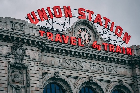 All year
Denver Union Station
Walk through the Great Hall before heading outside to Wynkoop Street for coffee or lunch. The train platforms sit behind the historic station.
If you have a bag after checkout, plan luggage storage before setting off on foot.
Plan your visit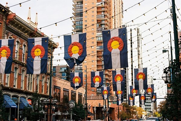 All year
Larimer Square
Look above the storefronts for the narrow brick facades on Larimer Street between 14th and 15th. This block is especially good around dusk, when the canopy lights come on.
Reserve dinner ahead if you also have a show on the same block.
Plan your visit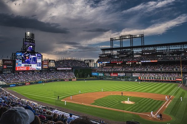 All year
Coors Field
Approach the ballpark from Union Station through the warehouse district. On a clear evening, seats looking toward left field can catch the mountains beyond the stands.
For a visit outside a game, check the Rockies’ ballpark tour calendar.
Plan your visit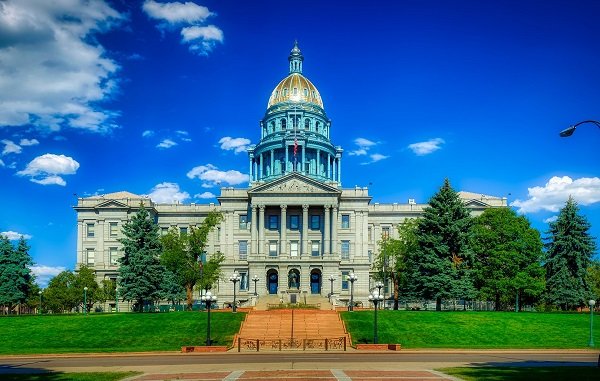 All year
Colorado State Capitol
Stand on the west steps for the mile-high markers, then head indoors for the building’s stonework, legislative chambers and state history.
Check public tour days and entry procedures before counting on a dome visit.
Plan your visit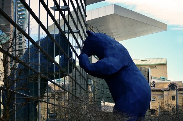 All year
Denver Performing Arts Complex
Walk the covered Galleria between the theaters. Ballet, touring productions and local theater share the complex, so the venue on your ticket matters.
Use the theater entrance and curtain time on your ticket to pick a dinner reservation.
Plan your visit All year
Confluence Park
Watch Cherry Creek join the South Platte, then follow the riverside path toward Commons Park. It makes a good outdoor break between downtown stops.
The shared paths carry commuter bikes. Step aside before stopping for a photo.
Plan your visitPhoto credits
- Denver Union Station · Open Road Colorado media collection
- Larimer Square · Open Road Colorado media collection
- Coors Field in Denver · Open Road Colorado media collection
- Colorado State Capitol · Open Road Colorado media collection
- Downtown Denver convention and entertainment district · Open Road Colorado media collection
- Downtown Denver near the South Platte corridor · Open Road Colorado media collection
Add something to your trip
Upcoming events in Denver
Find the city’s major festivals, parades and seasonal traditions. Open the calendar for individual dates and the event guide for routes, admission and visitor details.
Major festivals and seasonal events
Dates are local. Select a festival for its schedule and admission details.
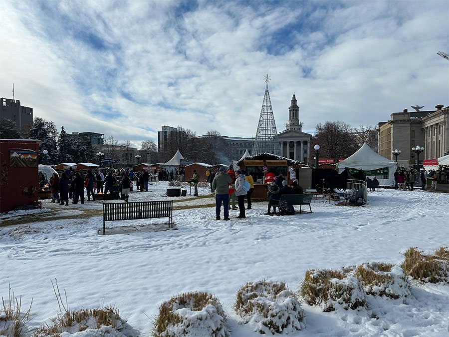 Nov 20 through Dec 23, 2026Denver Christkindlmarket
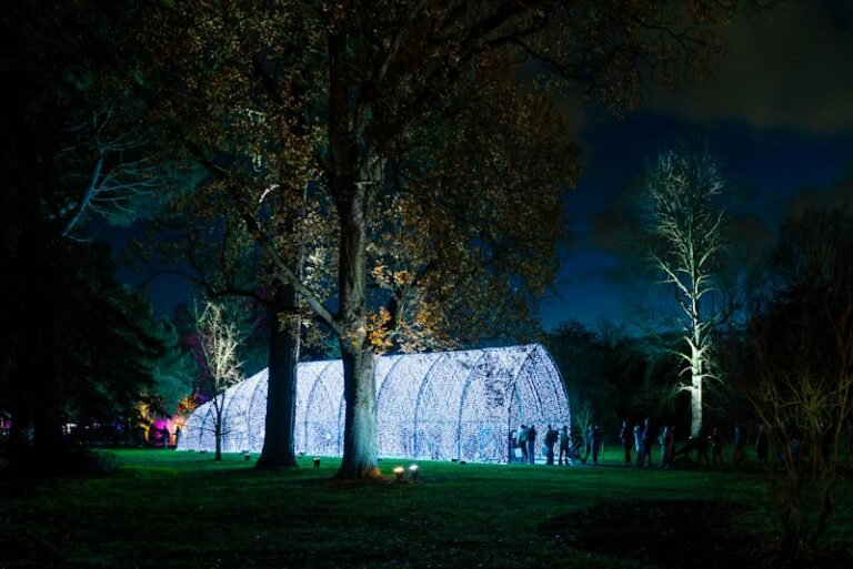 Nov 20, 2026 through Jan 10, 2027 · closed Nov 26 and Dec 25Blossoms of Light
 Nov 20 through Dec 31, 2026Mile High Tree
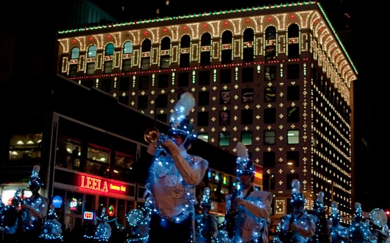 Dec 5, 2026 · 6 p.m.9NEWS Parade of Lights
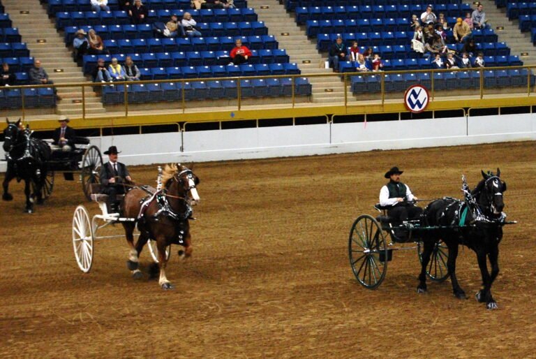 Jan 9 through 24, 2027National Western Stock Show
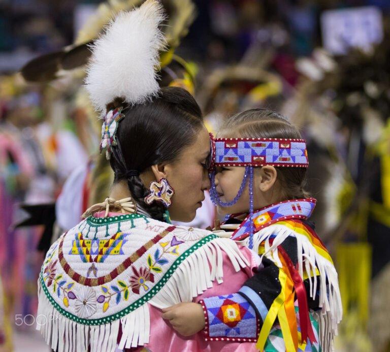 Mar 19 through 21, 2027Denver March Powwow
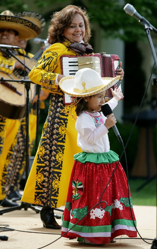 May 1 and 2, 2027Cinco de Mayo Festival
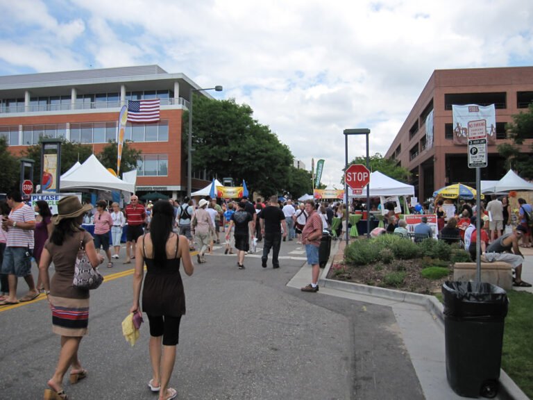 July 2 through 4, 2027Cherry Creek Arts Festival
Denver Christkindlmarket
Blossoms of Light
Mile High Tree
9NEWS Parade of Lights
View the events calendar
November 2026
Scroll across to see every day of the week.
Use the chevron to see more events for that day.
More annual festivals and seasonal events
Check these organizers for the next edition before choosing travel dates.
Denver PrideFest · June Five Points Juneteenth celebration · June Denver Chalk Art Festival Denver Oktoberfest · fall Denver Film Festival · fall St. Patrick’s Day Parade · March
Denver events calendar · Schedule checked November 20, 2026.
Event photo credits
- Denver Christkindlmarket · Open Road Colorado media collection
- Blossoms of Light · Illustrative photo. Bob Jenkin · Unsplash License
- Mile High Tree · Illustrative photo. Stefan Vibes · Unsplash License
- 9NEWS Parade of Lights · Brian Papantonio · CC BY 2.0
- National Western Stock Show · Nathan Walker · CC BY 2.0
- Denver March Powwow · David Brown Eyes · CC BY 3.0
- Cinco de Mayo Festival · Illustrative photo. White House · Public domain
- Cherry Creek Arts Festival · InSapphoWeTrust · CC BY-SA 2.0


After dark
Denver nightlife
Pick your evening by neighborhood. LoDo works well after the airport train or a Rockies game. Larimer Square pairs dinner with a show, and RiNo puts taprooms and street art on the same walk.
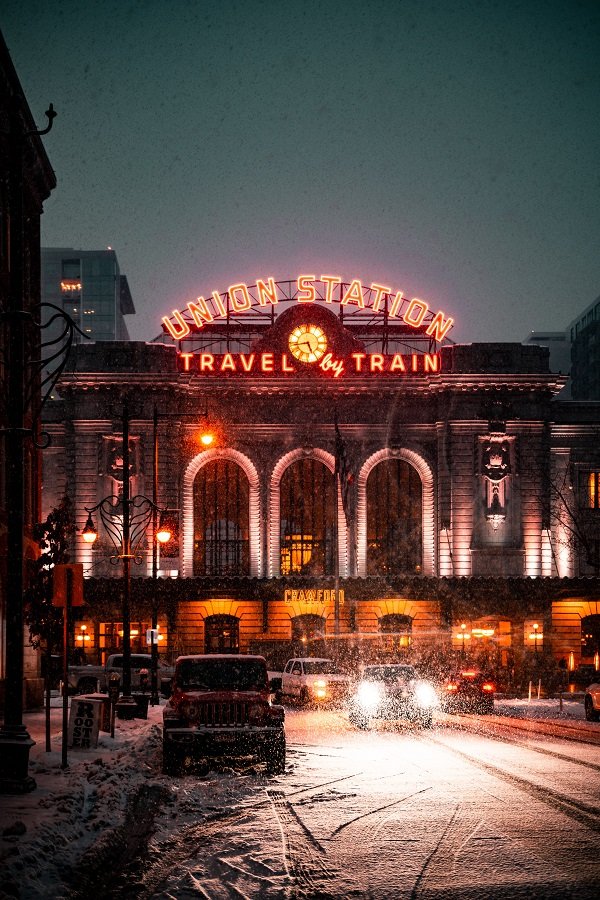
Union Station
A seated cocktail above the Great Hall
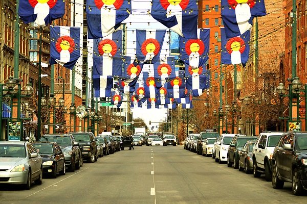
Larimer Square
Dinner and stand-up
Ballpark
A Rockies game and a late bite
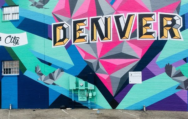
RiNo Art District
Taprooms and painted alleys
Photo credits
- Denver Union Station · Open Road Colorado media collection
- Larimer Square · Open Road Colorado media collection
- Coors Field · Open Road Colorado media collection
- Denver city view · Open Road Colorado media collection
Make room for an outdoor day
Hiking, biking & recreation
Denver’s easiest outdoor day starts at the water. Follow a creek through downtown, circle a park lake or take a longer ride on the South Platte.
Walking
Follow Cherry Creek from Confluence Park. Take the street-level route back for a different view of LoDo.
Explore the guideBiking
The South Platte River Trail connects downtown green spaces. Choose a turnaround before you leave and check detours.
Explore the guideBirding
Bring binoculars to City Park around dawn. Ferril Lake is an easy place to watch waterbirds from shore.
Explore the guideFishing
Explore urban river access on the South Platte and reservoir outings outside the city.
Explore the guideCompare local trails
Choose a route by distance, surface and time on foot.
Ferril Lake LoopEasy · lake circuit
- Distance & time
- Allow 25 to 40 minutes for a relaxed circuit and skyline photos.
- Climbing & surface
- Mostly level park paths. Check the surface where paths meet the pavilion.
- Start & parking
- Begin near the City Park Pavilion beside Ferril Lake.
- Access & dogs
- Keep dogs leashed and give nesting birds space.
Smith Lake LoopEasy · 0.6 mile
- Distance & time
- Allow 15 to 25 minutes around the lake at the north end of Washington Park.
- Climbing & surface
- Gentle park paths with benches and open views across the water.
- Start & parking
- Approach from the north end of Washington Park on foot or by bicycle.
- Access & dogs
- Leash dogs and watch for bicycles at path crossings.
Cherry Creek from Confluence ParkEasy · choose your distance
- Distance & time
- Walk 15 minutes upstream and return for a half-hour outing, or continue toward the convention district.
- Climbing & surface
- Paved shared path below street level, with ramps connecting to downtown.
- Start & parking
- Start where Cherry Creek meets the South Platte near the pedestrian bridges.
- Access & dogs
- Keep dogs close on shared paths. Check closures after high water.
Take a look around
Explore downtown Denver
From the platforms on Wynkoop to the brick storefronts on Larimer, these landmarks are close enough to see on the same walk.
Photo credits
- Union Station · Open Road Colorado media collection
- Larimer Square · Open Road Colorado media collection
- Coors Field · Open Road Colorado media collection
Keep exploring
More fun things to do around Denver
Leave a half day for one of these stops outside the city.
 Morrison
Red Rocks Park
Walk the amphitheatre steps or choose a park trail. Check event closures before driving up.
Plan your outing Northwest via US 36
Boulder
Spend the morning on the Pearl Street Mall, then head toward Chautauqua for views of the Flatirons.
Plan your outing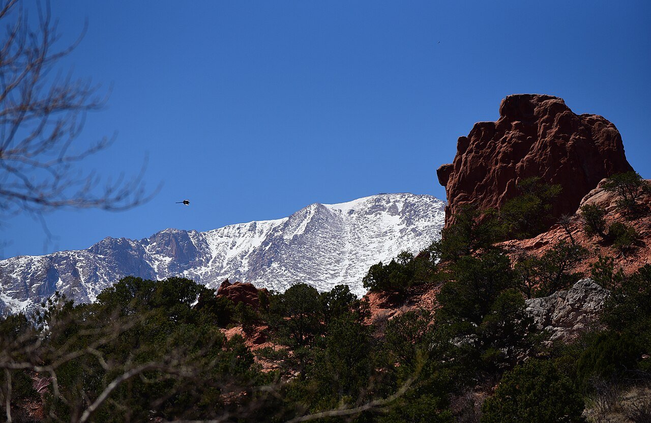 South via I-25
Colorado Springs
Walk among the sandstone fins at Garden of the Gods, then stop for lunch on Colorado Avenue.
Plan your outingPhoto credits
- Red Rocks Amphitheatre · Open Road Colorado media collection
- Boulder, Colorado · Open Road Colorado media collection
- Garden of the Gods and Pikes Peak · Open Road Colorado media collection
How the city grew
History of Denver
The story of downtown follows the water, then the railroad. You can still trace both on foot between Confluence Park and the station.
Before 1858A meeting place on the plains
The confluence of Cherry Creek and the South Platte was part of the homelands and travel routes of Indigenous peoples, including the Cheyenne and Arapaho. The river corridor sustained communities long before settlers laid out town streets.
1858Rival settlements beside Cherry Creek
Gold seekers established Auraria and Denver City on opposite sides of the creek. The settlements eventually joined, but Auraria’s name remains on the campus southwest of downtown. From Confluence Park, it is easy to see how close the early settlements were.
1870Rail reaches Denver
A connection north to Cheyenne tied Denver to the transcontinental railroad. Freight, passengers and new businesses followed. The warehouses around today’s ballpark and Union Station recall the city that grew around those tracks.
1914A station built for arrivals
The central portion of the Union Station building visitors see today dates to 1914. Its Great Hall once welcomed long-distance passengers. Today it still serves as a meeting place, with regional buses and rail departures behind the historic building.
Arrive with a plan
Parking & RV parks near Denver
Choose your first downtown stop before choosing a garage. A Rockies game, a convention and a theater performance can change parking demand within a few blocks.
Street meters
Read the sign on your block
Check the posted rate, time limit and street sweeping schedule before walking away.
Arts Complex garage
Downtown theater district
Useful for the Galleria and theater entrances.
Coors Field parking
Ballpark neighborhood
Use the Rockies’ parking map to choose an entry route before first pitch.
RTD Park-n-Ride
Stations outside downtown
Leave the car at a station that serves your return trip.
Accessible travel
Use RTD’s trip planner to check station elevators, service alerts and the walk from the platform to your venue.
Flying in
Denver International Airport to downtown Denver
The A Line connects the airport directly to Union Station. Downtown travelers can skip a rental car for the first part of the trip.

Denver International Airport
The airport rail platform sits below the hotel and transit plaza at the south end of the terminal. Union Station puts you within walking distance of LoDo hotels and the ballpark.
Official airport informationBy train
Allow about 37 minutes on board between Denver Airport Station and Union Station. Add walking and waiting time.
Trip detailsBy car
Peña Boulevard connects the terminal to I-70. Downtown traffic can add time near the I-25 interchange.
Trip detailsRental cars
Follow airport signs to rental-car shuttles. Compare the cost of overnight hotel parking before booking a full-stay rental.
Trip detailsAccessible transfers
Check elevator alerts for the airport rail station and verify your hotel’s entrance before departure.
Trip detailsFlying into Colorado Springs
COS is south of Denver and requires a separate ground transfer. Compare the extra travel time with the airfare difference. Airport guide
Local maps and trip advice
Denver Visitor Center
Pick up a map when you step off the airport train. The desk can help with downtown routes and visitor guides. Convention attendees can also find visitor information at 700 14th Street.
Tourist Information Desk at Union Station
- Location
- 1701 Wynkoop St, Denver
- Published hours
- Daily, 9 a.m. to 4 p.m. Station events may affect hours.
- Visitor information
- VisitorInfo@visitdenver.com
Plan the drive
Denver map & driving directions
I-25 follows the Front Range through Denver. I-70 enters from the plains and continues west into the foothills. Downtown streets and event closures can make the final mile the slowest.
The map centers on downtown. Select your garage, trailhead or hotel as your final stop.
Drive times & directions
| From | Miles | Drive time | Route |
|---|---|---|---|
| BoulderUS 36 southeast | ≈ 30 | 35 to 55 min | Directions |
| Fort CollinsI-25 south | ≈ 65 | 1 to 1½ hr | Directions |
| Colorado SpringsI-25 north | ≈ 70 | 1¼ to 1¾ hr | Directions |
| Grand JunctionI-70 east | ≈ 245 | 4 to 5 hr | Directions |
Approximate distances and times in normal conditions, not live traffic estimates. Weather, construction and downtown parking can change travel times. COtrip
Check the drive before leaving. Snow, traffic and construction can change travel times. COtrip road conditions
A few things to know
Denver travel questions
Practical details for planning your visit.
Can I visit Denver without a car?
Yes. Take the A Line to Union Station and group downtown sights on foot. Red Rocks and other foothills outings need separate transportation.
Where should I stay for a first visit?
LoDo makes the airport train, Coors Field and Larimer Square easy to reach. The Golden Triangle works well if museums and the Capitol are your priorities.
What should I book for the Stock Show?
Grounds admission and a ticketed rodeo are different purchases. Choose the performance you want first and check what its ticket includes.
How far is RiNo from Larimer Square?
Both use Larimer Street, but they are different outings. Find the street number before arranging a ride or making a dinner reservation.
When is a good time for an outdoor visit?
Spring through fall offers longer evenings for neighborhood walks. In summer, plan an early park loop and save an indoor museum for the warmer afternoon.