
Mesa County · Colorado’s Western Slope
Grand Junction, Colorado
Stand at the confluence of the Colorado and Gunnison rivers and the name Grand Junction makes sense. West of town, red sandstone walls rise above the valley. To the east, peach orchards and vineyards run up against the Book Cliffs. Beyond them, the road climbs out of the desert into the spruce forests, fishing lakes and ski runs of Grand Mesa.
Saved in this browser.


Photo credits
Regional landscapes and federal building photographs by Carol M. Highsmith, Library of Congress. Colorado photographs include work from the Gates Frontiers Fund Colorado Collection. Airport photography and event illustrations are from Open Road Colorado. Colorado River photograph by the U.S. Geological Survey. Dinosaur Journey and Grand Mesa Scenic Byway photographs from the U.S. National Archives, identifiers 7718034 and 7718684.
Avalon Theatre by Always dreamin · CC BY-SA 4.0. Powderhorn Mountain Resort by Jeffrey Beall · CC BY 4.0.


Illustrative winery photography from Unsplash by Jeff Higdon, Jim Harris, Al Elmes. Market stall photograph by Shelley Pauls. Museum of the West tower by Wusel007 · CC BY-SA 3.0.

- County
- Mesa CountyWestern Colorado
- City elevation
- About 4,600 feetGrand Valley floor
- Rivers
- Colorado & GunnisonMeet at the edge of downtown
- Main approaches
- I-70 & US 50Fruita west · Palisade east
Choose your stops
Fun things to do in Grand Junction, Colorado
Give Rim Rock Drive a morning, especially if you plan to walk beyond the overlooks. Downtown pairs well with an afternoon along the river. Fruita’s trails and the drive up Grand Mesa each deserve an outing of their own.
 All year
Colorado National Monument
The 23-mile Rim Rock Drive connects the Grand Junction and Fruita entrances. Pull into Grand View to see Independence Monument standing away from the canyon wall. For a short walk above Wedding Canyon, start at Saddlehorn Visitor Center.
Park map, entrances & conditions Spring & fall
The Book Cliffs & Mount Garfield
The Book Cliffs form the long, stepped wall north of I-70. Mount Garfield is the landmark above Palisade. Its summit trail climbs roughly 2,000 feet in two miles each way. For the view from below, take the orchard roads south of the interstate.
Explore the Palisade area Summer & fall
Palisade Fruit & Wine Byway
Follow the farm roads through peach orchards and vineyards. Choose a shorter route near downtown Palisade or climb onto East Orchard Mesa for a longer ride. Farm stands open as crops ripen, and tasting rooms keep their own hours.
Choose a winery stop All year
Colorado Riverfront Trail
Start at Las Colonias Park for a paved ride near downtown. Farther west, Connected Lakes has quieter paths between cottonwoods and fishing ponds. Choose your access point before setting out; the river corridor stretches well beyond town.
Riverfront Trail maps All year
Dinosaur Journey in Fruita
See Jurassic fossils, reconstructed skeletons and the tools paleontologists use to prepare specimens. The museum is off the Fruita exit, close enough to pair with Saddlehorn and the monument’s west entrance.
Museum hours & exhibits All year · weather dependent
Grand Mesa Scenic Byway
Leave I-70 in De Beque Canyon and follow CO 65 up Plateau Creek. The road passes the Powderhorn turnoff before climbing into spruce forest and a landscape dotted with lakes. Island Lake makes a natural turnaround for a summer day trip.
Grand Mesa recreation informationYour selections are saved in this browser.
Add something to your trip
Upcoming events in Grand Junction
Catch baseball at Suplizio Field, bluegrass beside the Colorado River, or a harvest festival in Palisade. The town on each listing tells you where to go.
Annual festivals & major events
Exact dates appear when announced. A season or month indicates the customary time of year.
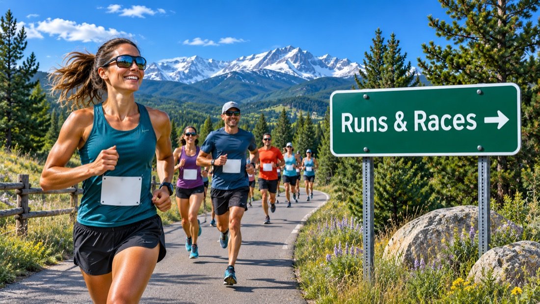 November 26, 2026 · Grand JunctionGJ Turkey Trot 5K
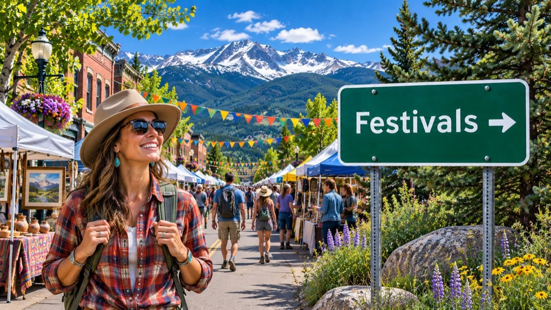 December 4–5, 2026 · PalisadeOlde Fashioned Christmas
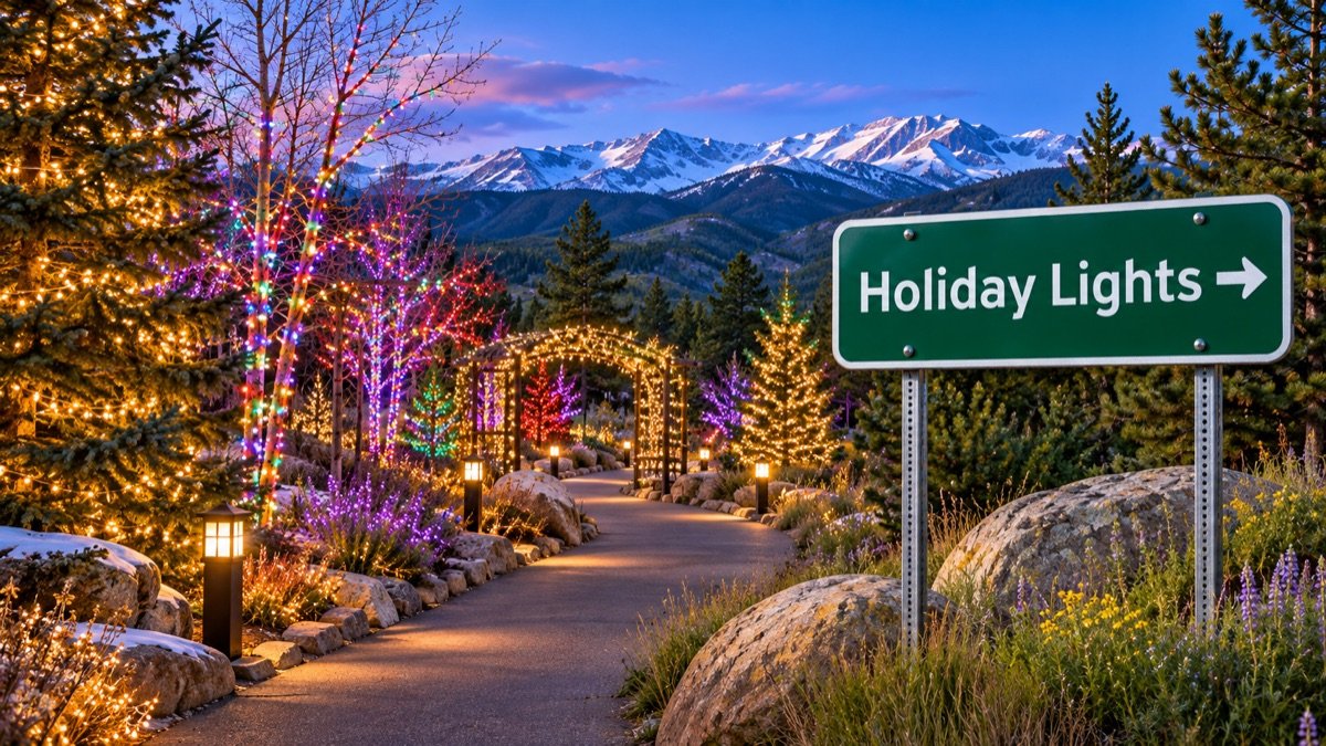 December 5, 2026 · Grand JunctionParade of Lights
 December 11–12, 2026 · Grand JunctionSpirit of Christmas WalkDecember 12, 2026 · FruitaFruita Parade of Lights
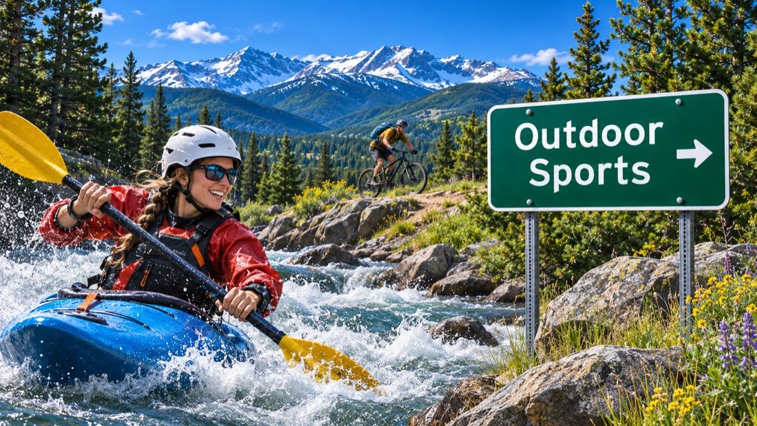 February 25–27, 2027 · Grand JunctionBanff Centre Mountain Film Festival World Tour
 March 26–27, 2027 · Grand JunctionMesa County Libraries Comic ConSpring · Grand JunctionMaverick Classic & Beer Fest
 April 3–4, 2027 · PalisadeEdesia Culinary, Wine & Spirits AdventureApril 8–11, 2027 · Fruita & LomaDesert RATS Trail Running Festival by UTMBApril 10, 2027 · Grand JunctionColorado Honeybee Festival
 April 24, 2027 · Grand JunctionSouthwest Arbor FestSpring · Palisade & Grand Valley wineriesBarrel Into SpringReturn unconfirmed · FruitaFruita Fat Tire Festival
 Spring · Grand JunctionGrand Junction Rides & VibesMay 29–June 4 or 5, 2027 · Grand JunctionJUCO World SeriesEarly summer · FruitaMike the Headless Chicken FestivalJune 11–13, 2027 · PalisadePalisade Bluegrass & Roots Festival
 Summer · Downtown Grand JunctionMarket on MainJune 25–27, 2027 · Palisade & area farmsColorado Lavender FestivalSummer · FruitaFruita RimRock Rodeo SeriesSummer · Downtown Grand JunctionRhythm and Brews Concert SeriesEarly July · FruitaJuly Third Fireworks ShowJuly · Downtown Grand JunctionFourth of July ParadeJuly 13–17, 2027 · Grand JunctionMesa County FairAugust · PalisadePalisade Peach FestivalSeptember · Grand JunctionGrand Junction Pride WeekendSeptember 13–19, 2027 · Palisade & statewideColorado Wine WeekSeptember · PalisadeColorado Mountain WinefestSeptember · PalisadeTour de VineyardsSeptember · Grand JunctionDowntown Car ShowFall · Grand Junction & Colorado National MonumentTour of the MoonFall · Downtown FruitaFruita Fall FestivalFall · Grand JunctionDowntown Art FestivalOctober · Grand JunctionDowntown SpooktacularFall · Colorado National Monument & FruitaRim Rock Marathon & Half MarathonNovember · Grand JunctionDowntown Tree Lighting
GJ Turkey Trot 5K
Olde Fashioned Christmas
Parade of Lights
Spirit of Christmas Walk
Fruita Parade of Lights
View the events calendar
November 2026
Scroll across to see every day of the week.
Use the chevron to see more events for that day.
Country Jam in Mack paused in 2026. The Grand Junction Air Show also runs on a separate schedule. Neither has a confirmed 2027 date. Event dates checked November 22, 2026. Grand Valley event calendar
Grand Valley wine country
Wineries & vineyards
For a monument-and-wine day, stay west of downtown and visit Two Rivers. For a day among the vines, go east to Palisade. Pick your tasting rooms before setting out: two stops that look close on a map can be on opposite sides of the Colorado River.

Two Rivers Winery & Chateau
Broadway · Grand Junction

Colterris
Palisade · estate-grown wines
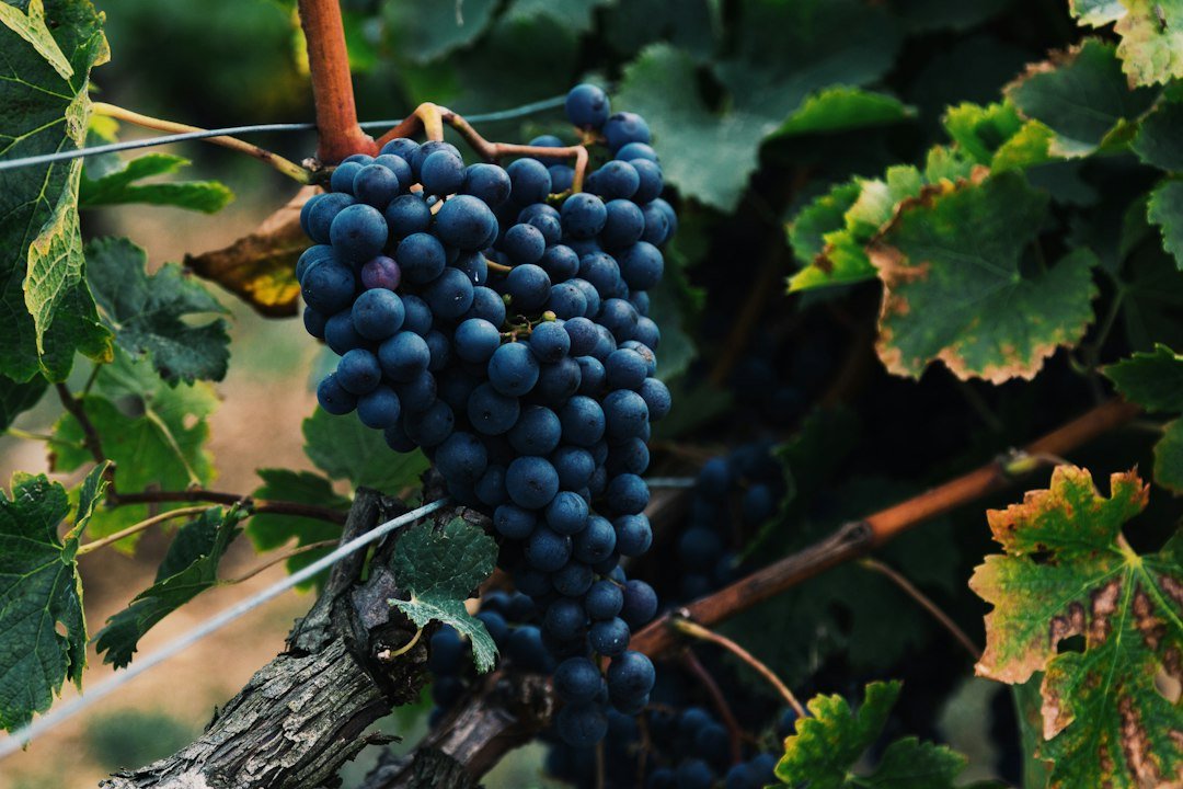
BookCliff Vineyards
Palisade · East Orchard Mesa

Fruit & Wine Byway
Palisade · self-guided orchard and vineyard routes
From the river to the mesa
Hiking, biking & recreation
Elevation changes the whole outing here. The river path can be dry while Grand Mesa still has groomed ski trails. Choose your destination first, then check conditions for that elevation.
Hiking
Walk Canyon Rim Trail from Saddlehorn, descend toward Devils Kitchen from the east entrance, or take on Mount Garfield for a steep climb above the farms.
Monument trail informationRoad & path cycling
The paved Riverfront Trail gives you a valley-floor ride. Rim Rock Drive is a different undertaking, with sustained climbs, tunnels and narrow shoulders.
Find a river access pointMountain biking
Choose 18 Road north of Fruita for rolling singletrack below the Book Cliffs. The Kokopelli system near Loma has rocky benches above the Colorado. Lunch Loops puts technical riding closest to Grand Junction.
Local trail informationFishing
Look to the Connected Lakes ponds for a short outing close to town. In summer, follow CO 65 to the lakes on Grand Mesa for cooler water and shoreline fishing.
Fishing regulations & licensesColorado River trips
Ask a local outfitter which Grand Valley reach suits your group and the day’s flows. Farther west, Ruby–Horsethief begins near Loma and continues into Utah. Overnight camps on that reach are managed through a permit system.
McInnis Canyons river informationDownhill & Nordic skiing
Powderhorn Mountain Resort is about 40 road miles from Grand Junction via I-70 and CO 65. For cross-country skiing, continue up the mesa to the Skyway and County Line trailheads.
Powderhorn lifts & lessons · Nordic grooming reportCompare Grand Valley trails
Compare distance, surface and starting point before heading out.
Canyon Rim TrailColorado National Monument · about ½ mile each way
- Distance & time
- About one mile round trip.
- Climbing & surface
- Packed ground and sandstone along the canyon rim.
- Starting point
- Saddlehorn Visitor Center or Book Cliffs View.
Start at Saddlehorn Visitor Center or Book Cliffs View. The trail follows the canyon edge on packed ground and sandstone. Pick a signed overlook if you prefer a shorter stop with fewer footing changes.
Devils KitchenColorado National Monument · about ¾ mile each way
- Distance & time
- About 1½ miles round trip.
- Climbing & surface
- Sandy approach, sloping slickrock and stone steps.
- Starting point
- Devils Kitchen trailhead near the east entrance.
Start near the east entrance. The sandy approach gives way to sloping slickrock and stone steps near the rock enclosure. Allow time to find the final approach and explore the alcove.
Connected LakesColorado River corridor · choose your distance
- Distance & time
- Choose a short pond loop or connect multiple paths.
- Climbing & surface
- Paved and natural surfaces beside the water.
- Starting point
- Connected Lakes section of James M. Robb Colorado River State Park.
Start at the Connected Lakes section of James M. Robb Colorado River State Park. Follow a pond edge for a short walk or link paths for a longer outing. The park map distinguishes paved routes from natural-surface paths.
Walk Main Street
Explore downtown Grand Junction
Walk Main Street from the shops and outdoor sculptures toward the Avalon Theatre. Turn onto Fifth Street for the Museum of the West, or head a few blocks north to see the historic federal building on Rood Avenue.


Keep exploring
More fun things to do around Grand Junction
Go west for Fruita and canyon country. Go east for Palisade and the turn toward Grand Mesa. These outings start in opposite directions, so group stops by route.
 About 13 miles west
Fruita
Start with coffee downtown, then choose Dinosaur Journey, a ride at 18 Road, or the monument’s west entrance. Fruita is also a convenient dinner stop after a Kokopelli trail ride.
Explore Fruita About 15 miles east
Palisade
Start in town for bakeries and tasting rooms. Head out along the byway for orchards and vineyards, or walk down to Riverbend Park for time beside the Colorado.
Explore PalisadeWest of FruitaLoma & McInnis Canyons
The Loma area gives you access to the Kokopelli trails and the Colorado River launch for Ruby–Horsethief. For a walking day, look at the separate Devils Canyon and Pollock Bench trailheads closer to Fruita.
McInnis Canyons access East on I-70 · south on CO 65
Mesa & Powderhorn
The community of Mesa lies below the resort. Continue uphill for skiing at Powderhorn in winter, or check the resort’s summer schedule for lift-served mountain biking.
Powderhorn seasonal operationsTwo rivers and a working valley
History of Grand Junction
The city’s name preserves an older name for the Colorado River. Its surrounding landscape tells another part of the story: irrigation carried water from the river onto the dry benches where orchards and vineyards grow today.

Ute homelandBefore the townsite
The Grand Valley is part of the ancestral homeland of the Ute people. In the nineteenth century, treaties and forced removal displaced Ute communities from much of western Colorado. Ute people and sovereign Ute tribes continue to maintain ties to the region.
1880sA city at the confluence
Grand Junction developed where the Gunnison meets what Coloradans then called the Grand River. Rail connections made the valley a shipping point for fruit, livestock and supplies. The upper Grand River officially took the Colorado River name in 1921.
1911Colorado National Monument
Federal protection preserved the sandstone canyons and monoliths west of town. The later construction of Rim Rock Drive opened the high benches and canyon overlooks to travelers arriving from either Grand Junction or Fruita.
Monument historyArrive with a plan
Parking & RV parks near Grand Junction
Downtown parking, monument overlooks and overnight campsites have different rules. Choose a parking area for your first stop, especially if you are towing.
Main Street & Rood Avenue
Use signed street spaces or the public parking garage at Fourth and Rood. The garage puts you within walking distance of Main Street.
Rim Rock Drive
Use designated overlook pullouts. Saddlehorn is a practical first stop for restrooms, park information and the Canyon Rim Trail.
Choose the route by surface
For a paved river outing, start with the Riverfront Trail. For canyon scenery, select an accessible overlook before driving Rim Rock Drive.
Arriving with a trailer
Check your rig’s height and length before entering Rim Rock Drive. Leave the trailer at camp for a day exploring the overlooks.
Flying in
Grand Junction Regional Airport
The airport is on the north side of Grand Junction. You can reach downtown without crossing a mountain pass, and I-70 is close to the terminal for trips to Fruita or Palisade.
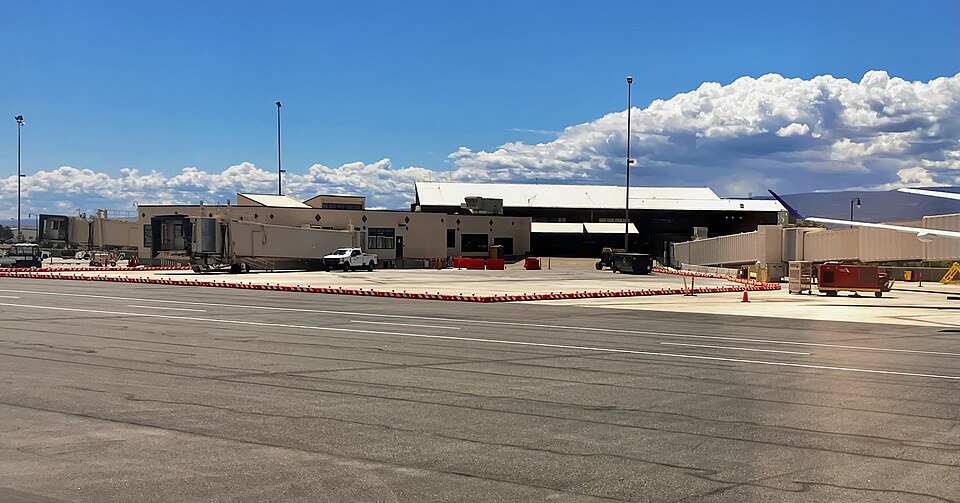
From the terminal to Main Street
Allow around 15 minutes in ordinary traffic. Follow Horizon Drive toward town. For the monument, enter the entrance or visitor center you intend to use as your destination.
Official airport informationRental cars
Reserve ahead for ski weekends and festival dates. Confirm the counter’s closing time if you arrive late.
Taxi & rideshare
Follow terminal signs for ground transportation. For an early departure from Palisade or Fruita, arrange the return pickup beforehand.
Bus & local transit
Grand Valley Transit serves the valley. Check the current route, operating day and last connection for your arrival time.
Grand Valley TransitFlights & connections
Check the airport’s current destinations when comparing fares. For Denver arrivals, allow for the full I-70 mountain drive and possible weather delays.
Flights & airport servicesLocal maps and trip advice
Grand Junction Visitor Center
Stop on Horizon Drive for monument maps, current winery information and help choosing a Grand Mesa route. The center also hosts rotating work by local artists.
Grand Junction Visitor Center
- Address
- 740 Horizon Drive
- City
- Grand Junction, CO 81506
- Published hours
- Monday–Friday, 8:15 a.m.–5:15 p.m.
- Visitor information
- 970-244-1480
Plan the drive
Grand Junction map & driving directions
I-70 follows the Colorado River into the Grand Valley from the east and continues west toward Fruita and Utah. US 50 comes in from Delta and Montrose.
The map marks downtown Grand Junction. Choose the Fruita or Grand Junction entrance separately for Colorado National Monument.
Drive times & directions
| From | Miles | Drive time | Route |
|---|---|---|---|
| DenverI-70 west through Glenwood Canyon | 245 | 4–5 hours | Get directions |
| Colorado SpringsI-25 north to the Denver area, then I-70 west | 310–315 | 5–6 hours | Get directions |
| FruitaI-70 east or US 6 & 50 | 13 | 15–20 minutes | Get directions |
| PalisadeI-70 west or US 6 | 15 | 20–25 minutes | Get directions |
| Grand Junction Regional AirportHorizon Drive toward downtown | 5–6 | About 15 minutes | Get directions |
Approximate mileage and travel times vary with route and weather. COtrip
The forecast for downtown Grand Junction can be very different from the forecast for I-70’s mountain passes or CO 65 on Grand Mesa. Check COtrip for your route.
Plan your stay
Grand Junction travel questions
Which entrance should I use for Colorado National Monument?
For Saddlehorn Visitor Center and Canyon Rim Trail, use the west entrance near Fruita. For Devils Kitchen, use the east entrance near Grand Junction. To drive the full Rim Rock route, enter on one side and leave on the other.
Are the wineries closer to Fruita or Palisade?
Palisade and East Orchard Mesa have the main cluster of vineyard tasting rooms. Two Rivers is on the west side of Grand Junction and pairs well with a Fruita or monument outing.
Can I ski within 60 miles of Grand Junction?
Yes. Powderhorn Mountain Resort is about 40 road miles from Grand Junction. Take I-70 east to CO 65 and follow the road toward Grand Mesa. Check the resort’s daily lift report before driving up.
Are there developed hot springs within a 60-mile drive?
The developed soaking pools near Glenwood Springs are roughly 90 road miles east. If you are already driving I-70 between Denver and Grand Junction, Glenwood makes a convenient stop on that trip. Explore Glenwood Springs.
Where can I see the Colorado and Gunnison rivers meet?
Start at the riverfront around the Confluence section of the Riverfront Trail. Use the trail map to find the signed approach. Las Colonias is farther east along the Colorado and works well for a separate paved walk or bike ride.Open the Riverfront Trail map
Where should I stay for a first visit?
Choose downtown Grand Junction for walking to dinner, the Avalon and public art. Choose Fruita for mountain biking and the monument’s west entrance. Stay in Palisade if vineyard visits are the focus, or along Horizon Drive for an early flight.
What works for a short or accessible sightseeing day?
Combine a paved downtown sculpture walk with a signed accessible overlook at the monument. For river scenery, check the state park’s Connected Lakes map for paved paths, accessible parking and restrooms.
How would you spend two days in the Grand Valley?
On day one, enter the monument from Grand Junction, follow Rim Rock Drive to Saddlehorn, then have lunch in Fruita and visit Dinosaur Journey. On day two, start in Palisade. Choose either an afternoon among the vineyards or the drive up Grand Mesa; doing both leaves little time at either.