
Gunnison County · Elk Mountains
Crested Butte, Colorado
Start on Elk Avenue for breakfast, then choose a valley. The Slate River leads toward meadows and singletrack, Gothic Road climbs past the ski lifts, and southbound CO 135 follows the East River toward Almont. In July, wildflower walks can fill a whole morning close to town.
Saved in this browser.

Photo credits
- Wildflowers near Crested Butte · Open Road Colorado media collection.
- Town of Crested Butte · Open Road Colorado media collection.
- Mount Crested Butte · Open Road Colorado media collection.
- County
- Gunnison CountyWest Elk Mountains
- Town elevation
- 8,885 feetAcclimate to the altitude
- Landscape
- Upper East River valleyElk Mountains
- Winter approach
- CO 135North from Gunnison
Choose your stops
Fun things to do in Crested Butte, Colorado
Choose a stop below for directions, local guides and a spot on your travel list.
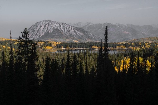 All year
Historic Crested Butte
Spend time on the town streets and at cultural stops before driving farther into the valleys.
Walking and local buses can cover much of a town day.
Explore Historic Crested Butte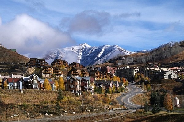 Summer & winter
Crested Butte Mountain Resort
The resort base is in Mt. Crested Butte, uphill from the historic town. Red Lady Express and Silver Queen serve different parts of the mountain.
Check your lesson confirmation for the meeting point and the resort’s lift report for open terrain.
Explore Crested Butte Mountain ResortSummer & fallLower Loop
A town-connected hiking and biking choice through protected valley land.
Follow the land trust’s route guidance and remember that winter use is managed differently.
Explore Lower Loop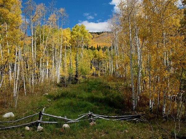 Summer & fall
Lupine and Gunsight Connector
A riding option above the Slate River Valley.
Use CBMBA’s directions and status, and plan the whole loop rather than assuming a short visible section is the complete ride.
Explore Lupine and Gunsight Connector Winter
Crested Butte Nordic
A winter trail network with current grooming information and passes.
Use designated routes and the correct pass for your outing.
Explore Crested Butte Nordic Summer & fall
Almont and the Taylor River
Make this a separate regional day for guided water recreation or fishing.
The meeting point may be south of Crested Butte rather than in town.
Explore Almont and the Taylor River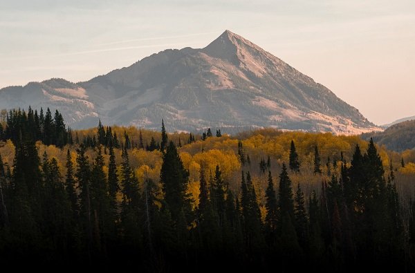 Summer & fall
Blue Mesa and Curecanti
A larger reservoir landscape west of Gunnison, useful for a separate fishing or water-focused day.
Check NPS access and current conditions before setting out.
Explore Blue Mesa and CurecantiYour selections are saved in this browser.
Photo credits
- Town of Crested Butte · Open Road Colorado media collection.
- Crested Butte Ski Resort · Open Road Colorado media collection.
- Wildflowers near Crested Butte · Open Road Colorado media collection.
- Crested Butte Fall Colors · Open Road Colorado media collection.
- Crested Butte Snow Pack · Open Road Colorado media collection.
- Lake Near Crested Butte · Open Road Colorado media collection.
- Crested Butte Peak · Open Road Colorado media collection.
Add something to your trip
Upcoming events in Crested Butte
Find festival dates, venues and organizer details. Open the calendar to see what falls during your stay.
Crested Butte festivals and seasonal events
Choose an event for its program, tickets and venue information.
Nov 25, 2026Resort Opening Day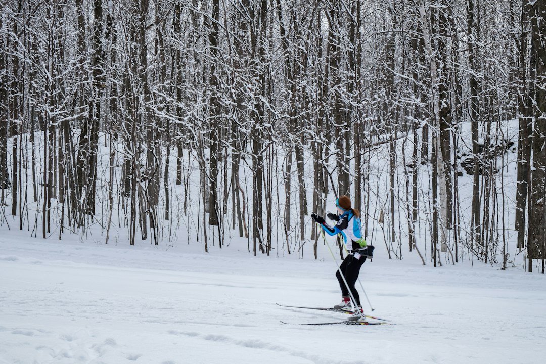 Nov 27, 2026 – Nov 29, 2026Thanksgiving Nordic Camp
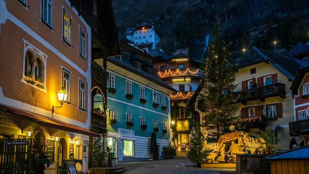 Dec 5, 2026Winterglow
 Dec 12, 2026Light Up the Night
 Select nights, Dec 2026 to Mar 2027Magic Meadows Yurt Dinners
 Dec 31, 2026New Year’s Eve Torchlight Parade
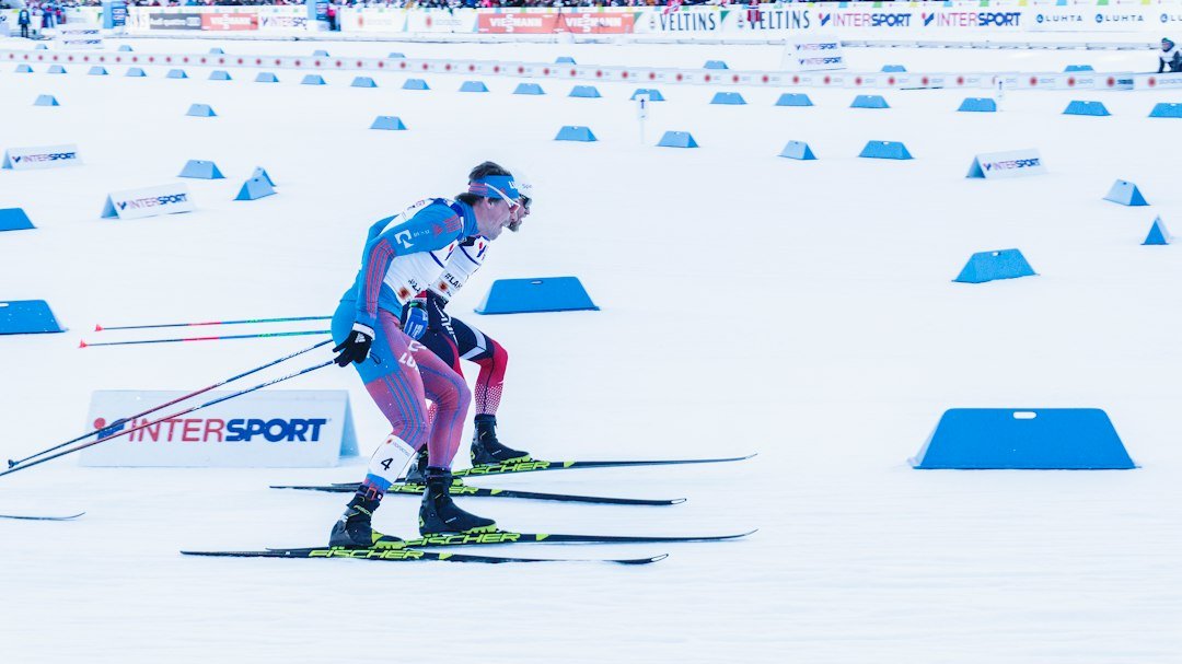 Jan 30, 2027Alley Loop Nordic Marathon
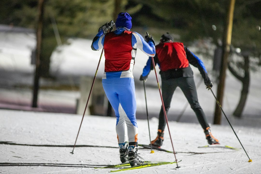 Feb 14, 2027Gothic Mountain Tour
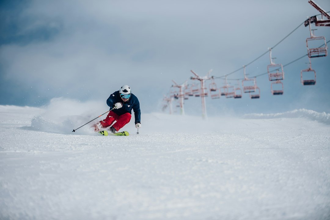 Feb 19, 2027 – Feb 22, 2027Crested Butte Freeride Qualifiers
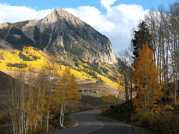 Feb 26, 2027 – Feb 28, 2027IFSA Junior Freeride Competitions
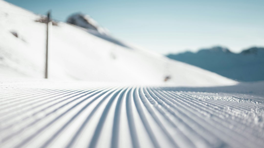 March 2027 · dates pendingAl Johnson Memorial Telemark RaceMar 28, 2027Winter Grand TraverseSki season closing week · dates pendingFlauschink
 May 20, 2027 – May 23, 2027Mountain Words Festival
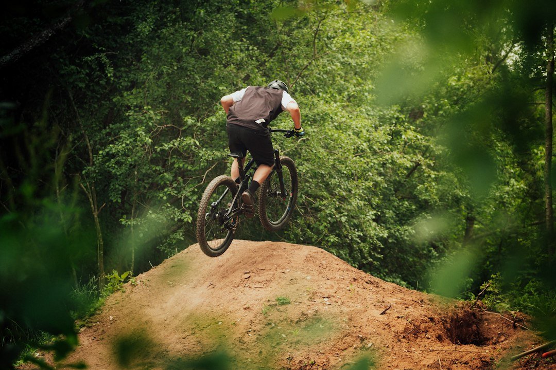 Jun 23, 2027 – Jun 27, 2027Junior Bike Week
 Summer through fall · dates pendingCrested Butte Farmers Market
 Jul 4, 2027Fourth of July ParadeJul 9, 2027 – Jul 18, 2027Crested Butte Wildflower Festival
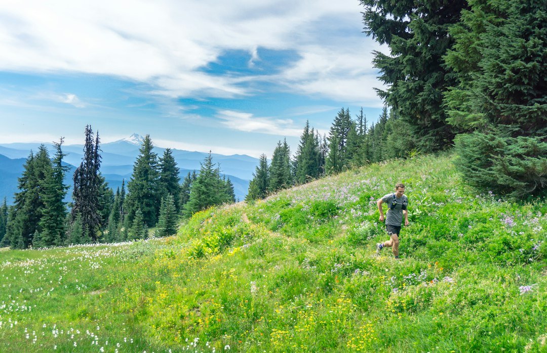 Jul 10, 2027Grin and Bear It Trail Run and Mountain Bike
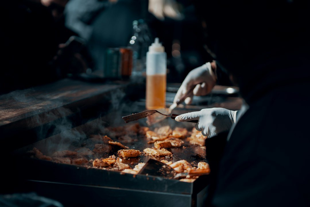 Jul 12, 2027 – Jul 17, 2027Crested Butte Wine + Food Festival
 Aug 6, 2027 – Aug 8, 2027Crested Butte Arts Festival
 Labor Day weekend 2027 · dates pendingParagon People’s Fair
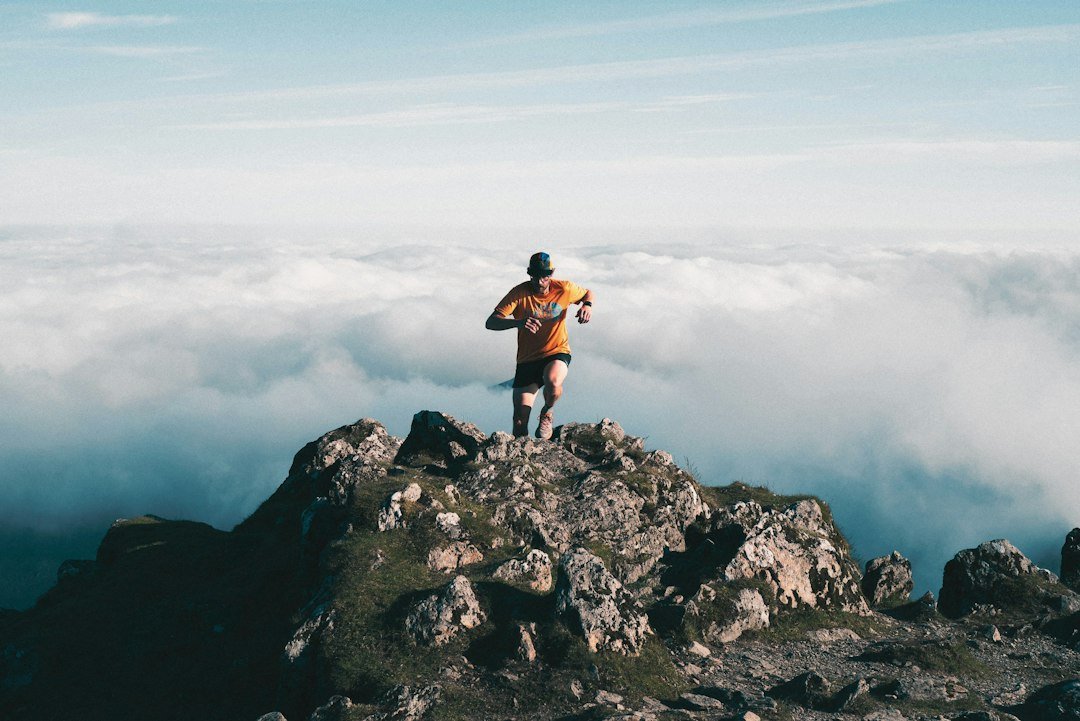 Sep 4, 2027Grand Traverse Mountain Run
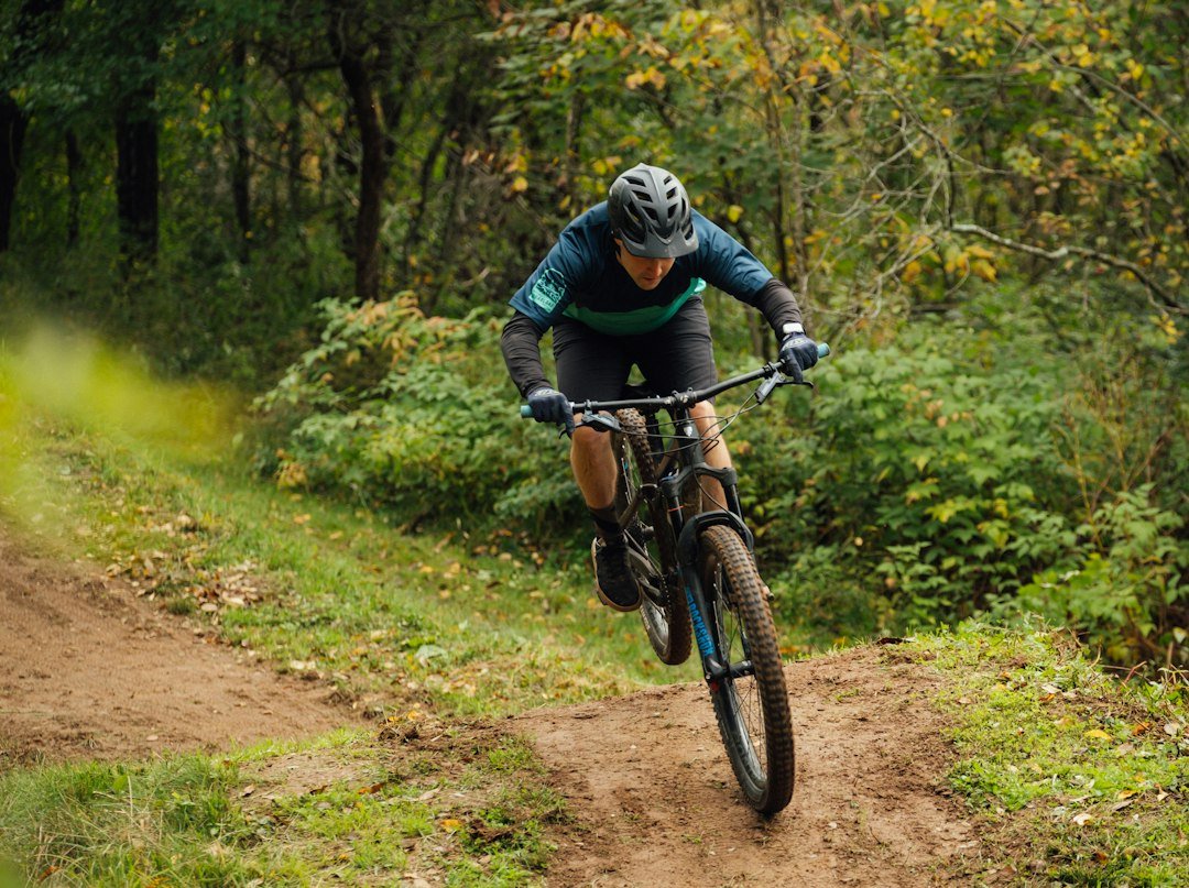 Sep 5, 2027Grand Traverse Mountain Bike
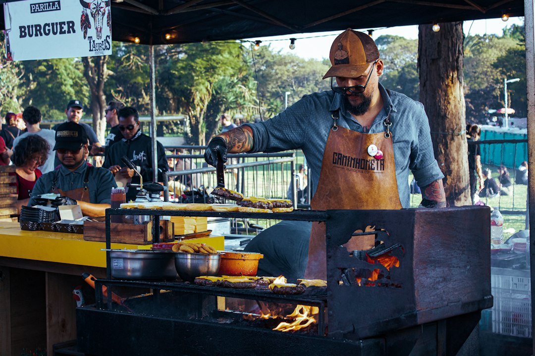 Late summer · dates pendingMt. Crested Butte Chili & Beer Festival
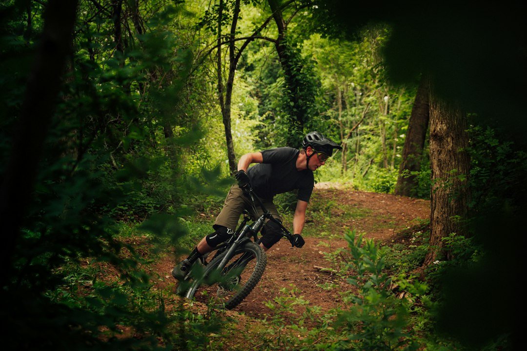 Fall · dates pendingBridges of the Butte
 September 2027 · dates pendingCrested Butte Film Festival
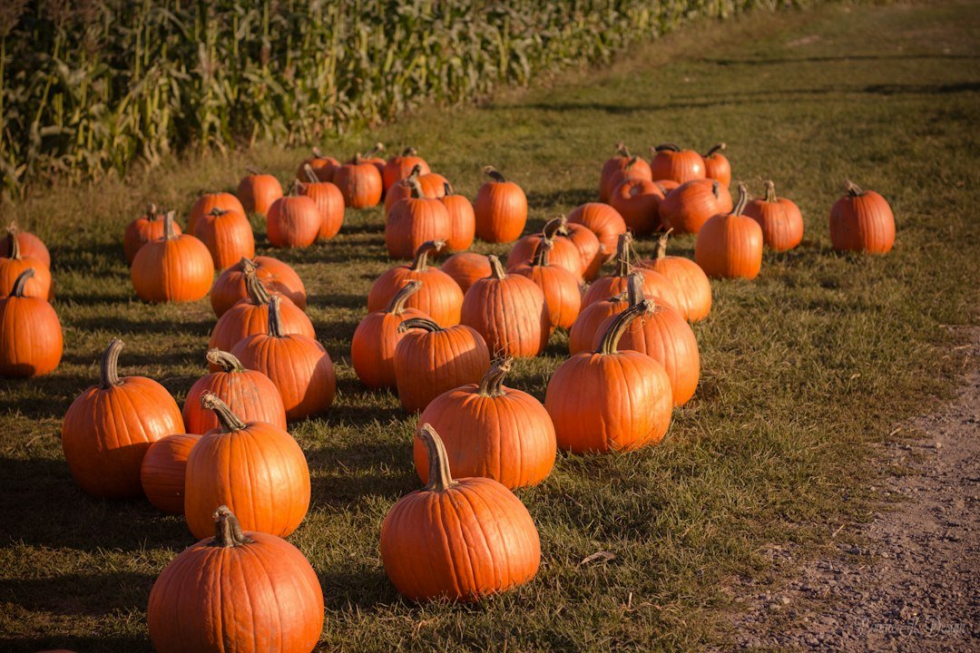 Fall · dates pendingMt. Crested Butte Fall Festival & Pumpkin Patch
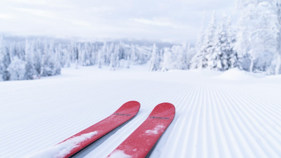 November 2027 · dates pendingCrested Butte Snowsports Foundation Gear Swap
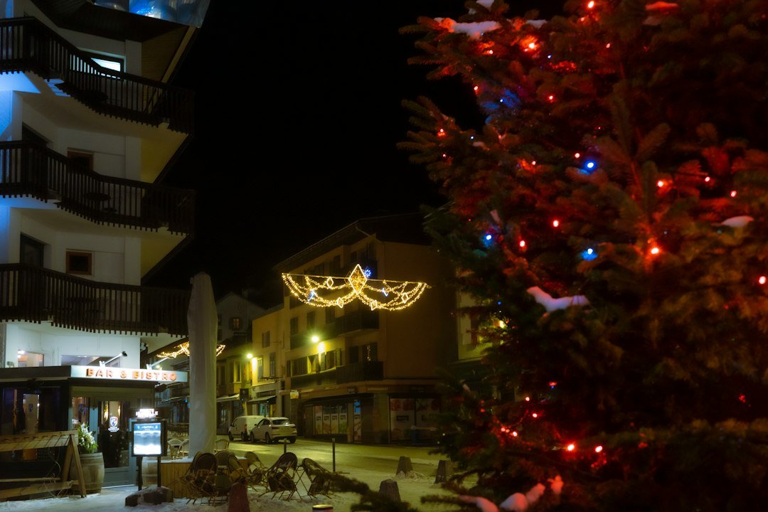 December 2027 · dates pendingWinterglow Tree Lighting
Resort Opening Day
Thanksgiving Nordic Camp
Winterglow
Light Up the Night
View the events calendar
November 2026
Scroll across to see every day of the week.
Use the chevron to see more events for that day.
More annual festivals and seasonal events
Find newly announced dates and programs on the local calendars.
Gunnison Valley events calendar · Travel Crested Butte calendar
Dates checked November 21, 2026. Crested Butte event calendar
Photo credits
- Resort Opening Day · Open Road Colorado media collection.
- Thanksgiving Nordic Camp · Illustrative photograph by Pierre Jarry on Unsplash.
- Winterglow · Illustrative photograph by Jeffrey Zhang on Unsplash.
- Light Up the Night · Illustrative photograph by mos design on Unsplash.
- Magic Meadows Yurt Dinners · Illustrative photograph by Arturo Rey on Unsplash.
- New Year’s Eve Torchlight Parade · Illustrative photograph by Anne Nygård on Unsplash.
- Alley Loop Nordic Marathon · Illustrative photograph by Martine Jacobsen on Unsplash.
- Gothic Mountain Tour · Illustrative photograph by Aaron Doucett on Unsplash.
- Crested Butte Freeride Qualifiers · Illustrative photograph by Andrei Stefan on Unsplash.
- IFSA Junior Freeride Competitions · Open Road Colorado media collection.
- Al Johnson Memorial Telemark Race · Illustrative photograph by Valentin Kremer on Unsplash.
- Winter Grand Traverse · Open Road Colorado media collection.
- Flauschink · Open Road Colorado media collection.
- Mountain Words Festival · Illustrative photograph by Tom Hermans on Unsplash.
- Junior Bike Week · Illustrative photograph by Tim Foster on Unsplash.
- Crested Butte Farmers Market · Illustrative photograph by Shelley Pauls on Unsplash.
- Fourth of July Parade · Illustrative photograph by Jonnica Hill on Unsplash.
- Crested Butte Wildflower Festival · Open Road Colorado media collection.
- Grin and Bear It Trail Run and Mountain Bike · Illustrative photograph by Brian Erickson on Unsplash.
- Crested Butte Wine + Food Festival · Illustrative photograph by Ross Sneddon on Unsplash.
- Crested Butte Arts Festival · Illustrative photograph by Karolina Badzmierowska on Unsplash.
- Paragon People’s Fair · Illustrative photograph by Karolina Badzmierowska on Unsplash.
- Grand Traverse Mountain Run · Illustrative photograph by Alban ROZES on Unsplash.
- Grand Traverse Mountain Bike · Illustrative photograph by Tim Foster on Unsplash.
- Mt. Crested Butte Chili & Beer Festival · Illustrative photograph by Stéfano Girardelli on Unsplash.
- Bridges of the Butte · Illustrative photograph by Tim Foster on Unsplash.
- Crested Butte Film Festival · Illustrative photograph by Denise Jans on Unsplash.
- Mt. Crested Butte Fall Festival & Pumpkin Patch · Illustrative photograph by Bonnie Kittle on Unsplash.
- Crested Butte Snowsports Foundation Gear Swap · Illustrative photograph by Hendrik Morkel on Unsplash.
- Winterglow Tree Lighting · Illustrative photograph by Jeffrey Zhang on Unsplash.
On the mountain
Ski & snowboard Crested Butte Mountain Resort
Crested Butte Mountain Resort plans to open November 25, 2026, with first chair at 9 a.m. on Red Lady Express. Check the lift report for terrain available that day.
Mountaineer Square
Resort base

Red Lady Express
Cruising terrain
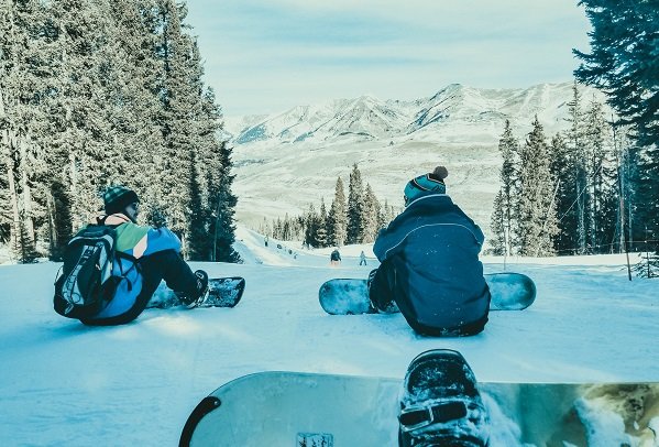
Silver Queen Express
Higher slopes
North Face and High Lift
Expert terrain
Daily conditions, lift openings and lesson meeting points come from the resort.Resort operations
Photo credits
- Crested Butte Ski Resort · Open Road Colorado media collection.
- Crested Butte Best Destinations · Open Road Colorado media collection.
- Crested Butte Resort Snow Pack · Open Road Colorado media collection.
- Mount Crested Butte · Open Road Colorado media collection.
Make room for an outdoor day
Hiking, biking & recreation
Pick an activity or compare the three local routes below before heading out.
Hiking
From Peanut Lake Road, the Lower Loop follows the Slate River valley. Choose a meadow turnaround for a shorter day on foot.
Explore Crested Butte hikingBiking
For a ride between town and the resort base, take the paved recreation path along Gothic Road. The uphill trip leads toward Mt. Crested Butte.
Explore Crested Butte cyclingMountain biking
Link Lupine and the Gunsight Connector for hillside singletrack. Check the local trail report before riding after rain or during spring thaw.
Explore mountain bikingFly fishing
Meet the East and Taylor rivers at Almont. Check public fishing access and flows before heading up either valley.
Fishing regulationsRafting & river trips
Outfitters around Almont run the Taylor River during the boating season.
Explore river adventuresSkiing
Start at the transit center for rentals, lessons and access to the main lifts. The ski base is uphill from the historic town.
Explore Crested Butte skiingCompare Crested Butte trails
Routes below are specific examples, not the full regional network. Hiking distances and travel times depend on the chosen turnaround.
Lower LoopEasy to moderate · Variable length
- Distance & time
- Turn around at the meadow for a short outing or connect the Upper Lower Loop for a longer ride.
- Climbing & surface
- Gravel and singletrack follow the Slate River valley.
- Start & parking
- Approach on Peanut Lake Road. Follow the Land Trust parking signs.
- Access & dogs
- Share the trail and keep dogs out of wetlands.
Planning sources: Local hiking guide · Trailhead map
Lupine TrailModerate · Rolling singletrack
- Distance & time
- Allow extra distance for the road or bus connection back to town.
- Climbing & surface
- Narrow tread traverses the hillside above the valley.
- Start & parking
- Use public access and avoid parking on private subdivision roads.
- Access & dogs
- Yield to uphill riders, hikers and horses. Wait for dry trail conditions.
Planning sources: Local hiking guide · Trailhead map
Gunsight ConnectorModerate to strenuous · Linked ride
- Distance & time
- Combine with Lupine and Lower Loop for a longer valley outing.
- Climbing & surface
- Expect switchbacks and climbing on singletrack.
- Start & reservations
- Use the local trail map to plan a return via Slate River Road.
- Access & dogs
- Check seasonal closures and stay on the signed corridor.
Planning sources: Local hiking guide · Trailhead map
Take a look around
Explore downtown Crested Butte
A closer look at Crested Butte and the surrounding valley.

Photo credits
- Town of Crested Butte · Open Road Colorado media collection.
- Crested Butte Brewery · Open Road Colorado media collection.
- Crested Butte Fall Colors · Open Road Colorado media collection.
Keep exploring
More fun things to do around Crested Butte
Build a half-day outing around one of these stops. Check local access before setting out.
North of Mt. Crested ButteGothic
The summer road follows the East River to a former mining town and an active biological research station.
Find Gothic on the mapWest of townKebler Pass
A seasonal gravel road crosses a broad aspen forest. Check the county road report before a fall drive.
Find Kebler Pass on the mapNorthwest of townSlate River valley
Follow the valley toward the Lower Loop trails and Oh Be Joyful Campground.
Find Slate River valley on the mapPhoto credits
- Mount Crested Butte · Open Road Colorado media collection.
- Crested Butte Fall Colors · Open Road Colorado media collection.
- Wildflowers near Crested Butte · Open Road Colorado media collection.
How the town took shape
History of Crested Butte
Coal, rail and recreation
1880A supply town in the Elk Mountains
Crested Butte incorporated as mining camps spread through the surrounding valleys. Elk Avenue became the place to buy supplies and hear what was happening up the drainages.
Coal eraA town built around mining
Coal and the railroad sustained businesses long after precious-metal booms faded. The former Tony’s Conoco and hardware store now houses the Crested Butte Museum.
1960s onwardSkiing and singletrack
Lift-served skiing developed up the road in Mt. Crested Butte. Local riders later adapted bicycles to old mining roads and mountain passes, helping shape the town’s mountain-bike culture.
Planning sources: Local history and exhibits · Visitor information
Photo credits
- Town of Crested Butte · Open Road Colorado media collection.
Arrive with a plan
Parking & RV parks near Crested Butte
Compare day parking, transit and nearby camping before bringing a car or trailer into town.
Downtown spaces
Crested Butte, Colorado
Read the signs for time limits, permits and winter snow removal before leaving your vehicle.
Four-way stop
Crested Butte, Colorado
Walk from the visitor center to downtown shops or board Mountain Express for the ski base.
Mountaineer Square
Crested Butte, Colorado
The resort transit center connects the base with town. Check the resort’s day-lot map before driving up.
RV and trailer parking
Crested Butte, Colorado
Confirm length limits with the parking operator before entering a lot. Reserve a campsite for overnight stays.
Accessible parking
Crested Butte, Colorado
For the shortest step-free route, check the entrance and nearby signed spaces with your destination.
Getting around town
Check the local transit schedule and the last return trip before leaving the car.
Rates, overnight rules and winter restrictions vary by lot.Local parking information
Flying in
GUC airport to Crested Butte
Gunnison-Crested Butte Regional Airport (GUC) is the closest airport with scheduled passenger flights. It’s 28 miles from downtown Crested Butte and 31 miles from Mt. Crested Butte.
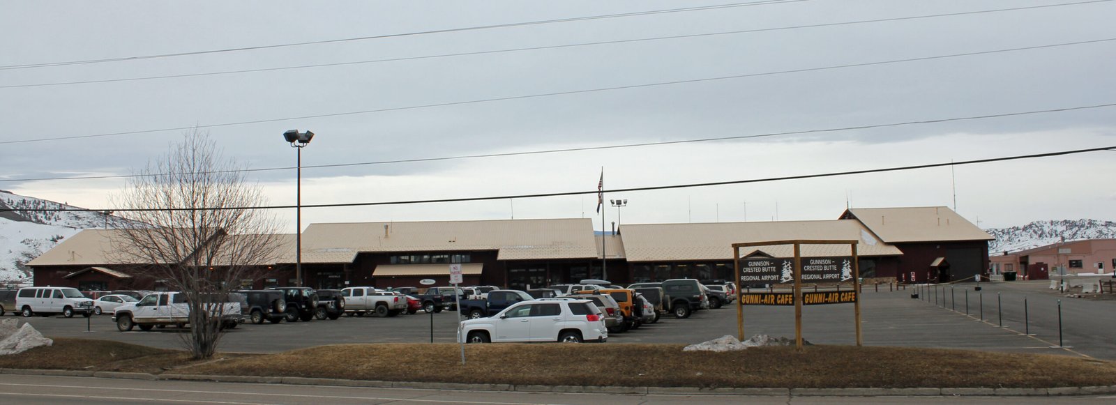
Gunnison-Crested Butte Regional Airport
From Gunnison-Crested Butte Regional Airport, follow CO 135 north through Almont.
Official airport informationDrive times
- Crested Butte
- about 40 to 50 minutes
- Winter weekends
- Allow extra time
The route follows CO 135 north through Almont. Snow and weekend traffic can extend the trip.
Ride share & taxi
Arrange a transfer from GUC to your lodging before arrival.
Confirm pickup location, ski storage and late-flight arrangements with the carrier.
Bus and shuttle
Reserved shuttle:Book a seat or private vehicle ahead for busy ski weekends.
Public bus:Check local bus routes for the final leg once you reach Crested Butte.
Nonstop flights
Year round: United serves Denver year-round.
Seasonal: Check winter service from Dallas/Fort Worth and Houston, and summer service from Houston.
Planning the drive
Arrival day Collect rental equipment and confirm your pickup point before leaving the terminal. Airport information
Mountain road approach: Follow CO 135 north through Almont. Check COtrip for closures and current road conditions. COtrip road conditions
Transfer planning: Reserve transfers ahead of holiday weekends and coordinate late arrivals with your lodging. Local visitor information
Verify services with the airport and operator when booking. Airport information · Local transportation
Photo credits
- GUC terminal before renovation, by Jeffrey Beall · CC BY 3.0. Resized for display.

Local maps and trip advice
Crested Butte Visitor Center
Stop in for trail maps, seasonal access updates and directions around Crested Butte.
Crested Butte Visitor Center
- Location
- 601 Elk Avenue
Crested Butte, CO 81224 - Published hours
- Check the Chamber’s seasonal desk hours.
Check holiday hours before making a special trip. - Visitor information
- 970-349-6438
Map and directions - Nearby
- The Chamber also staffs a visitor center at Mountaineer Square in Mt. Crested Butte, by the transit center at the ski base.
Visitor information checked November 20, 2026.
Plan the drive
Crested Butte map & driving directions
For year-round access, drive north from Gunnison on CO 135 through Almont. Kebler Pass is seasonal and has a winter closure.
The pin marks Crested Butte. Use a specific lot or trailhead for your final approach.
Drive times & directions
| From | Miles | Drive time | Route |
|---|---|---|---|
| DenverUS 285 and US 50 | ~230 | 4½–5½ hours | Get directions |
| Colorado SpringsUS 24, US 285 and US 50 | ~205 | 4–5 hours | Get directions |
| GunnisonCO 135 north | ~28 | 35–45 minutes | Get directions |
| Grand JunctionUS 50 through Montrose and Gunnison, then CO 135 | ~160 | 3–3½ hours | Get directions |
Approximate mileage and drive times depend on your starting point and route.COtrip
Check mountain road conditions before departure.For year-round access, drive north from Gunnison on CO 135 through Almont. Kebler Pass is seasonal and has a winter closure.COtrip road conditions
A few things to know
Crested Butte travel questions
Answers for a first visit to Crested Butte.
What is the best time to visit Crested Butte?
Choose winter for skiing at Crested Butte Mountain Resort or summer for Lower Loop and local festivals. Spring access depends on snowmelt.
How do I reach Crested Butte in winter?
For year-round access, drive north from Gunnison on CO 135 through Almont. Kebler Pass is seasonal and has a winter closure.
How do I get around downtown?
Walk the Elk Avenue blocks downtown. At the Four-way Stop, catch the Mountain Express Town Shuttle to Mountaineer Square at the ski area.
Can I visit Crested Butte without a car?
Start at 601 Elk Avenue for maps and local transit information. Arrange airport transportation in advance.
Where should beginner skiers start on Crested Butte Mountain?
Start at the transit center for rentals, lessons and access to the main lifts. The ski base is uphill from the historic town.
Can I bring my dog on Crested Butte trails?
Share the trail and keep dogs out of wetlands. Individual trails may have different rules.
Where can I park an RV near Crested Butte?
Oh Be Joyful is one option. A BLM campground with RV sites and walk-in tent sites. Verify the site length and reserve ahead.
Are Crested Butte buses and attractions accessible?
The visitor center at 601 Elk Avenue can help plan step-free access, parking and transit connections. Verify the specific route with the venue.