
Pitkin County · Roaring Fork Valley
Aspen, Colorado
Ski the four mountains, explore downtown, or follow a trail into the Elk Mountains. Find the stops, events and practical details for your Aspen trip.
Saved in this browser.


Photo credits
- Aspen Overview: Wolfgang Moroder · CC BY-SA 3.0 · Cropped for display.
- Aspen Hero Downtown: Ben & Whitney Carey · CC BY 2.0 · Cropped for display.
- Aspen Hero Galena: Daniel Case · CC BY-SA 3.0 · Cropped for display.
Choose your stops
Fun things to do in Aspen, Colorado
Ride the gondola, explore a ghost town, catch a show or head for the trails. Tap a name for details, then add individual stops to your travel list.
 Summer & fall
Maroon Bells
Maroon Lake frames the twin peaks. The route to Crater Lake adds a rocky, moderate hike of about four miles return.
Reserve seasonal parking or a shuttle from Aspen Highlands. Maroon Creek Road is closed for winter. The rocky Crater Lake hike depends on snow conditions; dogs are prohibited around the lake and campsites.
Reservations & road access · Hiking guide · Crater Lake guidance
Maroon Bells guide All year
John Denver Sanctuary
Engraved memorial boulders, perennial gardens and riverside paths fill this public park beside Rio Grande Park in downtown Aspen.
The public park is free and open dawn to dusk at 470 Rio Grande Place. Flowers usually begin in late May or early June; snow and ice affect winter paths.
Park information · Gardens & access
Sanctuary information All year
Wheeler Opera House
The theater at 320 East Hyman Avenue hosts concerts, comedy, films and stage productions. Tickets and start times vary by performance.
Check the calendar for performance dates, tickets and entrance details. The theater is at 320 East Hyman Avenue in downtown Aspen.
Aspen events All year
Aspen Art Museum
Contemporary art exhibitions occupy the museum at 637 East Hyman Avenue. Gallery admission is free, and exhibitions change throughout the year.
Current gallery hours are Tuesday–Sunday, 10 a.m.–6 p.m.; closed Mondays. Exhibitions and holiday hours follow the museum’s published schedule.
Museum exhibitions Summer & winter
Aspen Mountain
Silver Queen Gondola carries sightseers to the summit; winter lifts serve skiing and snowboarding on intermediate, advanced and expert terrain.
Aspen Mountain has no beginner ski trails. The published ski season runs November 26, 2026–April 18, 2027. Sightseeing tickets are separate; check the gondola schedule for summer and shoulder-season service.
Winter gondola tickets · Summer gondola tickets · Terrain & lessons · Ski season dates
Aspen mountain guide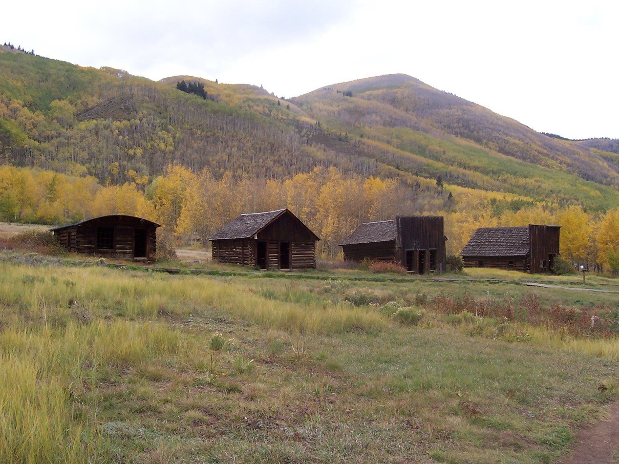 All year
Ashcroft Ghost Town
Restored mining-era buildings and interpretive signs mark this former Castle Creek Valley town. Winter outings also include nearby Nordic trails.
Self-guided exploration is available year-round, with docent hours in summer. Castle Creek Road’s winter closure begins at Ashcroft; winter parking is near mile 11. Snowshoes or skis may be needed beyond the parking area.
Townsite visits · Winter road access · Winter trail map · Nordic & snowshoe trips · Historic site information
Ashcroft Ghost Town guide Winter & spring
Buttermilk
Panda Peak and West Buttermilk provide beginner terrain. The mountain also has ski and snowboard lessons, groomed runs and terrain parks.
Skiing and snowboarding are scheduled December 12, 2026–April 4, 2027. Open lifts and terrain depend on snow conditions; check the mountain report and lesson availability before visiting.
Mountain report · Terrain & lessons · Season dates
Aspen winter guide Winter & spring
Aspen Highlands
Aspen Highlands has intermediate, advanced and expert terrain. Highland Bowl adds hike-accessed expert skiing when that terrain is open.
The published 2026–27 ski season is December 12–April 11, subject to conditions. Highlands has no beginner runs; individual lifts and terrain can operate on shorter schedules.
Mountain report · Terrain & lessons · Season dates
Aspen winter guide Winter & spring
Snowmass
Snowmass includes dedicated beginner and lesson areas at Assay Hill and Elk Camp Meadows, alongside intermediate, advanced and expert ski terrain.
Skiing and snowboarding are scheduled November 26, 2026–April 11, 2027. Check open terrain and lesson availability. Snowmass also runs a separate summer recreation program.
Terrain & lessons · Season dates
Aspen winter guide Summer & fall
Hunter Creek Trail
The city-listed trail parallels Hunter Creek, crosses bridges and climbs more than 700 feet in its first mile on dirt and gravel.
The city lists a 1.5-mile, moderate trail segment, with a longer network beyond it. Snow, ice and mud change hiking conditions outside the main dry-trail season.
Aspen hiking & biking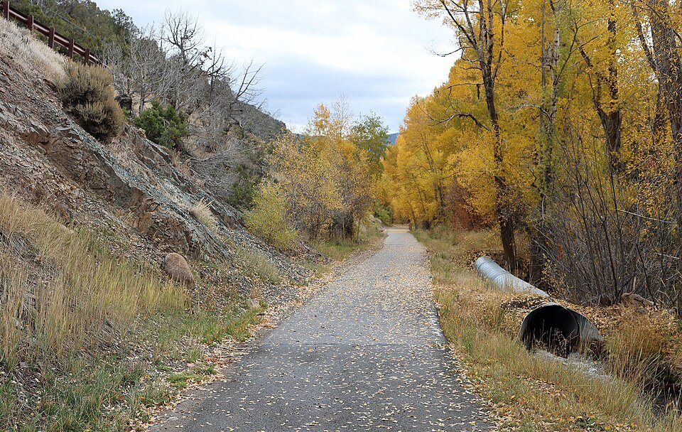 All year
Rio Grande Trail
The Aspen segment follows the Roaring Fork corridor, with walking and cycling on bare pavement and Nordic uses when winter snow allows.
The downtown–Henry Stein segment is 2.3 miles each way; winter uses include skiing, snowshoeing, walking and fat biking. A separate downstream section between Rock Bottom Ranch and Catherine Bridge closes November 30–April 30 for wildlife.
Trail information · Winter activities · Winter closures · Aspen route map
Aspen hiking & biking Spring & summer
Roaring Fork River rafting
Guided trips include Class II Middle Roaring Fork floats and Class III Upper Roaring Fork whitewater, with routes depending on flows.
Upper Fork trips typically run from mid-May through July; Middle Fork trips usually run May through August. Check available departures, meeting points and age requirements with the outfitter; routes change with river flows.
Middle Fork trips · Upper Fork trips · Rafting conditions
Aspen river guideYour selections are saved in this browser.
Photo credits
- Crater Lake: Whyleesaa · CC BY-SA 4.0 · Cropped for display.
- John Denver Sanctuary: Whoisjohngalt · CC BY-SA 4.0 · Cropped for display.
- Wheeler: Wolfgang Moroder · CC BY-SA 3.0 · Cropped for display.
- Art Museum: Bkthomson16 · CC BY-SA 4.0 · Cropped for display.
- Gondola: Wolfgang Moroder · CC BY-SA 3.0 · Cropped for display.
- Ashcroft Exterior: John Holm · CC BY 2.0 · Cropped for display.
- Buttermilk: Werdna · CC BY-SA 4.0 · Cropped for display.
- Highlands: Wolfgang Moroder · CC BY-SA 3.0 · Cropped for display.
- Snowmass Skiing: Wolfgang Moroder · CC BY-SA 3.0 · Cropped for display.
- Aspen Autumn: Jeffrey Beall · CC BY 4.0 · Cropped for display.
- Rio Grande Trail: Jeffrey Beall · CC BY 4.0 · Cropped for display.
- Roaring Fork: Reesed1999 · CC BY-SA 4.0 · Cropped for display.
Add something to your trip
Upcoming events in Aspen
Browse events happening over the next 30 days, add one to your travel list, or open the calendar for more dates. Times are local to Aspen.
Major Aspen events & festivals in 2027
Highlights from the Aspen calendar. Check the organizer’s listing for current dates and tickets.
 Jan 29 – Jan 31, 2027X Games Aspen
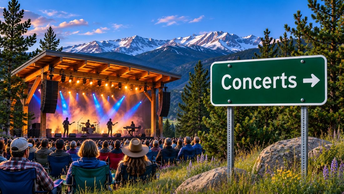 Feb 19 – Feb 20, 2027Palm Tree Music Festival Aspen
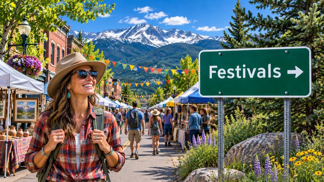 Mar 10 – Mar 14, 2027Aspen Laugh FestivalApr 6 – Apr 10, 2027Aspen Shortsfest
 Jun 18 – Jun 20, 2027FOOD & WINE Classic in AspenJun 24 – Jun 27, 2027JAS June ExperienceJun 25 – Jul 1, 2027Aspen Ideas FestivalJun 30 – Aug 22, 2027Aspen Music Festival summer seasonSep 3 – Sep 5, 2027JAS Labor Day ExperienceSep 24 – Sep 26, 2027Aspen Literary Festival
 Sep 25, 2027Golden Leaf Half MarathonSep 28 – Oct 3, 2027Aspen Filmfest
View the events calendar
November 2026
Scroll across to see every day of the week.
Use the chevron to see more events for that day.
More annual dates to come
Full schedules for these events are still to be confirmed. Follow the organizer for new dates and program announcements.
Up in the Sky Music FestivalAspen RuggerfestAspen ArtWeek and ArtCrushAspen Saturday MarketFourth of July community programmingMotherLode Volleyball ClassicElk Mountains Grand TraverseTheatre Aspen summer seasonWintersköl 2027Summit for Life 2027Audi Ajax Cup 2027Aspen Music Festival individual summer concerts
Aspen Summer Words will not take place in 2027.
Announced dates checked November 19, 2026. Browse through December 2027; more dates are added as organizers announce them. Programs and admission can change. Aspen Chamber calendar
Photo credits
- Event Foy Vance: Harald Krichel · CC BY-SA 3.0 · Cropped for display.
- Event Bonobo: Krists Luhaers · CC BY 2.0 · Cropped for display.
Four mountains. One winter trip.
Ski & snowboard Aspen, Colorado
Compare the four mountains and their scheduled 2026/27 seasons. Each mountain has its own base area and terrain.
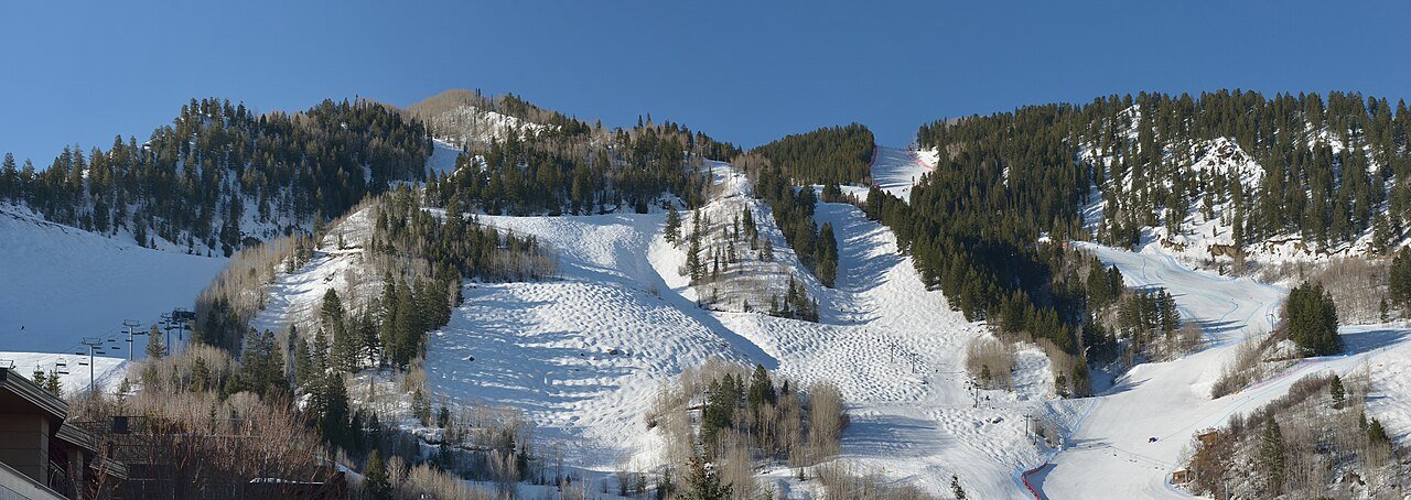
Aspen Mountain
Intermediate & advanced terrain
- Scheduled opening
- Scheduled closing
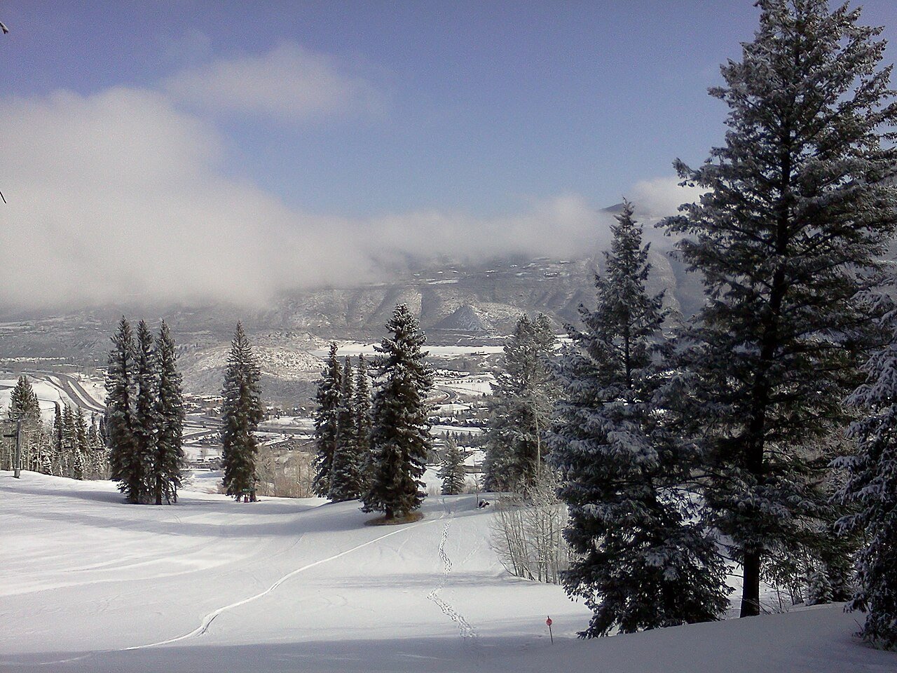
Buttermilk
Learning areas & terrain parks
- Scheduled opening
- Scheduled closing
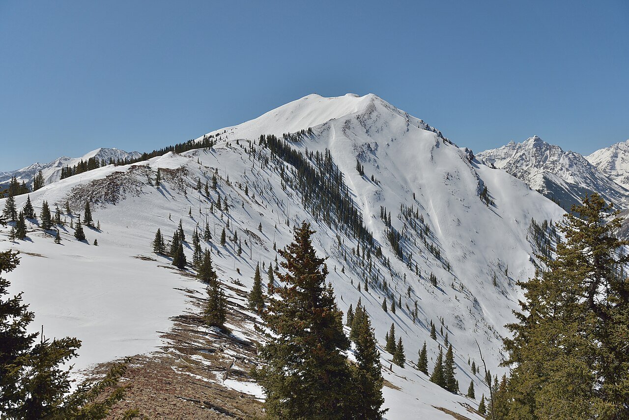
Aspen Highlands
Steep terrain & Highland Bowl
- Scheduled opening
- Scheduled closing
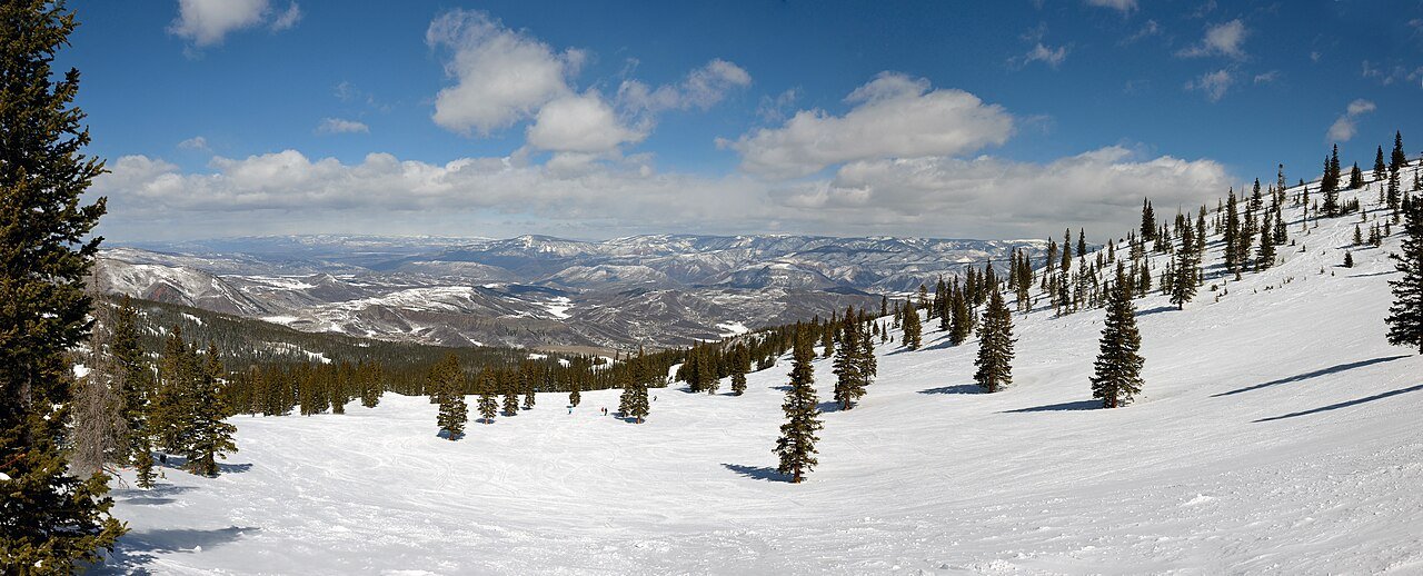
Dates checked November 18, 2026 against Aspen Snowmass. Scheduled dates are subject to snow conditions and operational changes.
Photo credits
- Ski Aspen Mountain: Wolfgang Moroder · CC BY-SA 3.0 · Cropped for display.
- Ski Buttermilk: Viktor Lapinskii · CC BY-SA 3.0 · Cropped for display.
- Ski Highlands: Wolfgang Moroder · CC BY-SA 3.0 · Cropped for display.
- Ski Snowmass: Wolfgang Moroder · CC BY-SA 3.0 · Cropped for display.
Take a look around
Explore downtown Aspen
Scroll through a few downtown views.


Photo credits
- Main Street: Daniel Case · CC BY-SA 3.0 · Cropped for display.
- Hotel Jerome: Daniel Case · CC BY-SA 3.0 · Cropped for display.
- Aspen Armory: Daniel Case · CC BY-SA 3.0 · Cropped for display.
Keep exploring
More fun things to do around Aspen
Add an outing within about 45 miles by road, from Snowmass Village to the hot springs in Glenwood Springs. Check the route and seasonal access before leaving.
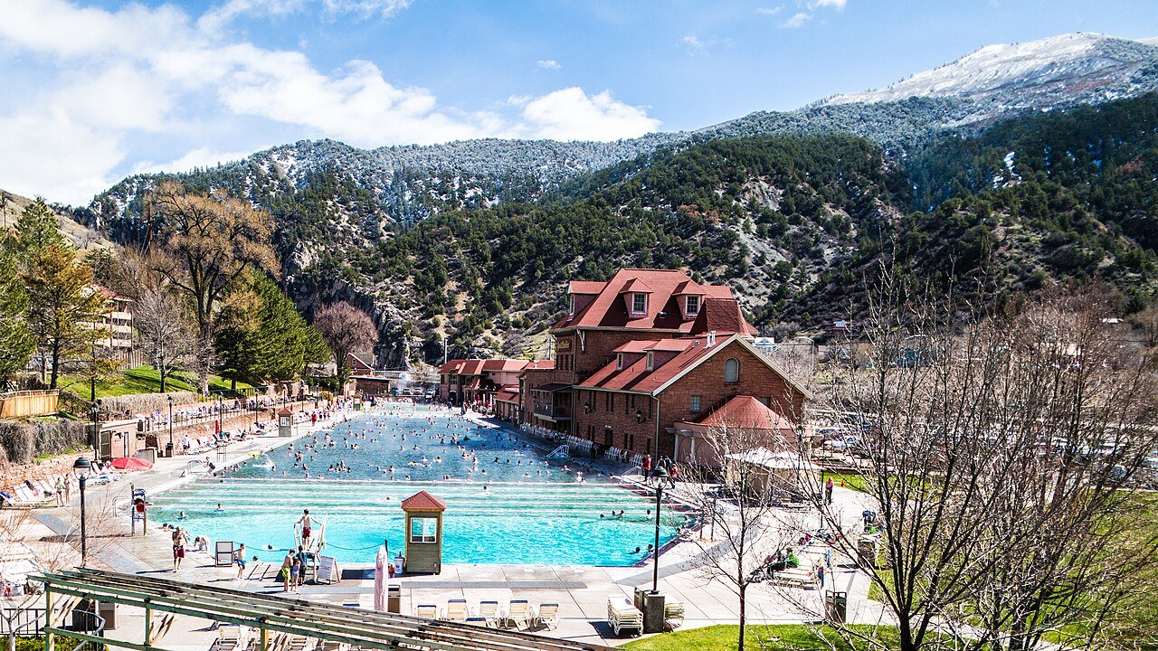 About 42 road miles to Glenwood
Glenwood Springs & hot springs
Visit the Glenwood Hot Springs Pool for a mineral-water soak. The pools operate year-round with scheduled maintenance closures.
Plan a hot springs visit About 9 miles from Aspen
Snowmass Village
Explore a separate resort village with winter skiing, summer trails, the alpine coaster and seasonal events.
Explore Snowmass Village Castle Creek Valley
Ashcroft Ghost Town
Follow Castle Creek Road about 11 miles from the west-Aspen roundabout to the former silver camp. Winter visits require snow-access planning.
Open the Ashcroft guide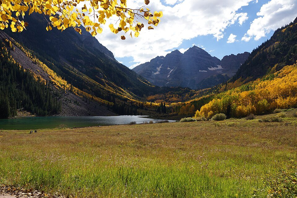 Outside Aspen · seasonal road access
Maroon Bells
Visit the lake and scenic area or continue onto a trail. Normal vehicle and shuttle access is seasonal; choose the required reservation.
Open the Maroon Bells guidePhoto credits
- Glenwood Hot Springs: Jason Cipriani · CC BY 2.0 · Cropped for display.
- Snowmass: Werdna · CC BY-SA 4.0 · Cropped for display.
- Ashcroft: Lorie Shaull · CC BY-SA 2.0 · Cropped for display.
- Maroon Lake: Calderon Francisco · CC BY-SA 4.0 · Cropped for display.
Silver, skiing and culture
History of Aspen
From a silver-mining town to a place for skiing, music and the arts.

1879 to 1893A silver town builds a stage
The Roaring Fork Valley was Ute homeland long before prospectors arrived in 1879. Silver drew miners into the surrounding hills and merchants to the streets below. By April 1889, performers could play an electrically lit stage at the Wheeler Opera House. The theater occupied the upper part of the building, above the shops and activity at street level. Its elaborate façade still reflects the confidence of the mining years.
1893 to 1947From mining to the mountain
The repeal of the Sherman Silver Purchase Act in 1893 hit Aspen’s economy hard. Population and mining activity declined, and the town entered quieter decades. Interest in skiing eventually brought another purpose to the slopes. Elizabeth Paepcke first visited Aspen for a skiing trip in 1939; Friedl Pfeifer opened the Aspen Ski School in 1945. The dedication of Lift 1 in 1947 made the mountain central to a new visitor economy.
1949 onwardMusic and ideas join the snow
In 1949, Elizabeth and Walter Paepcke helped bring musicians and scholars to Aspen for a celebration of Goethe’s 200th birthday. The gathering helped establish the town’s lasting connection to music, ideas and the arts. Aspen hosted the alpine world ski championships in 1950, the first held outside Europe. Today, the combination is still visible: Victorian buildings remain part of downtown life, and an afternoon on the mountain can lead to an evening performance a few streets away.
Planning sources: Aspen Historical Society · Wheeler history · The Aspen Institute
Photo credits
- Aspen History: Detroit Photographic Co. / Detroit Publishing Co.; restoration by trialsanderrors · Public domain · Cropped for display.
Flying in
Eagle Airport to Aspen & Snowmass
Plan your flight into Eagle and the mountain transfer that follows.
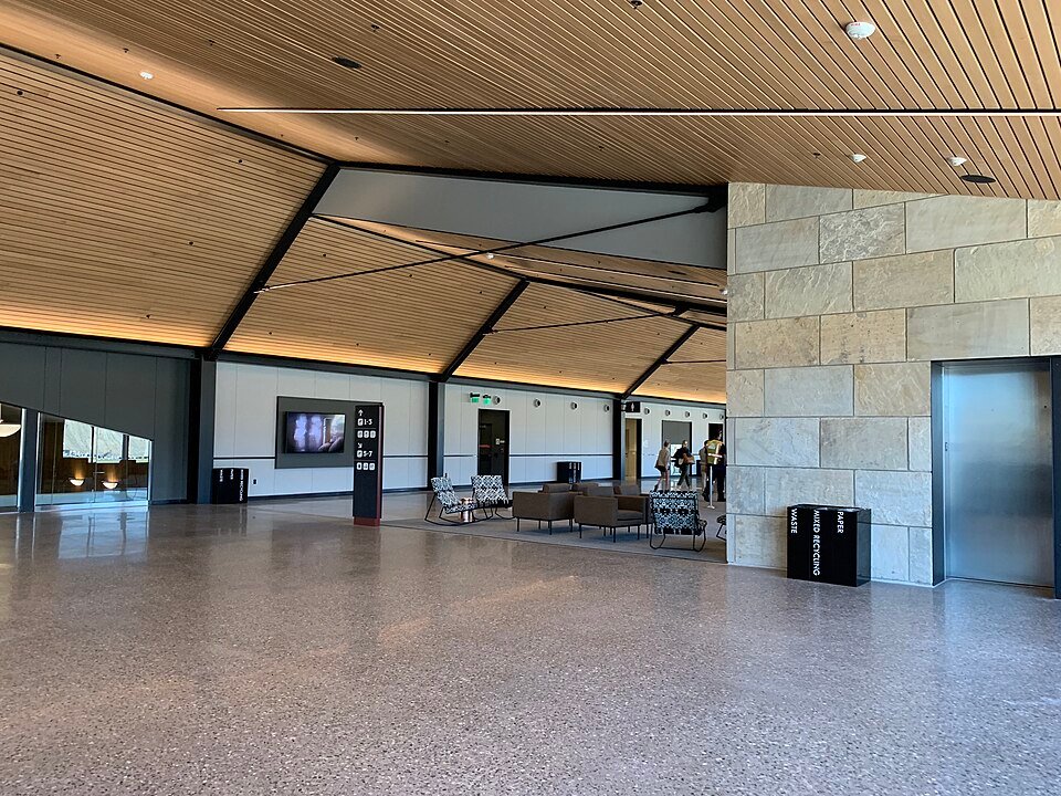
Eagle County Regional Airport
Fly into the Eagle Valley, then travel west through Glenwood Canyon and south along the Roaring Fork Valley to reach Aspen or Snowmass.
Official airport informationDrive times
- Downtown Aspen
- About 1 hr 30 min
- Snowmass Village
- About 1 hr 15–30 min
Plan on roughly 70 miles to Aspen or 65 miles to Snowmass via I-70 and CO 82. These are normal-condition estimates; snow and traffic can add time.
Ride share & taxi
Uber and Lyft support pickups at EGE. Check the app for the meeting point, price and available drivers.
A longer Aspen or Snowmass trip depends on driver availability and acceptance. For a fixed arrival plan, arrange a taxi or private transfer ahead of time and confirm service to Aspen or Snowmass.
Bus and shuttle
Reserved shuttle: Roaring Fork Express offers shared transfers between Eagle Airport and the Aspen/Snowmass area. Confirm your pickup and destination when booking.
Public bus: Connect with Core Transit toward Eagle, Bustang West Line to West Glenwood, then RFTA toward Aspen/Snowmass. Fares and transfer waits apply; check each schedule.
Nonstop flights
Year round: United from Denver (DEN) and American from Dallas/Fort Worth (DFW).
Seasonal: Additional routes include Atlanta, Chicago, Los Angeles, New York, Seattle and San Diego. Airlines, operating days and seasonal dates vary.
Other confirmed nonstop flight options
Denver connections: Denver (DEN) has nonstop service to Eagle (EGE) and a separate nonstop route to Aspen (ASE). Check Denver's nonstop destinations.
Flying directly into Aspen: The published Aspen schedule includes nonstop flights from Dallas/Fort Worth, Atlanta and Los Angeles, plus Denver and additional seasonal cities. Check the current Aspen flight schedule for your dates.
Planning for 2027: Aspen Airport is scheduled to close for runway work from April 4 at 11 p.m. through November 19 at 7 p.m. Airport closure updates.
Airport and transport information checked November 18, 2026. Driving estimates: Aspen Chamber and Snowmass Tourism. Use the linked operators for current schedules, fares and availability.
Photo credit
- Eagle County Regional Airport terminal: Futerfas, 2019. CC BY-SA 4.0. Resized and cropped for display.