
Roaring Fork Valley
Hiking & Biking Around Aspen: Choose the Right Route
Aspen has useful outdoor routes close to town as well as serious high-country objectives. Start by deciding whether you want a riverside outing, a sustained climb or a reserved scenic-area visit. The route names in older travel lists often hide different starting points and distances, so check the official map for the exact outing you intend to do.
Saved in this browser. View your list in the Visitor Center.
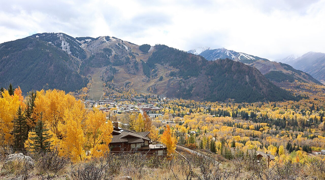
Photo: Jeffrey Beall · CC BY 4.0. Image resized for web display.

Start with the river corridor
The Rio Grande Trail is the most flexible starting point for a relaxed walk or ride. It follows the valley between Aspen and Glenwood Springs, but a visitor can choose a short section and turn around whenever the group has had enough. The county describes a 42-mile corridor; that full distance is not a casual afternoon suggestion.
For an out-and-back ride, remember that a pleasant downhill outward leg still has to be reversed unless you have arranged transport. Confirm the surface and permitted bicycle type on your selected section. Pedestrians, riders and other trail users share the corridor, so slow down near busy access points and keep stops clear of the moving path.
Official planning information · Additional official guidance
Climb close to Aspen
Smuggler Mountain provides a more demanding option near town, with an observation platform looking across Aspen. The road’s climbing character makes it a better fit for someone wanting exercise than for a person seeking a flat scenic stroll. Hunter Creek and other connected routes can lengthen an outing, but use the city or county map before making a loop.
For mountain bikers, the local network includes routes around Smuggler and connections farther into the valley. Choose a ride from the current official trail information rather than improvising from a viewpoint. Junctions, climbing effort and the return route matter more than a single mileage number copied from a broad destination list.
Official planning information · Additional official guidance · Additional official guidance
Treat Maroon Bells as a separate plan
A lakeside visit at the Maroon Bells and a hike toward Crater Lake require different time and effort, even though they begin in the same scenic area. Arrange the required shuttle or parking access first, then choose the trail. Do not let a late reservation pressure you into rushing a route or missing the final transport.
Longer wilderness itineraries bring further obligations. Overnight travel in popular parts of the Maroon Bells-Snowmass Wilderness can require advance permits, and wilderness routes are not mountain-bike trails. If the goal is simply the classic mountain view, a shorter visit may be the better choice. Save the long hike for a day when the whole party is prepared.
Official planning information · Additional official guidance
Make weather and access part of the route
Use lower paths for a first day or an uncertain forecast, and reserve an early start for higher objectives. Independence Pass routes require an open road and appropriate conditions at elevation; access can change even when downtown is dry. Keep one shorter route in mind so a storm or access problem does not force an all-or-nothing decision.
Before leaving, confirm the trailhead, return transport, current restrictions and whether the route is legal for your activity. Download the official map while connected. A destination map pin identifies the Aspen area, not a trail entrance, and should never replace route instructions. For visitors with mobility needs, choose a documented accessible segment and verify today’s surface rather than treating the full named trail as uniform.
Official planning information · Additional official guidance · Additional official guidance
Keep planning
More ways to explore
Skiing & winter recreation
Plan winter outings around Aspen, with activity choices, seasonal access and practical resources.
Read the guideRafting & fishing
Plan rafting and fishing near Aspen, with river choices, seasonal access and current planning resources.
Read the guideWildlife & fall photography
Find wildlife and landscape photography ideas around Aspen, with seasonal planning and responsible viewing advice.
Read the guideYour Open Road Bucket List
Save a place. Plan the trip.
0 saved stops in this browser.
Sources, photo credits and map details
Planning information checked November 14, 2026. Follow the linked operators and land managers for changes.
- Accessible trails near Aspen
- Aspen Chamber Maroon Bells planning
- Maroon Bells access and permits
- Aspen Chamber mountain biking
- Aspen Chamber hiking trails
- Pitkin County Rio Grande Trail
- Pitkin County Smuggler Mountain
- City of Aspen trail directory
- CDOT Independence Pass travel information
- www.fs.usda.gov
- www.fs.usda.gov
- www.fs.usda.gov
- www.wikidata.org
- www.wikidata.org
- 2025 Census Gazetteer Colorado places, internal representative points
Photo credits
- Photo: Jeffrey Beall · CC BY 4.0. Image resized for web display.
The destination map pin represents the town area. It is not a trailhead, parking entrance or route instruction. Specific attraction points are recorded only when a source can be verified. Use the official access information before setting out. OpenStreetMap-derived attraction points, where used, are credited to OpenStreetMap contributors under the ODbL.