
Southwest Colorado
Winter Recreation Around Durango
Durango makes winter planning easier when you separate town time from mountain days. A train excursion, a lift-served ski day and a Nordic outing each offer a different pace. Choose one as the anchor and leave room for the weather to change the details.
Saved in this browser. View your list in the Visitor Center.
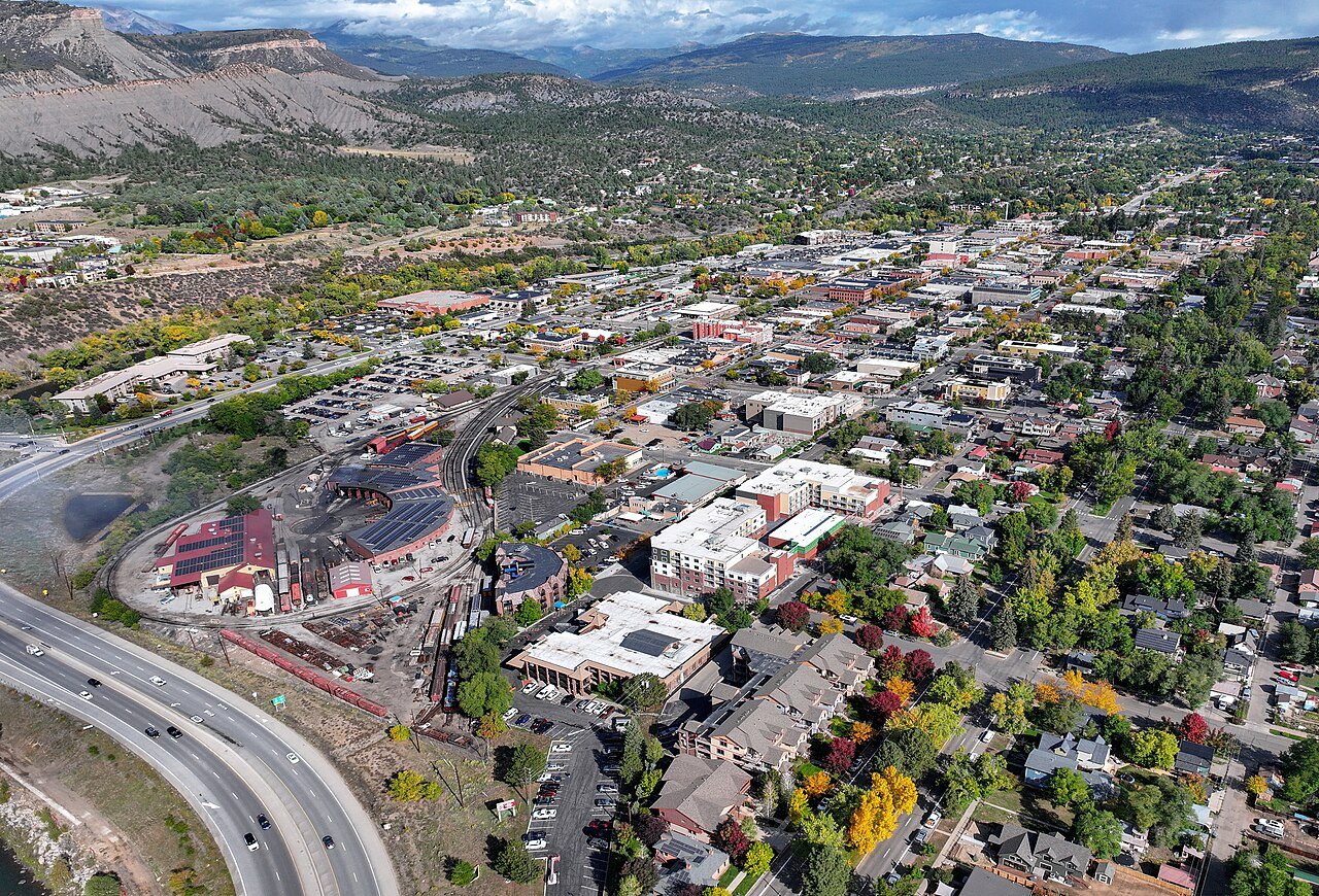
Photo: Quintin Soloviev · CC BY 4.0. Image resized for web display.

Build a ski day around Purgatory
Purgatory is a mountain excursion north of Durango, with its own snow, lift and lesson conditions. Plan the transport and equipment before filling the rest of the day. Adaptive Sports Association operates winter programs at the resort, including options using specialized equipment. Contact the program about the participant's actual needs and available instruction in advance. A general statement that adaptive skiing exists is not a reservation, and the correct setup is more useful than choosing a date without checking support.
Official planning information · Additional official guidance
Choose Nordic skiing or snowshoeing deliberately
Durango Nordic Center is another option near the resort area, with managed trails for cross-country skiing and snowshoeing. These activities should not be treated as interchangeable: a person new to narrow skis may enjoy a shorter lesson or a snowshoe route more than a long loop. Check the current grooming and permitted-use information, and follow the center's advice for your equipment. Build in time to stop and enjoy the mountain setting rather than measuring the day only in distance covered.
Use the winter train for a different view
The railroad's Cascade Canyon winter excursion is a substantial round trip from Durango in heated coaches. It is not a winter promise of the same Silverton itinerary used in another season. Check the actual departure and available service when booking. If a wheelchair-accessible coach is needed, request it directly and in advance; the railroad states that availability is limited. Keep the rest of the day light enough that you can enjoy the excursion without watching the clock for a second reservation.
Official planning information · Additional official guidance
Respect the winter trail pattern around town
Some local trail connections close to protect winter wildlife, including upper Twin Buttes and BLM Grandview Ridge. Check the city's current closure map before a walk, run or ride. Dry ground at one access point does not override a posted closure farther along the route. Lake Nighthorse also has a winter closure rather than year-round public recreation. Choose an open river-trail section or another town activity as a flexible alternative, and keep road conditions in mind for any mountain return drive.
Official planning information · Additional official guidance
Keep planning
More ways to explore
Hiking & biking
Explore hiking and biking around Durango, with route choices, access details and official trail resources.
Read the guideRafting & fishing
Plan rafting and fishing near Durango, with river choices, seasonal access and current planning resources.
Read the guideWildlife & fall photography
Find wildlife and landscape photography ideas around Durango, with seasonal planning and responsible viewing advice.
Read the guideYour Open Road Bucket List
Save a place. Plan the trip.
0 saved stops in this browser.
Sources, photo credits and map details
Planning information checked November 14, 2026. Follow the linked operators and land managers for changes.
- Durango & Silverton Railroad: Accessible coach
- Durango & Silverton Railroad: Cascade Canyon winter train
- Visit Durango: Winter planning
- City of Durango: Lake Nighthorse
- City of Durango trails
- www.openstreetmap.org
- www.openstreetmap.org
- Purgatory: Durango Nordic Center
- Purgatory: Adaptive Sports Association
- www.wikidata.org
- www.wikidata.org
- 2025 Census Gazetteer: Colorado places
Photo credits
- Photo: Quintin Soloviev · CC BY 4.0. Image resized for web display.
The destination map pin represents the town area. It is not a trailhead, parking entrance or route instruction. Specific attraction points are recorded only when a source can be verified. Use the official access information before setting out. OpenStreetMap-derived attraction points, where used, are credited to OpenStreetMap contributors under the ODbL.