
Southwest Colorado
Fishing & Rafting Around Durango
Durango's Animas River puts water recreation close to town, while Lake Nighthorse adds a different seasonal option. Choose the activity and precise access first. A river walk, a fishing session and a guided rafting trip require different equipment and different amounts of the day.
Saved in this browser. View your list in the Visitor Center.
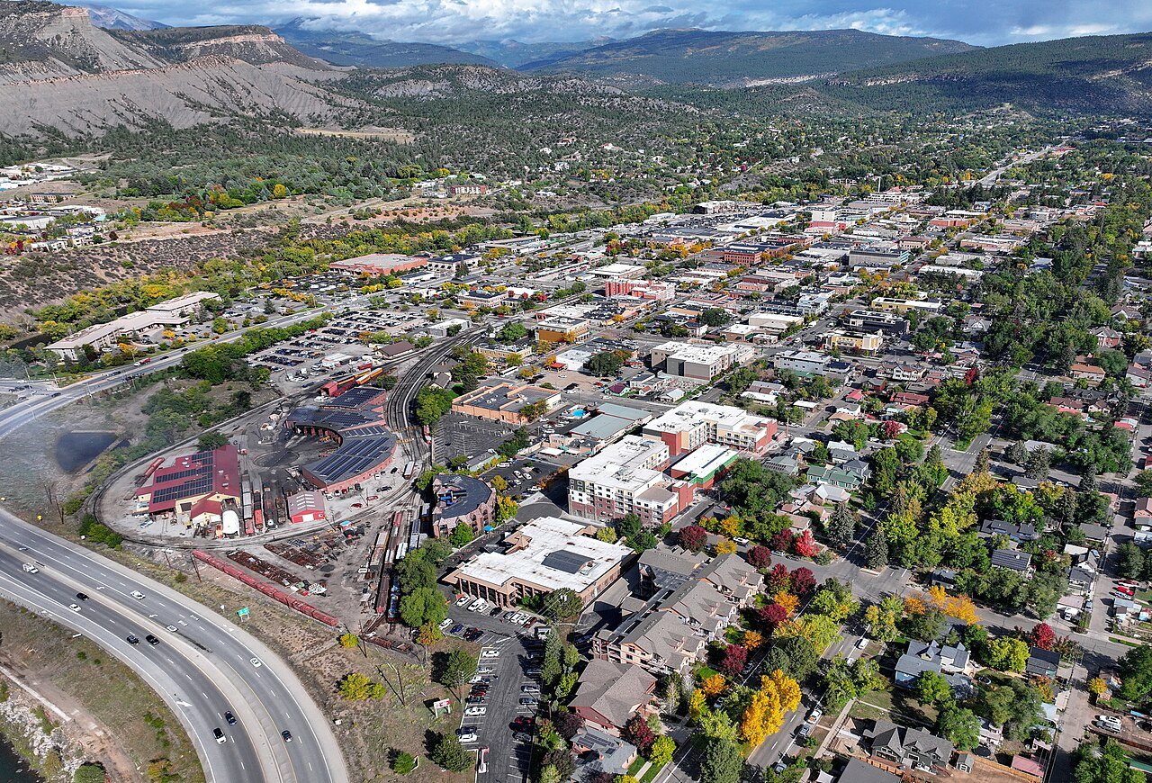
Photo: Quintin Soloviev · CC BY 4.0. Image resized for web display.

Choose the Animas reach with the operator
The Animas includes very different types of moving water. An in-town guided trip should not be confused with a technical excursion elsewhere on the river. Ask the outfitter about current flows, the route, participant requirements and the time needed from check-in to return. Be clear about experience and access needs before booking. The river can be watched easily from developed public areas, but that visibility does not make an unguided launch appropriate for someone unfamiliar with the water.
Fish from confirmed public access
The Animas River Trail helps connect visitors with established fishing access through town. Select a legal place to reach the water and leave shared paths clear of rods and gear. The trail resources identify accessible fishing piers at Riverfront Park and 29th Street Park. Confirm current conditions at the intended location and read the applicable fishing rules. A fishing guide can be useful for learning the water, but do not assume a guide booking includes every license, transfer or item of equipment.
Official planning information · Additional official guidance
Check Lake Nighthorse’s operating season
Lake Nighthorse offers a developed recreation area, including an accessible fishing dock near the boat ramp. It also has a defined operating season, launch rules and inspection requirements. The city's 2026 calendar begins its winter wildlife closure on November 16. Check the next opening and any road work before bringing a boat or planning a lake-based day. Distinguish a day-use entrance reservation or pass from any separate rental arrangement, and allow time for the procedures required at the launch.
Build a complete water-day plan
Obtain the appropriate Colorado fishing license and consult water-specific regulations before fishing. For rafting or boating, follow the operator's equipment and clothing advice, and keep a dry change for the return. Arrange the pickup or shuttle before setting off rather than assuming the riverbank has an easy walking connection back to the car. Leave time after the outing to clean and dry equipment before using another waterbody. A single well-planned session will usually be more satisfying than trying to combine river and reservoir activities back to back.
Official planning information · Additional official guidance
Keep planning
More ways to explore
Skiing & winter recreation
Plan winter outings around Durango, with activity choices, seasonal access and practical resources.
Read the guideHiking & biking
Explore hiking and biking around Durango, with route choices, access details and official trail resources.
Read the guideWildlife & fall photography
Find wildlife and landscape photography ideas around Durango, with seasonal planning and responsible viewing advice.
Read the guideYour Open Road Bucket List
Save a place. Plan the trip.
0 saved stops in this browser.
Sources, photo credits and map details
Planning information checked November 14, 2026. Follow the linked operators and land managers for changes.
- Colorado Parks and Wildlife fishing licenses
- Visit Durango: Animas River
- Visit Durango: Animas River Trail
- Visit Durango: Fishing
- City of Durango: Lake Nighthorse
- www.openstreetmap.org
- www.openstreetmap.org
- www.wikidata.org
- www.wikidata.org
- 2025 Census Gazetteer: Colorado places
Photo credits
- Photo: Quintin Soloviev · CC BY 4.0. Image resized for web display.
The destination map pin represents the town area. It is not a trailhead, parking entrance or route instruction. Specific attraction points are recorded only when a source can be verified. Use the official access information before setting out. OpenStreetMap-derived attraction points, where used, are credited to OpenStreetMap contributors under the ODbL.