
Southwest Colorado
Hiking & Biking Around Durango
Durango offers a useful progression from a paved river outing to connected mountain-bike and hiking networks. Start with the route that matches the group rather than the one with the most impressive name. Public access, permitted uses and seasonal closures are part of the choice.
Saved in this browser. View your list in the Visitor Center.
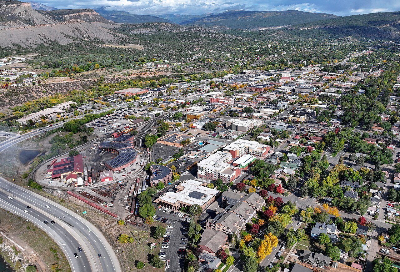
Photo: Quintin Soloviev · CC BY 4.0. Image resized for web display.

Use the Animas River Trail for an easy introduction
The paved shared-use corridor makes it possible to explore the river through town without first driving to the mountains. Choose a section and a clear turnaround, with time for public art and river views along the way. Keep a moderate speed around walkers and other cyclists, and leave the main path clear when stopping. The trail's connections to parks can help create a shorter outing for part of the group without requiring everyone to cover the same distance.
Move to a mapped network when you want more
Horse Gulch and the other city-area systems provide routes with a different level of effort and skill. Use the current trail map to choose a specific loop or out-and-back rather than entering a network with no return plan. If the group includes mixed riding abilities, make the choice around the least experienced rider. A familiar-looking opening section does not describe the difficulty of every connected trail. Keep enough energy in reserve to return comfortably without taking a shortcut through closed or unsigned terrain.
Read seasonal closures before following connections
City trails can connect to land managed by another agency. Durango's map distinguishes the Horse Gulch routes that remain open from the BLM Grandview Ridge area that closes in winter; upper Twin Buttes also has a seasonal closure. Follow the posted limits even when there is little snow. The reason may be wildlife habitat, not trail surface. Before setting off, identify the actual open loop and avoid relying on a saved ride that crosses a boundary without showing current restrictions.
Plan access as part of the outing
The river-trail resources identify developed restrooms, picnic areas and accessible facilities at particular parks. Choose a starting point that meets the group's needs, not just the closest dot on a map. For longer outings, carry a usable map and leave the destination and expected return time with someone. If weather or trail conditions change, a shorter river outing is still a worthwhile day. Durango's variety works best when it gives you alternatives rather than pressure to ride or hike everything in one visit.
Keep planning
More ways to explore
Skiing & winter recreation
Plan winter outings around Durango, with activity choices, seasonal access and practical resources.
Read the guideRafting & fishing
Plan rafting and fishing near Durango, with river choices, seasonal access and current planning resources.
Read the guideWildlife & fall photography
Find wildlife and landscape photography ideas around Durango, with seasonal planning and responsible viewing advice.
Read the guideYour Open Road Bucket List
Save a place. Plan the trip.
0 saved stops in this browser.
Sources, photo credits and map details
Planning information checked November 14, 2026. Follow the linked operators and land managers for changes.
- Visit Durango: Animas River Trail
- City of Durango trails
- www.openstreetmap.org
- www.openstreetmap.org
- www.wikidata.org
- www.wikidata.org
- 2025 Census Gazetteer: Colorado places
Photo credits
- Photo: Quintin Soloviev · CC BY 4.0. Image resized for web display.
The destination map pin represents the town area. It is not a trailhead, parking entrance or route instruction. Specific attraction points are recorded only when a source can be verified. Use the official access information before setting out. OpenStreetMap-derived attraction points, where used, are credited to OpenStreetMap contributors under the ODbL.