
Southwest Colorado
Wildlife & Fall Photography Around Durango
Durango offers river habitat, cottonwood scenes and mountain country within the same trip. Choose the setting that fits the day's conditions and give yourself time to watch. A wildlife outing works better as patient observation than as a search for a promised animal.
Saved in this browser. View your list in the Visitor Center.
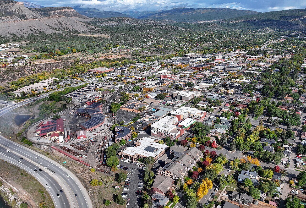
Photo: Quintin Soloviev · CC BY 4.0. Image resized for web display.

Begin beside the Animas
The river corridor gives you a manageable way to look for birds and changing light without committing to a distant drive. Choose a quiet section of the established trail, stop where you can observe water and vegetation, and keep the path open to others. Use a longer lens or binoculars rather than stepping down an informal bank route. The river itself, reflections and a tree line can make a complete photographic subject even when no wildlife appears.
Official planning information · Additional official guidance
Consider Oxbow’s river habitat
Visit Durango identifies Oxbow Park and Preserve as a birding location along the northern river corridor. Use the currently open public areas and distinguish recreation access from habitat that may be restricted. A small, quiet group is easier to manage than a moving crowd. Keep dogs and other distractions under control where they are permitted, and avoid placing equipment where it blocks a shared route. Watch how an animal responds and increase distance if your presence changes its behavior.
Make a separate plan for mountain color
La Plata Canyon and the country north of Durango offer a different autumn setting from the river through town. Road type and access matter more than how close a scene appears on a map. Choose a public route suitable for the vehicle and the day's weather, and do not drive farther simply because the next bend might have stronger color. Leave the old mining landscape and vegetation undisturbed. A wider view of changing slopes can tell more of the place's story than a single isolated tree.
Keep seasonal habitat protection in the itinerary
Durango's winter trail closures apply even on a photogenic clear day. Upper Twin Buttes, Grandview Ridge and other managed areas need a current map check before you decide where to walk. Lake Nighthorse also closes for winter wildlife. If the desired area is unavailable, choose an open river corridor or a town-focused photo walk. Respecting that boundary is part of documenting the destination accurately: an empty trail beyond a closed gate is not an invitation to create a new viewpoint.
Official planning information · Additional official guidance
Keep planning
More ways to explore
Skiing & winter recreation
Plan winter outings around Durango, with activity choices, seasonal access and practical resources.
Read the guideHiking & biking
Explore hiking and biking around Durango, with route choices, access details and official trail resources.
Read the guideRafting & fishing
Plan rafting and fishing near Durango, with river choices, seasonal access and current planning resources.
Read the guideYour Open Road Bucket List
Save a place. Plan the trip.
0 saved stops in this browser.
Sources, photo credits and map details
Planning information checked November 14, 2026. Follow the linked operators and land managers for changes.
- Visit Durango: Animas River Trail
- Visit Durango: Birding and wildlife
- City of Durango: Lake Nighthorse
- City of Durango trails
- www.openstreetmap.org
- www.openstreetmap.org
- www.wikidata.org
- www.wikidata.org
- 2025 Census Gazetteer: Colorado places
Photo credits
- Photo: Quintin Soloviev · CC BY 4.0. Image resized for web display.
The destination map pin represents the town area. It is not a trailhead, parking entrance or route instruction. Specific attraction points are recorded only when a source can be verified. Use the official access information before setting out. OpenStreetMap-derived attraction points, where used, are credited to OpenStreetMap contributors under the ODbL.