
Gore Creek Valley
Hiking & Biking Around Vail
Vail’s outdoor routes range from village paths to demanding climbs into the Gore Range. Choose the type of day first. A creekside ride, a lift-assisted walk and a hike toward an alpine lake have different transport, effort and weather requirements. Use the town’s current trail information to turn a broad destination idea into a specific route.
Saved in this browser. View your list in the Visitor Center.
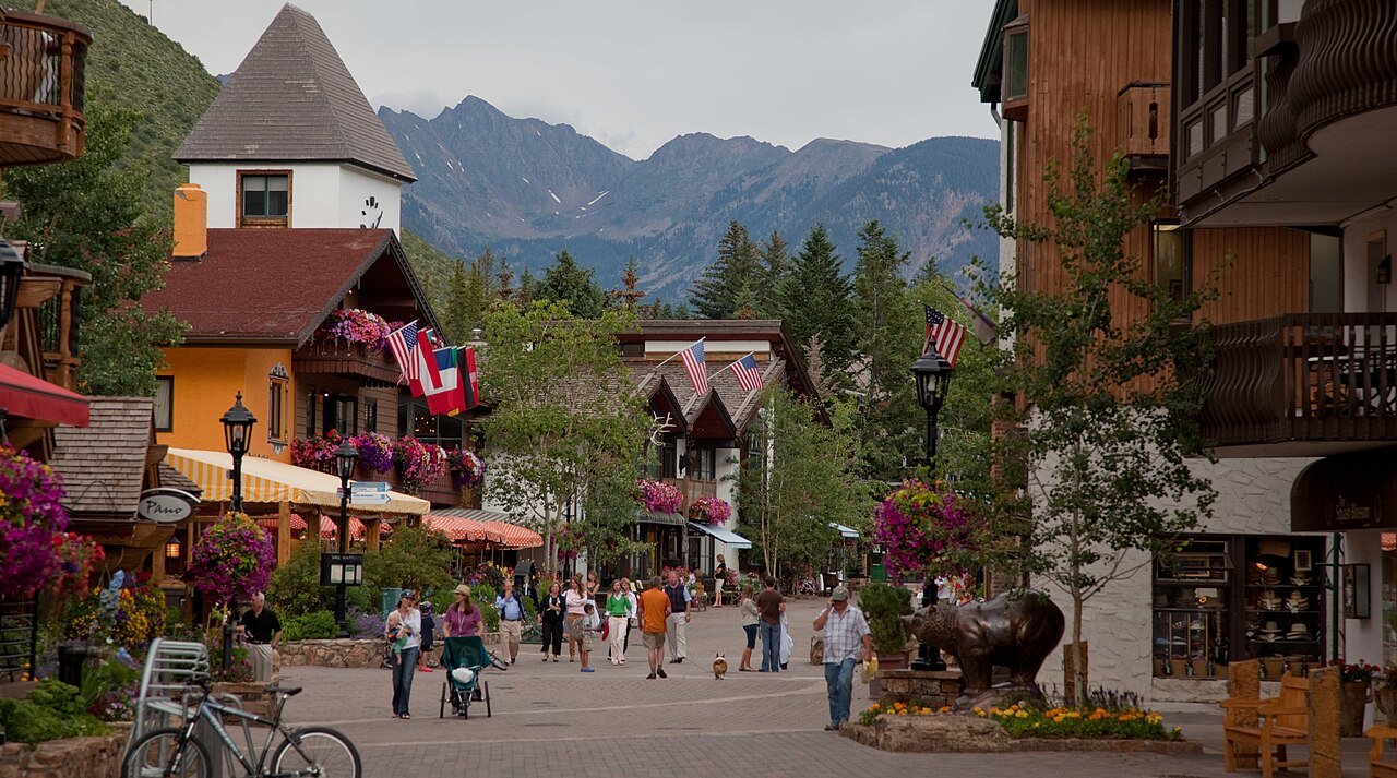
Photo: Nick Csakany · CC BY-SA 4.0. Image resized for web display.

Use the Gore Valley paths for a flexible day
The recreation-path system links village areas with creekside and valley scenery. Pick an access point near your day’s other plans and make a short out-and-back if you want to keep the schedule loose. The system is useful for walking and riding, but the whole corridor should not be treated as one uniform surface or grade.
Check seasonal restrictions, including the Dowd Junction section’s winter closure, and look at the map before choosing an end point. On a bicycle, allow time for the return climb and slow down around pedestrians. If someone in the group needs a particular surface or gradient, verify that exact segment instead of assuming the name 'recreation path' answers the accessibility question.
Plan Booth Falls transport before the hike
Booth Falls is a popular East Vail objective, and the town has restricted parking at the trailhead during the busy season. Use the published parking and bus guidance before leaving the village. Do not turn nearby residential streets, school parking or private access into an improvised trailhead.
The waterfall and Booth Lake are separate ambitions on the same general approach. Continuing toward the lake means substantially more time and climbing than a waterfall visit. Choose your turnaround before starting and adjust it if the weather or pace changes. The route enters mountain terrain; an early start and a shorter fallback are more useful than trying to complete an ambitious distance because it appeared on a list.
Official planning information · Additional official guidance
Separate lift-assisted walks from mountain-bike rides
Seasonal gondola access can shorten the climb to Vail Mountain scenery, but it does not remove the need to choose a suitable route. Confirm the operating day, last return and ticket conditions. If the lift stops for weather, you need to understand the alternatives before relying on it to get back down.
For biking, use the current resort trail map and permitted routes. A sightseeing ticket is not automatically a bike-haul ticket, and a hiking trail is not automatically open to bicycles. Choose a ride that matches your skill, including braking and descending experience. If the group wants an easy shared outing, the valley paths may be a better fit than moving straight to mountain terrain.
Official planning information · Additional official guidance · Additional official guidance
Choose a quieter alternative when needed
Vail’s lakes and waterfall guide offers additional regional ideas, but road access, parking and the length of the actual trail still need checking. A scenic lake photograph can hide an unpaved approach or a long walk. Do not substitute a new route at the last minute without understanding those details.
For a low-commitment alternative, combine Ford Park and Betty Ford Alpine Gardens with a village walk. This gives an outdoor day a clear purpose without requiring perfect mountain weather. Use the official trailhead directions rather than a general town or place marker. Before a longer hike, save the official map and make sure the route back to your bus stop or parking area is clear.
Official planning information · Additional official guidance
Keep planning
More ways to explore
Skiing & winter recreation
Plan winter outings around Vail, with activity choices, seasonal access and practical resources.
Read the guideRafting & fishing
Plan rafting and fishing near Vail, with river choices, seasonal access and current planning resources.
Read the guideWildlife & fall photography
Find wildlife and landscape photography ideas around Vail, with seasonal planning and responsible viewing advice.
Read the guideYour Open Road Bucket List
Save a place. Plan the trip.
0 saved stops in this browser.
Sources, photo credits and map details
Planning information checked November 14, 2026. Follow the linked operators and land managers for changes.
- Betty Ford Alpine Gardens visit information
- Discover Vail hiking
- Vail lakes and waterfalls
- www.fs.usda.gov
- www.openstreetmap.org
- www.openstreetmap.org
- Vail Mountain getting here and bases
- Town of Vail Booth trailhead parking notice
- Town of Vail recreation paths
- www.wikidata.org
- www.wikidata.org
- 2025 Census Gazetteer Colorado places, internal representative points
Photo credits
- Photo: Nick Csakany · CC BY-SA 4.0. Image resized for web display.
The destination map pin represents the town area. It is not a trailhead, parking entrance or route instruction. Specific attraction points are recorded only when a source can be verified. Use the official access information before setting out. OpenStreetMap-derived attraction points, where used, are credited to OpenStreetMap contributors under the ODbL.