
Gore Creek Valley
Fishing & Rafting Around Vail
Vail sits on Gore Creek, while many larger river adventures take place elsewhere in the valley or on the Colorado River. That distinction is the first planning step. Decide whether you want a nearby fishing session, a guided float or a whitewater day, then confirm the water, meeting location and travel time with the operator.
Saved in this browser. View your list in the Visitor Center.
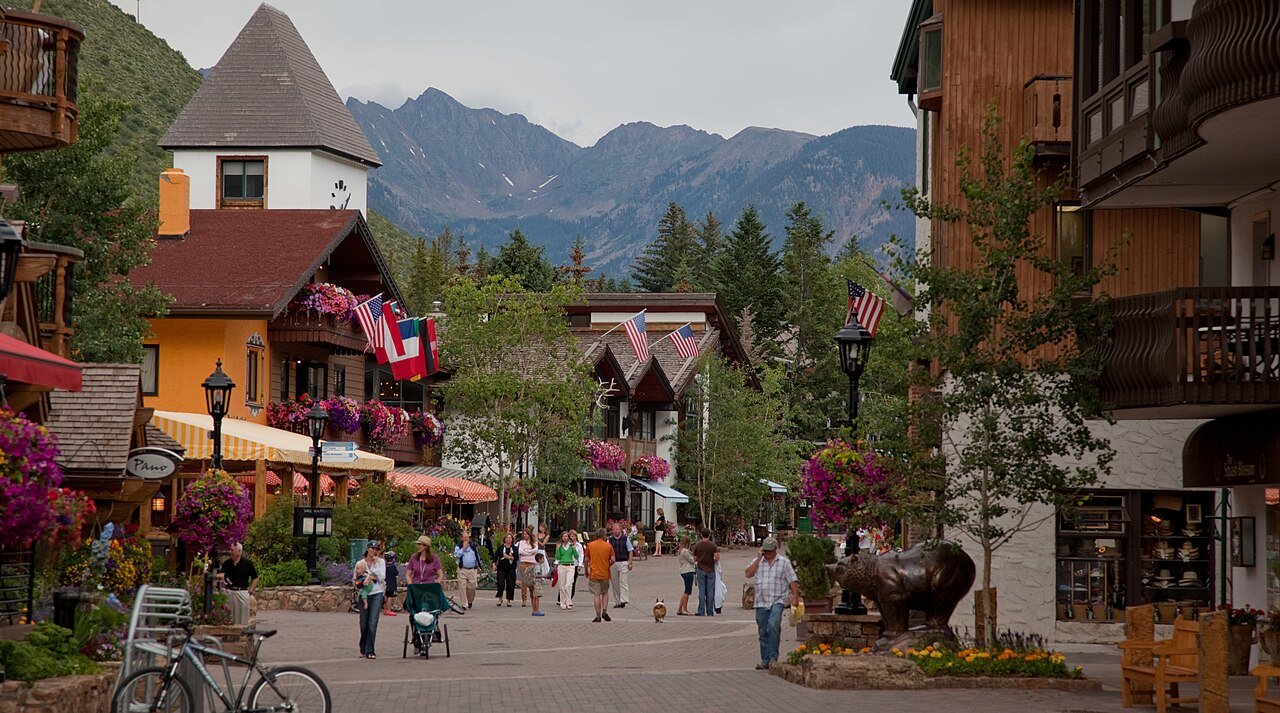
Photo: Nick Csakany · CC BY-SA 4.0. Image resized for web display.

Start with the right fishing water
Gore Creek provides the closest recognizable river setting, while the Eagle and Colorado rivers expand the range of regional fishing trips. Pick water according to current conditions and legal access rather than assuming that the nearest scenic bank is available. A guide can help a first-time visitor select an outing that fits experience, mobility and the season.
The same river can pass through different ownership and regulatory areas. Use CPW’s current maps and rules for the exact stretch. Check the access point, permitted methods and any temporary closure before heading out. A photograph of an angler in town is inspiration, not permission to enter a private bank or a guarantee that fishing is appropriate that day.
Official planning information · Additional official guidance
Choose whitewater by section and conditions
Regional rafting options include the Eagle and Colorado rivers, with some trips reaching farther toward the Arkansas. Confirm the specific river and section, not just the advertised departure area. A booking sold from Vail may require a drive or shuttle before the water portion begins, and the return transfer belongs in the day’s schedule.
Tell the outfitter who is coming and what kind of experience you want. Age requirements, flows and rapid difficulty affect suitability. A river with both mellow and challenging sections cannot be described by one difficulty label. Let the current operator recommendation guide the choice, and keep a backup land-based activity if water levels or weather make the planned trip unsuitable.
Official planning information · Additional official guidance
Consider a lake day separately
The wider Vail area also offers lakes and reservoirs, but they should be planned as their own destinations. Check road conditions, the actual shoreline access and which activities are permitted. A location described as a fishing spot may not have boat rentals, an accessible bank or a simple route to the water.
For visitors who want scenery more than a full river trip, a short lake or creekside outing may be enough. Keep your expectations specific: a picnic and a walk are different from launching a boat, and a fishing pier is different from an open shoreline. Use current site information rather than adding equipment to the car on the assumption that every waterbody supports the same activities.
Official planning information · Additional official guidance
Make the day easy to change
Reserve enough time for check-in, equipment and transport, and avoid putting a tightly timed evening event immediately after a distant river trip. If the operator changes the meeting place or recommends a different section, confirm what that does to the total travel day. Keep dry clothing and any essentials outside the bag that goes on the water.
For an independent fishing outing, review the current regulations shortly before departure and respect voluntary as well as mandatory conservation guidance. Low flows or warm water can make a river day inappropriate even during a usual summer season. The useful alternative is already nearby: a Gore Valley walk, garden visit or museum stop can preserve the day without forcing the water plan.
Official planning information · Additional official guidance · Additional official guidance
Keep planning
More ways to explore
Skiing & winter recreation
Plan winter outings around Vail, with activity choices, seasonal access and practical resources.
Read the guideHiking & biking
Explore hiking and biking around Vail, with route choices, access details and official trail resources.
Read the guideWildlife & fall photography
Find wildlife and landscape photography ideas around Vail, with seasonal planning and responsible viewing advice.
Read the guideYour Open Road Bucket List
Save a place. Plan the trip.
0 saved stops in this browser.
Sources, photo credits and map details
Planning information checked November 14, 2026. Follow the linked operators and land managers for changes.
- Betty Ford Alpine Gardens visit information
- Colorado Parks and Wildlife fishing information
- CPW maps, fishing access and closures
- CPW current rules and fishing brochure
- Discover Vail fishing
- Vail lakes and waterfalls
- Discover Vail rafting rivers
- BLM Eagle River recreation
- www.fs.usda.gov
- www.openstreetmap.org
- www.openstreetmap.org
- Town of Vail recreation paths
- www.wikidata.org
- www.wikidata.org
- 2025 Census Gazetteer Colorado places, internal representative points
Photo credits
- Photo: Nick Csakany · CC BY-SA 4.0. Image resized for web display.
The destination map pin represents the town area. It is not a trailhead, parking entrance or route instruction. Specific attraction points are recorded only when a source can be verified. Use the official access information before setting out. OpenStreetMap-derived attraction points, where used, are credited to OpenStreetMap contributors under the ODbL.