
Routt County · Yampa River Valley
Steamboat Springs, Colorado
Start on Lincoln Avenue, walk a block to the Yampa River, and look across the water to the ski jumps at Howelsen Hill. Steamboat Resort sits a few miles up the valley. Between the two, you can spend a morning on the mountain and an afternoon soaking in a downtown hot spring.
Saved in this browser.
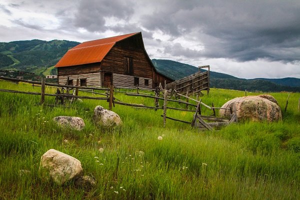
Photo credits
- Barn in the Yampa Valley · Open Road Colorado media collection
- Steamboat Ski Resort · Open Road Colorado media collection
- Lincoln Avenue in the downtown historic district · Jeffrey Beall · CC BY 4.0
- County
- Routt CountyNorthwest Colorado
- Town elevation
- About 6,700 feetTown elevation
- Landscape
- Yampa River ValleyPark Range to the east
- Winter approach
- US Highway 40Rabbit Ears Pass from Kremmling
Choose your stops
Fun things to do in Steamboat Springs, Colorado
Start downtown, then pick a waterfall, a ski hill or a river stop. Open a card for access details and save it to your travel list.
 All year
Lincoln Avenue & Yampa Street
Walk the old storefronts along Lincoln Avenue, then turn toward Yampa Street for riverfront patios and views across to Howelsen Hill.
Start around Sixth Street. Use a marked crossing on Lincoln, the town’s main highway.
Downtown walking guide All year
Fish Creek Falls
A short overlook walk gives you a view into the canyon and its 280-foot waterfall. The lower bridge is a separate route.
From downtown, follow Fish Creek Falls Road to the fee area. Check the trail surface before choosing the overlook or the steeper route to the bridge.
Plan a waterfall hike All year
Old Town Hot Springs
Finish a downtown day with a mineral soak at the eastern end of Lincoln Avenue. The pools are part of a community recreation facility.
Check admission, pool availability and slide hours for your visit. The photo shows the town’s namesake spring, a separate landmark.
Pool hours & admission All year
Steamboat Art Museum
Step inside the former First National Bank building on Lincoln Avenue for rotating exhibitions of Western art.
Pair the museum with nearby galleries on a downtown walk. Check exhibition changeover dates before visiting.
Current exhibitions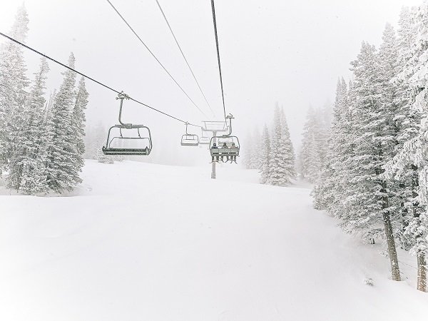 Winter & summer
Steamboat Resort
Ride from the base at Steamboat Square for ski terrain in winter or mountain views during summer operations.
Scenic lift service, bike access and ski access run on different schedules. Choose the ticket for the activity you plan to do.
Mountain hours Winter & summer
Howelsen Hill
Stand below the Nordic jumps across the river from downtown. This city ski area has been part of Steamboat’s winter landscape since 1915.
In winter, check alpine and Nordic schedules separately. In summer, reach Emerald Mountain trails from the base area.
Howelsen Hill operations All year
Yampa River Core Trail
Follow the paved path along the Yampa for river views, park stops and a connection between neighborhoods.
Choose an out-and-back from downtown for a short walk. The full multiuse route is about 7.5 miles one way.
Core Trail information All year
Ranch country photography
Head beyond town for hay meadows, barns and the open landscapes that shaped the Yampa Valley.
Photograph from public pullouts. Keep driveways, gates and agricultural traffic clear.
Wildlife & photography guide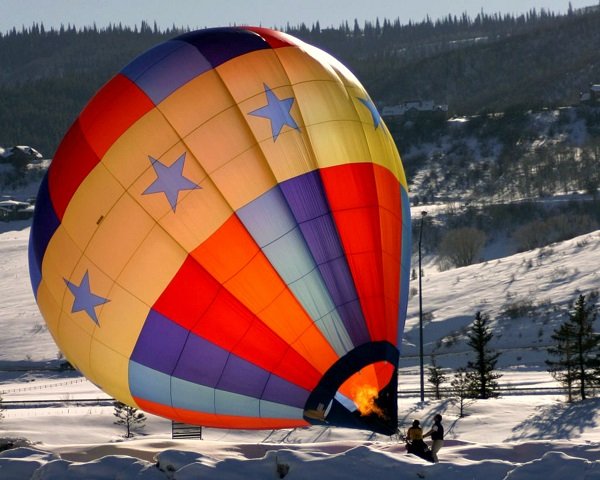 Weather dependent
Ballooning in the Yampa Valley
See the valley floor, ranches and mountain skyline from a balloon on a clear morning.
Book with the operator and leave room for a weather change. A commercial flight is separate from a balloon festival.
Flight details Seasonal
Yampa River fishing & floats
The Yampa runs through the middle of town. Public river access, a fishing spot and a tubing put-in can have different use rules.
Check the current river restrictions before fishing or floating, especially during hot weather or spawning closures.
River recreation guideAll yearThe mineral springs walk
Visit the namesake Steamboat Spring near the river and follow downtown’s mineral springs on foot.
The bubbling springs are landmarks. For a swim or soak, use a facility that specifically admits bathers.
Explore the town’s springs Seasonal access
Rabbit Ears Pass
East of town, US 40 climbs from the valley to high-country meadows and forest. Summer walks give way to groomed and ungroomed winter routes.
Choose a signed trailhead and check which side of the winter recreation area is designated for your activity.
Hiking & biking guideYour selections are saved in this browser.
Photo credits
- Lincoln Avenue in the downtown historic district · Jeffrey Beall · CC BY 4.0
- Footbridge at the base of Fish Creek Falls · Paulmcdonald · CC BY-SA 4.0
- Steamboat Spring · Dicklyon · CC BY-SA 4.0
- First National Bank building on Lincoln Avenue · Jeffrey Beall · CC BY-SA 3.0
- Steamboat Ski Resort · Open Road Colorado media collection
- Howelsen Hill Ski Area · Jeffrey Beall · CC BY-SA 3.0
- Downtown Steamboat Springs · katkimchee · CC BY 2.0
- Ranch country near Steamboat Springs · Open Road Colorado media collection
- Hot air balloons in Steamboat Springs · Open Road Colorado media collection
- Hiking country near Steamboat Springs · Open Road Colorado media collection
- Rabbit Ears Pass · Monster1000 · CC BY-SA 3.0
Add something to your trip
Upcoming events in Steamboat Springs
Find downtown celebrations, ski races, live music and summer festivals. Use the monthly calendar for individual dates. Times are local to Steamboat Springs.
Major Steamboat Springs festivals in 2027
Confirmed organizer dates, except where labeled tentative. Dates and programs may change.
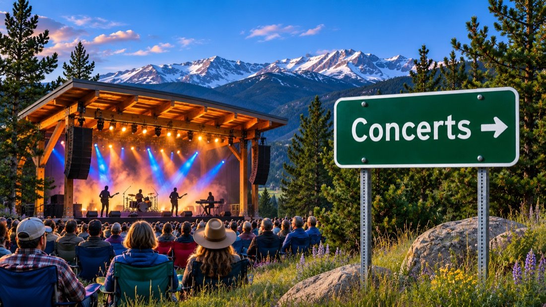 Jan 5 – Jan 10, 2027The MusicFest
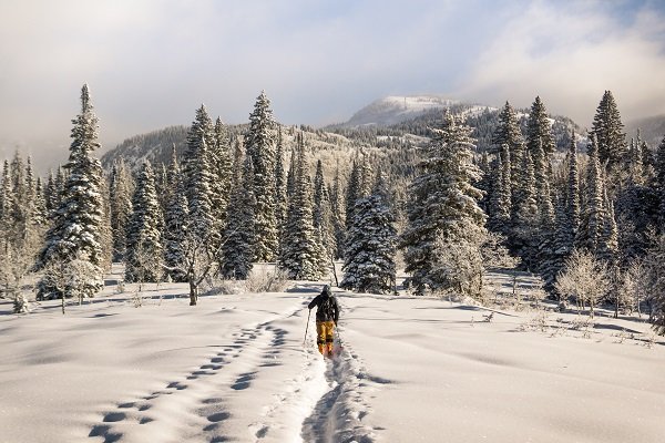 Jan 18, 2027Busch Light Cowboy Downhill
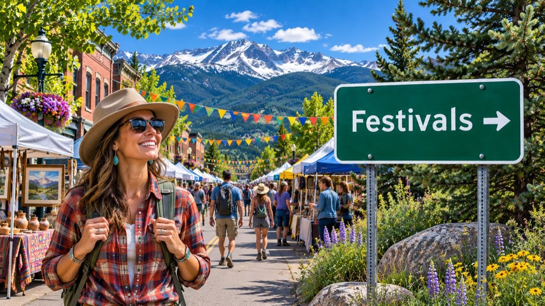 Feb 2 – Feb 7, 2027114th Winter Carnival
 Feb 13, 2027Light Up the Night at the resort
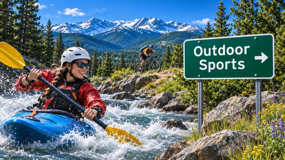
 Mar 5 – Mar 7, 2027WinterWonderGrass
 Apr 10, 2027Cardboard Classic
 Apr 11, 2027Splashdown Pond Skim
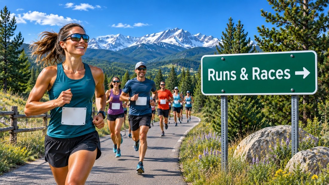 Jun 6, 2027Steamboat Marathon, Half Marathon & 10KJun 25 – Jun 27, 2027SBT GRVL
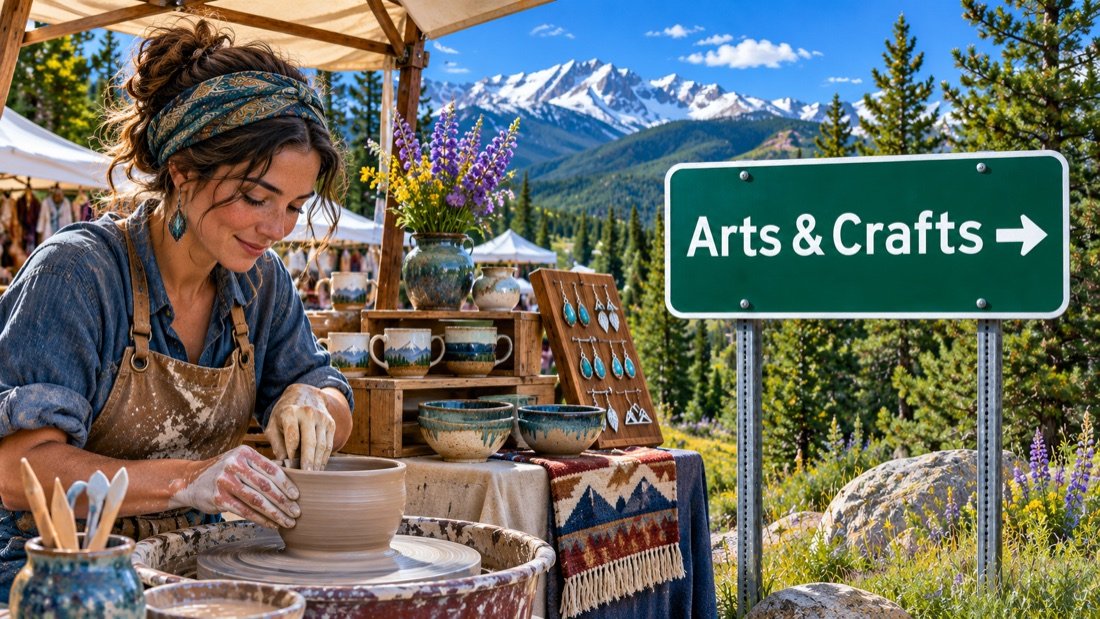 Jul 10 – Jul 11, 2027Art in the Park
 Sep 30 – Oct 3, 2027Steamboat Food & Wine Festival
Steamboat Resort opening day (conditions permitting)
Light Up the Night downtown
Holiday Sale at Warehome Studios
Howelsen Hill opening day (conditions permitting)

A Holiday Review
Holiday Balloon Glow
View the events calendar
November 2026
Scroll across to see every day of the week.
Use the chevron to see more events for that day.
More annual festivals and seasonal events
These are recurring local traditions. Follow the organizer for individual performances, rodeo nights and additional 2027 dates.
Summer rodeo at the Brent Romick ArenaStrings Music Festival concert seasonFourth of July CelebrationHot Air Balloon RodeoSteamboat Springs Farmers MarketSteamboat Free Summer Concert SeriesSteamboat OktoberWest
Dates checked November 19, 2026. Outdoor events can change with the weather. Steamboat Springs events calendar
Photo credits
- Steamboat Ski Resort · Open Road Colorado media collection
- Barn in the Yampa Valley · Open Road Colorado media collection
- Winter snow in Steamboat Springs · Open Road Colorado media collection
- Ranch country near Steamboat Springs · Open Road Colorado media collection
- Hot air balloons in Steamboat Springs · Open Road Colorado media collection
- Ski terrain at Steamboat Resort · Open Road Colorado media collection
- Hiking country near Steamboat Springs · Open Road Colorado media collection
- Autumn near Steamboat Springs · Open Road Colorado media collection
Resort skiing & the hometown hill
Ski & snowboard Steamboat Springs
Steamboat Resort targets November 27 for its 2026/27 opening. City-operated Howelsen Hill lists November 28 through March 28, conditions permitting. The two areas have separate tickets, trail maps and base facilities.
Steamboat Square
Resort base & gondola access
Greenhorn Ranch
Purpose-built learning terrain
Howelsen Hill
City ski area & Nordic jumps
Sunshine Peak
Cruisers above the valley
Opening dates depend on snow and operations. Check the daily report for the terrain actually open.Steamboat mountain operations
Photo credits
- Steamboat Ski Resort · Open Road Colorado media collection
- Ski terrain at Steamboat Resort · Open Road Colorado media collection
- Howelsen Hill Ski Area · Jeffrey Beall · CC BY-SA 3.0
- Winter snow in Steamboat Springs · Open Road Colorado media collection
Make room for an outdoor day
Hiking, biking & recreation
Choose a low-elevation river walk or head up Fish Creek Canyon. The overlook and the upper falls share a trailhead but require very different amounts of time and climbing.
Hiking
Start with the overlook at Fish Creek Falls. For a longer climb, take the lower trail across the bridge and continue toward the upper falls.
Explore Steamboat hikingBiking
Ride a short stretch of the paved Yampa River Core Trail between downtown parks and the Botanic Park. Leave room for walkers at blind turns.
Explore Steamboat cyclingMountain biking
Emerald Mountain rises directly above downtown. Use the trail map to choose a climb and descent, and watch for directional trails and seasonal mud closures.
Explore mountain bikingFly fishing
Fish public reaches of the Yampa through town. Before stepping in, check state regulations and the city’s river restrictions for spawning or low-flow closures.
Fishing & river accessRafting & river trips
Outfitters run seasonal river trips in the Yampa Valley. Match the section to the flow and your group, and ask about transport back to the put-in.
Explore river adventuresSkiing
Choose Steamboat Resort for extensive lift-served terrain or Howelsen Hill for the smaller city ski area across the river from downtown.
Explore Steamboat skiingCompare Steamboat trails
Routes below are specific examples, not the full regional network. Hiking distances and travel times depend on the chosen turnaround.
Fish Creek Falls overlookEasy · About ½ mile round trip · Paved overlook route
- Distance & time
- Allow about 20–40 minutes for the walk and the view. Choose the overlook branch for the shorter visit.
- Climbing & surface
- The paved route leads to a viewpoint above the creek. Ice or packed snow can change access considerably.
- Start & parking
- Follow Fish Creek Falls Road about four miles from town to the signed day-use parking area. A recreation fee applies.
- Access & dogs
- Keep dogs leashed. The overlook and the route down to the bridge are different paths. Check trail conditions before choosing a step-free outing.
Planning sources: Official trail information · Official trail information
Yampa River Core TrailEasy · Up to 7.5 miles one way · Paved
- Distance & time
- Walk a mile out and back from downtown in about 45–60 minutes, or ride a longer section. The full route runs roughly 7.5 miles each way.
- Climbing & surface
- A mostly gentle, paved multiuse path with street crossings, bridges and short changes of grade.
- Start & parking
- Join from a signed river access in downtown Steamboat or from the Botanic Park area. Return to the same access point for a shorter outing.
- Access & dogs
- Share the path with cyclists and walkers. Keep dogs on leash and away from the riverbank during wildlife closures.
Planning sources: Official trail information · Official trail information
Upper Fish Creek FallsStrenuous · About 5 miles round trip · Rocky climb
- Distance & time
- Allow roughly 3–4 hours for the out-and-back. Turn around at the upper waterfall if you are not continuing toward Long Lake.
- Climbing & surface
- The trail climbs out of the canyon on rock and dirt after crossing the lower bridge. Snow lingers on shaded stretches.
- Start & parking
- Use the Fish Creek Falls day-use area. Follow the trail down to the bridge, then continue uphill on the far side.
- Access & dogs
- Keep dogs leashed, yield on narrow trail sections and check snow or ice conditions. The upper route is substantially harder than the overlook.
Planning sources: Official trail information · Official trail information
Take a look around
Explore downtown Steamboat Springs
Walk Lincoln Avenue from Fifth Street toward the old bank building, then cut over to Yampa Street for the river. These three views help you get your bearings.
Photo credits
- Lincoln Avenue in the downtown historic district · Jeffrey Beall · CC BY 4.0
- First National Bank building on Lincoln Avenue · Jeffrey Beall · CC BY-SA 3.0
- Downtown Steamboat Springs · katkimchee · CC BY 2.0
Keep exploring
More fun things to do around Steamboat Springs
Go north through the Elk River Valley for lake country, south to Stagecoach Reservoir, or east on US 40 for the pass. Each makes a different half-day from town.
 North · near Clark
Steamboat Lake State Park
Head north on County Road 129 past Clark for open-water views below Hahn’s Peak. Book a campsite ahead for a summer weekend.
Steamboat Lake visitor information South · near Oak Creek
Stagecoach State Park
Walk the reservoir shore, launch a boat or bring a picnic. Check marina dates and park alerts before towing a trailer south of town.
Stagecoach visitor informationNorth · near Steamboat LakePearl Lake State Park
Make a quieter lake stop on the way to or from nearby Steamboat Lake, pictured here. The short shoreline trail makes a good alternative to a full hiking day.
Pearl Lake visitor informationEast · US Highway 40Rabbit Ears Pass
The climb out of the valley reaches open meadows and forest. In winter, use signed snow-play areas and check US 40 conditions before heading up.
Check pass conditionsPhoto credits
- Steamboat Lake State Park · Jeffrey Beall · CC BY 4.0
- Stagecoach Reservoir · Jeffrey Beall · CC BY 4.0
- Rabbit Ears Pass · Monster1000 · CC BY-SA 3.0
Springs, ranches & ski jumps
History of Steamboat Springs
Steamboat grew up beside the river before a resort took shape on Mount Werner. Downtown, the old depot and the ski jumps tell different parts of that story.
Before incorporationA valley known for its springs
The Yampa Valley is part of the Utes’ ancestral homeland. Long before Lincoln Avenue became a business district, people traveled through the valley and knew its mineral springs. One spring near the river once made a rhythmic chugging sound that reminded newcomers of a steamboat. You can still visit its location on the west side of downtown.
1900sRanching and the railroad
Steamboat Springs incorporated in 1900. The arrival of rail service later that decade connected Routt County’s cattle, sheep and coal industries to distant markets. The depot on Thirteenth Street stood close to the shipping yards. Today it houses an arts center, a good place to see how the river, the railroad and the old commercial district fit together.
1914 onwardFrom Winter Carnival to Mount Werner
Winter Carnival began in 1914. Norwegian ski jumper Carl Howelsen helped establish the local jumping tradition, and Howelsen Hill began operating in 1915. The larger ski area on Storm Mountain opened in 1963. Today the city hill still faces downtown from across the Yampa, while the resort has its own base several miles away. A visit to both explains why skiing here feels connected to town life.
Planning sources: City history · Howelsen Hill history
Photo credits
- Ranch country near Steamboat Springs · Open Road Colorado media collection
Arrive with a plan
Parking & RV parks near Steamboat Springs
Downtown streets and the resort base use different parking rules. Pick the lot for your first stop, then use the local bus between town and the mountain.
Lincoln Avenue & side streets
Downtown commercial district
Look for signed short-stay spaces near shops or a public lot for a longer visit. Yampa Street puts you close to the river.
Meadows Lot
Steamboat Resort · shuttle access
For winter 2026/27 the resort offers free first-come parking Monday through Thursday outside designated peak periods. Three or more people can qualify for free carpool parking.
Upper Knoll Lot
Steamboat Resort · mountain base
Reserve ahead for morning parking. A carpool of at least three can reserve a free spot under the 2026/27 program.
Oversized vehicle parking
Large vehicles · confirm before arrival
Call the lot operator with your total vehicle and trailer length before driving downtown or toward the gondola. Plan the return turn as well as the parking space.
Howelsen Hill & rodeo grounds
Howelsen Parkway · south side of the Yampa
Park near the city ski hill, rodeo arena and Emerald Mountain access. Walk across the river for downtown shops.
Accessible parking & transit
Signed spaces · confirm your route
Choose a designated space or drop-off near the entrance you intend to use. Ask your venue about the step-free route from the bus stop or lot.
Park once, then ride the free bus
Steamboat Springs Transit connects downtown and the resort on its local fare-free system. Check the seasonal timetable and your last return bus.
Parking reviewed November 19, 2026. Check the posted signs and resort peak-date calendar for your visit. City parking policies
Flying in
Yampa Valley Airport to Steamboat Springs
Fly into Hayden for the shortest transfer to Steamboat. From the airport, US 40 follows the valley east to downtown and the resort.

Yampa Valley Regional Airport
Look for HDN when booking commercial flights. The airport is about 22 miles west of Steamboat Springs. Downtown comes first on the drive east, with the resort base farther along.
Official airport informationDrive times
- Downtown Steamboat Springs
- About 30–40 minutes
- Steamboat Resort base
- About 40–50 minutes
These are driving estimates in normal conditions. Add time for snow, baggage claim and rental-car pickup.
Ride share & taxi
The airport lists taxi and private-car operators. Reserve before landing, especially if you have ski bags, a late arrival or a group that needs a larger vehicle.
Confirm where your driver meets arriving passengers. The airport advises arranging transportation in advance because local availability is limited.
Bus and shuttle
Reserved shuttle:Shared and private shuttles serve the terminal. Some operators meet scheduled flights and offer door-to-door service. Book the return at the same time.
Public bus:Steamboat’s fare-free local bus is useful once you are in town. Arrange the separate trip from the Hayden airport to your lodging.
Nonstop flights
Year round:Denver provides a connection to the Yampa Valley. Check the airline timetable for the day and time you need.
Seasonal:Winter brings additional nonstop markets. Flight days and seasonal end dates vary by airline.
Flying into Denver instead?
Denver alternatives:Denver International has more flight choices and a much longer ground transfer. Allow time for the trip from the airport across the metro area.Denver airport
Mountain road approach:The usual Denver route takes I-70 west, CO 9 north from Silverthorne, then US 40 west over Rabbit Ears Pass. Winter travel can take substantially longer.COtrip road conditions
Transfer planning:Confirm your ground transfer before booking a late arrival and leave time for mountain weather on the return.Steamboat arrival guide
Airport and transport information checked November 19, 2026. Consult airport and carrier schedules for current service. HDN ground transportationAirport operator directory
Photo credits
- Private aircraft on a tarmac: Niklas Jonasson · Unsplash License. Illustrative aviation photo.
Local maps and trip advice
Steamboat Springs Visitor Center
Stop at the Chamber Visitor Center on Anglers Drive between downtown and the ski area. Pick up a map, check which trails are open, or ask about events during your stay.
Steamboat Springs Chamber
- Location
- 125 Anglers Drive
Steamboat Springs, CO 80487 - Published hours
- Check the Chamber’s current hours before visiting.
Call ahead for holiday schedules. - Visitor information
- 970-879-0880
info@steamboatchamber.com - How to find it
- Turn off US 40 onto Anglers Drive. The center is across the highway from the McDonald’s and Starbucks area.
Information checked November 19, 2026. Open Road Colorado is an independent travel guide.
Plan the drive
Steamboat Springs map & driving directions
US 40 follows the Yampa through downtown. From the Front Range, the final approach comes over Rabbit Ears Pass. From Hayden, it follows the valley east.
The map centers on Steamboat Springs. Use a street address for your hotel, ski base or trailhead.
Drive times & directions
| From | Miles | Drive time | Route |
|---|---|---|---|
| DenverI-70 W, CO 9 N, US 40 W | ≈ 160 | 3–3½ hr | Get directions |
| Colorado SpringsI-25 N via Denver, then US 40 | ≈ 240 | 4½–5 hr | Get directions |
| PuebloI-25 N via Colorado Springs | ≈ 285 | 5–6 hr | Get directions |
| Fort CollinsCO 14 via Walden, US 40 W | ≈ 160 | 3½–4 hr | Get directions |
| BoulderVia I-70, CO 9 and US 40 | ≈ 167 | 3½–4 hr | Get directions |
| BreckenridgeCO 9 N via Silverthorne | ≈ 100 | 2–2½ hr | Get directions |
| Grand JunctionI-70 E, CO 13 N, US 40 E | ≈ 196 | 3½–4 hr | Get directions |
| Yampa Valley AirportUS 40 E from Hayden | ≈ 22 | 30–40 min | Get directions |
Planning estimates for typical dry-road trips. Mileage varies by starting address and chosen route. For live closures and winter delays, check COtrip
Rabbit Ears Pass conditions can change quickly. Wind, snowfall and temporary closures can delay the US 40 approach. Check the pass before leaving Kremmling.COtrip road conditionsCOtrip road conditions
A few things to know
Steamboat Springs travel questions
Plan a ski day, a downtown soak or a summer river stop with these answers to common trip questions.
What is the best time to visit Steamboat Springs?
Choose winter for skiing and Winter Carnival. June and July bring running events, art and longer trail days. September is a good bet for aspen color, with timing dependent on elevation and weather.
Is Rabbit Ears Pass open in winter?
US 40 is a year-round highway. Snow, wind or crashes can still close the pass. Check COtrip before leaving the Front Range and again before the climb from Kremmling.
How do I get between downtown and Steamboat Resort?
Take a fare-free local bus between downtown and the mountain. Check the seasonal route and your last return trip, especially after an evening event.
Can I visit Steamboat Springs without a car?
Yes, if you stay near the bus route and arrange an airport transfer. Downtown, the Core Trail and the resort base work well on foot or by transit. Fish Creek Falls and Strawberry Park need separate transportation. For Strawberry Park Hot Springs, reserve a two-hour soak and bring cash. An authorized shuttle booking includes the pool reservation. Strawberry Park shuttle and reservations.
Where should beginner skiers start?
At Steamboat Resort, ask about lessons and Greenhorn Ranch. Howelsen Hill has a separate schedule, ticket office and terrain. Make sure your lesson reservation matches the hill you plan to visit.
Can I bring my dog on Steamboat Springs trails?
Dogs are welcome on many local routes when leashed, including the Fish Creek Falls overlook. Check the signed rules at each trailhead. Wildlife closures, busy bike trails and winter grooming affect where dogs can go.
Where can I park an RV near Steamboat Springs?
Reserve a campsite at the Steamboat Springs KOA or a suitable site at Stagecoach or Steamboat Lake. Check the pad length before bringing a trailer. Downtown and resort parking lots have separate rules for day use.
Which stops work for a step-free outing?
Start with a short paved Core Trail segment downtown or the paved overlook at Fish Creek Falls in clear conditions. Confirm current surfaces, vehicle access and the nearest accessible restroom before leaving.