
Yampa Valley
Hiking & Biking Around Steamboat Springs
Steamboat’s trails range from a paved river corridor to forest climbs and larger mountain networks. Choose the type of day first: an easy connection through town, a waterfall visit, a mountain-bike ride or a sustained hike. Keeping those choices distinct prevents a familiar destination name from turning into a much bigger outing than anyone expected.
Saved in this browser. View your list in the Visitor Center.
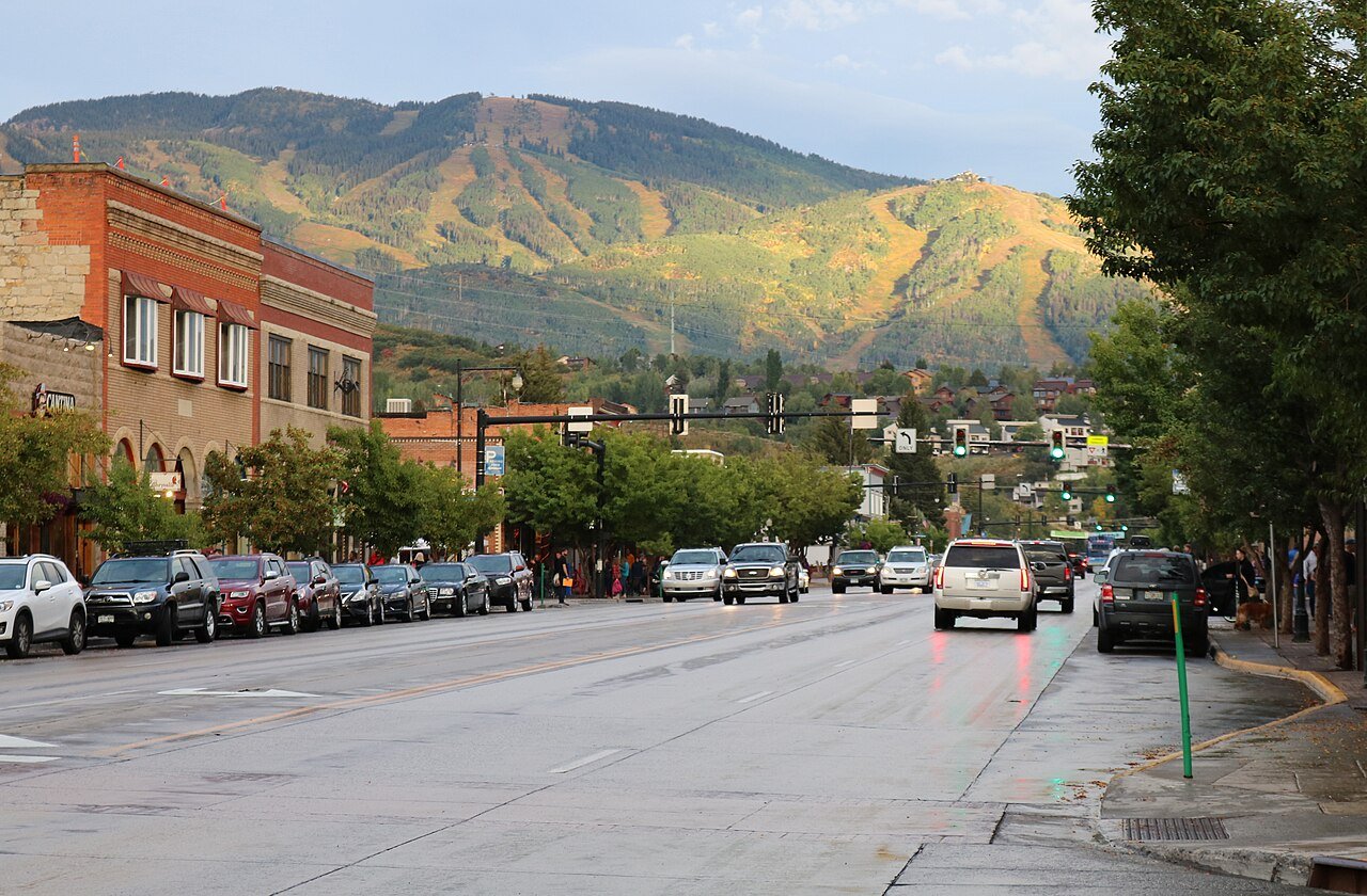
Photo: Jeffrey Beall · CC BY 4.0. Image resized for web display.

Use the Yampa River Core Trail to get oriented
The Yampa River Core Trail follows the river through town and provides a useful introduction before taking on a mountain route. Choose a segment with a convenient starting point and a clear return, then use it to connect a walk or ride with time downtown. The city’s interactive map is the right place to check current route conditions and closures.
This is a shared corridor. Keep speeds appropriate around walkers, give other users room and move off the travel line before stopping for a photograph. For a group with different energy levels, an out-and-back allows a comfortable turnaround without needing to complete a fixed loop. Winter snow and ice can change the practical experience even on a paved path.
Be specific about which Fish Creek Falls route you mean
Fish Creek Falls offers several different outings from the same general area. The paved overlook approach is about a quarter mile one way and is identified as accessible by the local visitor guide. A separate dirt route descends toward the bridge below the lower falls. Continuing to Upper Fish Creek Falls is a substantially longer climb, listed at roughly 2.5 miles one way from the base area.
Choose before leaving the parking area. Allow time for the return from the upper falls as well as the climb. If someone needs the accessible viewpoint, check current surface conditions and access rather than assuming the longer dirt trail has the same characteristics. A short overlook visit can be a complete outing without an additional climb.
Read Emerald Mountain as a network
Emerald Mountain has interconnected trails on city and federal land. Use the relevant management map to select the whole ride or walk, including the return, rather than following a single attractive trail name. BLM’s nature-experience zone excludes mountain bikes, and its southern seasonal closure protects elk. Other sections may have different permitted uses and current conditions.
Choose a route with a manageable amount of climbing and a clear way back. A loop that looks compact on a screen can still take time when every turn is unfamiliar. Stop at junctions to check the plan, and leave muddy trails for another day. For a first ride, a shorter route that you understand is more useful than a long collection of connectors.
Official planning information · Additional official guidance
Consider Spring Creek for a longer town-connected outing
The city describes Spring Creek as a multi-use trail that climbs from the East Maple Street and Amethyst Street area toward Dry Lake Campground. Its character changes along the way, including sections near roads, two-track and narrower trail. Read the route description and choose an appropriate turnaround; reaching the far endpoint is not required to enjoy the corridor.
Watch for the mix of users and potential vehicle traffic described in the access information. If you are walking with children or riding with beginners, discuss where to stop and regroup before the route becomes less familiar. Keep the return effort in mind, especially when a pleasant climb makes it tempting to keep adding distance.
Official planning information · Additional official guidance
Keep a shorter alternative in the plan
Pair one larger trail day with a river walk or a seasonal visit to Yampa River Botanic Park. The park has its own opening season, so verify access rather than treating it as a year-round stop. Download the relevant official map before leaving reliable service, and check weather and trail status again on the morning of the outing.
Official planning information · Additional official guidance
Keep planning
More ways to explore
Skiing & winter recreation
Plan winter outings around Steamboat Springs, with activity choices, seasonal access and practical resources.
Read the guideRafting & fishing
Plan rafting and fishing near Steamboat Springs, with river choices, seasonal access and current planning resources.
Read the guideWildlife & fall photography
Find wildlife and landscape photography ideas around Steamboat Springs, with seasonal planning and responsible viewing advice.
Read the guideYour Open Road Bucket List
Save a place. Plan the trip.
0 saved stops in this browser.
Sources, photo credits and map details
Planning information checked November 14, 2026. Follow the linked operators and land managers for changes.
- BLM Emerald Mountain and seasonal closures
- www.fs.usda.gov
- www.openstreetmap.org
- www.openstreetmap.org
- Steamboat hiking options
- Fish Creek Falls route choices
- Steamboat Springs city trails
- www.wikidata.org
- www.wikidata.org
- www.wikidata.org
- www.wikidata.org
- www.wikidata.org
- Yampa River Botanic Park visitor guide
- 2025 Census Gazetteer Colorado places, internal representative points
Photo credits
- Photo: Jeffrey Beall · CC BY 4.0. Image resized for web display.
The destination map pin represents the town area. It is not a trailhead, parking entrance or route instruction. Specific attraction points are recorded only when a source can be verified. Use the official access information before setting out. OpenStreetMap-derived attraction points, where used, are credited to OpenStreetMap contributors under the ODbL.