
Northern Front Range / Rocky Mountain National Park gateway
Winter Recreation Around Estes Park
Winter near Estes Park is a choice between a town-based outing and a mountain outing, not a single set of conditions. Keep the Riverwalk, park roads and snow-covered trails separate in the plan. Each needs a different check before departure.
Saved in this browser. View your list in the Visitor Center.
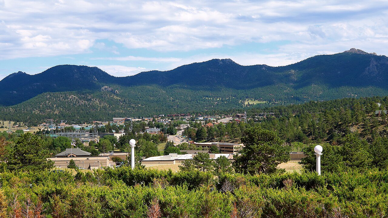
Photo: Larry D. Moore · CC BY 4.0. Image resized for web display.

Start with the valley
A shorter town or lakefront walk can be the right first outing, particularly when the group is adjusting to elevation or uncertain weather. Choose a route that can be shortened and watch for shaded ice, wind and snow piled at crossings. The paved nature of a summer path does not guarantee clear winter footing. Keep an indoor or visitor-center stop available rather than treating a change of plan as a failed outdoor day.
Official planning information · Additional official guidance · Additional official guidance
Read our Estes Park Visitor Center guide for a closer look at the visit, current planning considerations and accessibility.
Select a snowshoe route with current information
Rocky Mountain National Park offers snowshoeing when conditions support it, but a familiar summer destination does not automatically make an easy winter route. Ask about the actual trail, snow depth and avalanche exposure, and use equipment appropriate to the conditions. Do not follow another group's tracks as a substitute for route planning. The NPS winter page includes evergreen guidance as well as dated condition updates; check the date before treating a photograph or snow report as today's information.
Keep sledding and scenic stops realistic
Hidden Valley is the park's designated winter sledding setting, but usable snow and operating facilities vary. Check the park's current information before packing the car around that activity. Scenic stops and wildlife viewing can provide a different winter experience without an ambitious trail, provided the road is open and there is a legal place to stop. Choose one main outing and leave sufficient daylight for a calm return rather than trying to fit several unfamiliar park routes into a short afternoon.
Official planning information · Additional official guidance
Check access, not just the forecast
Town shuttle routes are seasonal, and the NPS Hiker Shuttle is a separate service. Do not plan a winter return around a summer bus timetable. For mobility needs, compare the NPS access guide with current snow conditions and ask about the particular destination. Bring extra layers for waiting and stopping, not just for walking. A route that remains within the group's comfort and available daylight will be more enjoyable than one chosen because it looks short on a summer map.
Official planning information · Additional official guidance
Keep planning
More ways to explore
Hiking & biking
Explore hiking and biking around Estes Park, with route choices, access details and official trail resources.
Read the guideRafting & fishing
Plan rafting and fishing near Estes Park, with river choices, seasonal access and current planning resources.
Read the guideWildlife & fall photography
Find wildlife and landscape photography ideas around Estes Park, with seasonal planning and responsible viewing advice.
Read the guideYour Open Road Bucket List
Save a place. Plan the trip.
0 saved stops in this browser.
Sources, photo credits and map details
Planning information checked November 14, 2026. Follow the linked operators and land managers for changes.
- NPS: Rocky Mountain accessibility
- NPS: Rocky Mountain wildlife viewing
- NPS: Rocky Mountain winter recreation
- www.openstreetmap.org
- Visit Estes Park: Seasonal shuttles
- Estes Park visitor center
- Visit Estes Park: Lake Estes
- Visit Estes Park: Walking and hiking
- www.wikidata.org
- www.wikidata.org
- 2025 Census Gazetteer: Colorado places
Photo credits
- Photo: Larry D. Moore · CC BY 4.0. Image resized for web display.
The destination map pin represents the town area. It is not a trailhead, parking entrance or route instruction. Specific attraction points are recorded only when a source can be verified. Use the official access information before setting out. OpenStreetMap-derived attraction points, where used, are credited to OpenStreetMap contributors under the ODbL.