
Northern Front Range / Rocky Mountain National Park gateway
Wildlife & Fall Photography Around Estes Park
Elk, mountain backdrops and changing trees make Estes Park a strong place to slow down with a camera. The most useful planning choice is where you can observe comfortably from an established public place. Wildlife and fall color do not follow a visitor's timetable.
Saved in this browser. View your list in the Visitor Center.
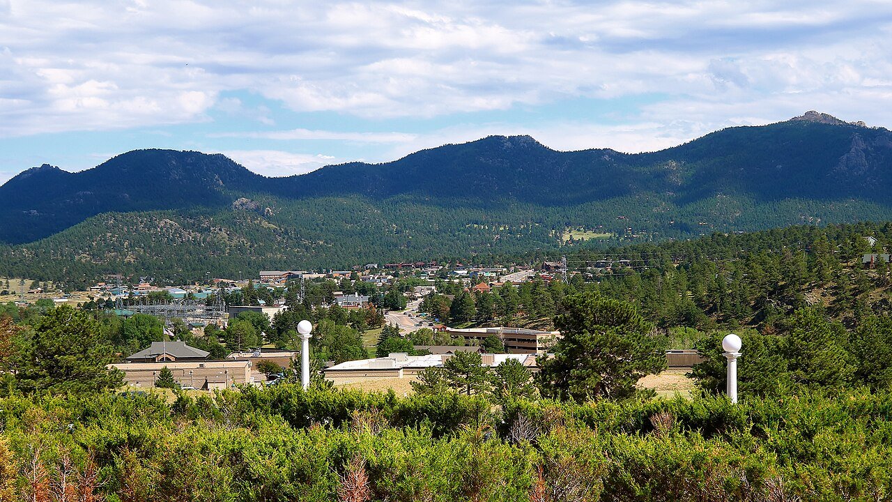
Photo: Larry D. Moore · CC BY 4.0. Image resized for web display.

Give elk room in town as well as the park
Elk may appear in the valley and in developed areas, but being near buildings does not make them tame. During the fall rut, keep particularly generous space and an unobstructed route for the animal. Use a long lens or binoculars. If an animal reacts to you, increase the distance instead of waiting for a better expression. Avoid joining a crowd that closes off its movement, and never move between animals to improve the composition.
Official planning information · Additional official guidance
Choose a landscape before chasing sightings
Lake Estes and the Riverwalk provide water, trees and valley views without requiring a wildlife encounter to make the outing worthwhile. Work with reflections, branches and the relation between the town and surrounding slopes. Stay aware of shared-path traffic when looking through the camera. If the subject changes, adapt rather than stepping off a designated route or blocking a bridge. A quieter photograph of the place can tell more about the visit than a crowded close-up of an animal.
Official planning information · Additional official guidance
Use park viewpoints within their access limits
Inside Rocky Mountain National Park, choose legal pullouts and open trails. Park wildlife guidance emphasizes meadows and forest edges for elk, but no location guarantees a sighting. Watch the road before watching the camera and do not stop in the traveled lane. Check entry requirements, road status and seasonal conditions before driving to a specific area. An autumn plan should remain flexible enough to return to town if visibility, snow or available parking makes the intended stop unsuitable.
Official planning information · Additional official guidance
Plan for waiting and shorter days
Photography often means standing still, so bring a warmer layer than you would need for a continuous walk. Choose the return time before the light fades and keep enough energy for the journey back. The exact timing of color varies with elevation and weather; use recent observations without treating them as a guarantee for the following weekend. Respect closures, leave vegetation in place and keep food secured. The best lasting record of the trip is one that leaves the scene and its wildlife undisturbed.
Official planning information · Additional official guidance
Keep planning
More ways to explore
Skiing & winter recreation
Plan winter outings around Estes Park, with activity choices, seasonal access and practical resources.
Read the guideHiking & biking
Explore hiking and biking around Estes Park, with route choices, access details and official trail resources.
Read the guideRafting & fishing
Plan rafting and fishing near Estes Park, with river choices, seasonal access and current planning resources.
Read the guideYour Open Road Bucket List
Save a place. Plan the trip.
0 saved stops in this browser.
Sources, photo credits and map details
Planning information checked November 14, 2026. Follow the linked operators and land managers for changes.
- NPS: Rocky Mountain accessibility
- NPS: Rocky Mountain timed entry
- NPS: Rocky Mountain wildlife viewing
- www.openstreetmap.org
- Visit Estes Park: Lake Estes
- Visit Estes Park: Walking and hiking
- Visit Estes Park: Wildlife watching
- www.wikidata.org
- www.wikidata.org
- 2025 Census Gazetteer: Colorado places
Photo credits
- Photo: Larry D. Moore · CC BY 4.0. Image resized for web display.
The destination map pin represents the town area. It is not a trailhead, parking entrance or route instruction. Specific attraction points are recorded only when a source can be verified. Use the official access information before setting out. OpenStreetMap-derived attraction points, where used, are credited to OpenStreetMap contributors under the ODbL.