
Northern Front Range / Rocky Mountain National Park gateway
Hiking & Biking Around Estes Park
Estes Park offers accessible town paths, lake views and a gateway to mountain hiking. Biking has its own set of choices. Keeping those activities distinct prevents the common mistake of assuming a national-park hiking trail is also a place to ride.
Saved in this browser. View your list in the Visitor Center.
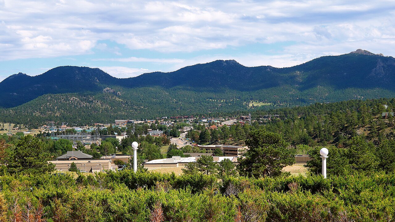
Photo: Larry D. Moore · CC BY 4.0. Image resized for web display.

Use the Riverwalk for a flexible first outing
The town's Riverwalk links the visitor-center area with downtown and Performance Park. Choose a short out-and-back if you want to stop often or combine the walk with another activity. This is a useful way to get oriented without making a trailhead parking commitment. Leave room for other users at narrow sections and bridges, and use a place off the traveled path for photographs. An arrival-day walk can be worthwhile without becoming an endurance objective.
Official planning information · Additional official guidance
Read our Estes Park Visitor Center guide for a closer look at the visit, current planning considerations and accessibility.
Choose a section of the Lake Estes loop
The paved loop around Lake Estes is about 3.75 miles, with the option to turn back earlier. It gives walkers and riders a clear visual destination and broad valley views. Check the current trail situation and choose a starting point with the facilities you need. Keep wildlife and other path users in mind, especially when riding. A full loop is optional; a shorter visit with time to sit beside the lake can fit a mixed-ability group better than insisting that everyone complete the circuit.
Plan national-park hiking separately
Choose the trail and park area, then check the current entry and parking arrangements. Bear Lake Road has a separate timed-entry option during the applicable season, and requirements can change by year. Read the trail description for surface, climbing and seasonal conditions rather than deciding from distance alone. For a mobility-focused outing, compare the NPS access guide with the day's weather. Do not assume that a park entrance pass also reserves the specific parking or shuttle connection you need.
Official planning information · Additional official guidance
Keep bikes on permitted routes
Inside Rocky Mountain National Park, bicycles are generally permitted on roads open to motor vehicles and prohibited on hiking trails, with a limited East Shore exception near Grand Lake. That exception is not an Estes-side mountain-bike network. Park roads can be narrow and steep, so road cycling requires a different plan from a family lake loop. Use the current NPS rules and do not rely on a bike rack being available on park shuttles. Choose the route for the ride you can complete comfortably, including its return.
Keep planning
More ways to explore
Skiing & winter recreation
Plan winter outings around Estes Park, with activity choices, seasonal access and practical resources.
Read the guideRafting & fishing
Plan rafting and fishing near Estes Park, with river choices, seasonal access and current planning resources.
Read the guideWildlife & fall photography
Find wildlife and landscape photography ideas around Estes Park, with seasonal planning and responsible viewing advice.
Read the guideYour Open Road Bucket List
Save a place. Plan the trip.
0 saved stops in this browser.
Sources, photo credits and map details
Planning information checked November 14, 2026. Follow the linked operators and land managers for changes.
- NPS: Rocky Mountain accessibility
- NPS: Rocky Mountain bicycling
- NPS: Rocky Mountain timed entry
- www.openstreetmap.org
- Estes Park visitor center
- Visit Estes Park: Lake Estes
- Visit Estes Park: Walking and hiking
- www.wikidata.org
- www.wikidata.org
- 2025 Census Gazetteer: Colorado places
Photo credits
- Photo: Larry D. Moore · CC BY 4.0. Image resized for web display.
The destination map pin represents the town area. It is not a trailhead, parking entrance or route instruction. Specific attraction points are recorded only when a source can be verified. Use the official access information before setting out. OpenStreetMap-derived attraction points, where used, are credited to OpenStreetMap contributors under the ODbL.