
Pikes Peak region
Hiking & Biking Around Colorado Springs
Choose Colorado Springs trails by the kind of day you want: a paved red-rock walk, a longer foothills hike or a mountain-bike ride. The parks are close enough to compare, but their permitted uses and terrain are not interchangeable.
Saved in this browser. View your list in the Visitor Center.
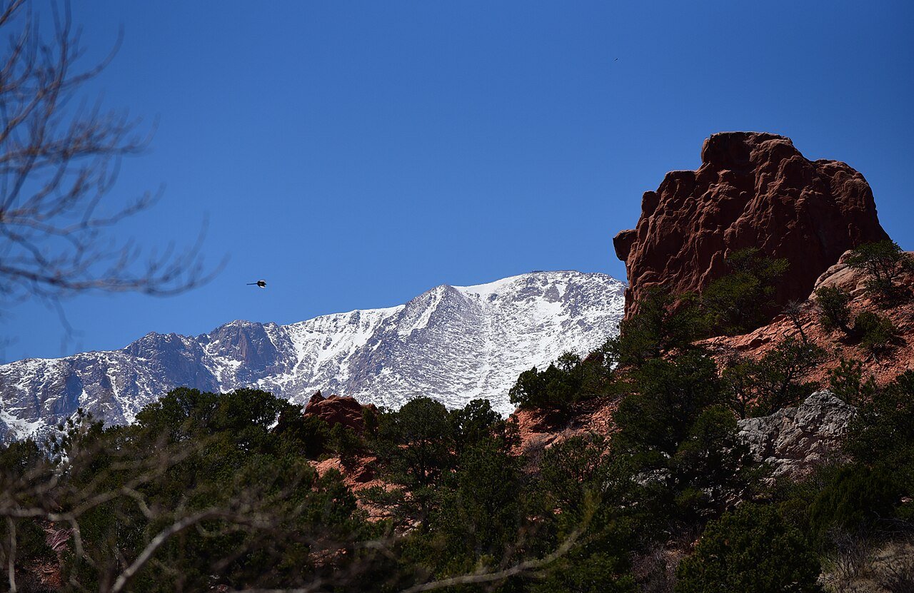
Photo: Staff Sgt. Amber Grimm / U.S. Air Force · Public domain (U.S. federal government work). Image resized for web display.


Garden of the Gods for a first walk
The Perkins Central Garden Trail is the straightforward place to begin for close views of the major formations. From there, use the official trail map if you want a longer pedestrian route. Bicycles belong on designated routes; a footpath beside a familiar landmark is not automatically a bike trail. Keep the main objective simple on a first visit, and allow time at the Visitor & Nature Center to understand what you are seeing rather than treating the park as a quick photograph.
Official planning information · Additional official guidance
Red Rock Canyon for more trail choices
Red Rock Canyon Open Space provides a different sandstone setting and routes suited to a longer outing. Choose a signed loop or out-and-back from the current map, with particular attention to mountain-bike routes and trail junctions. Decide on a turnaround point before you are tired. If the surface is muddy, choose another activity instead of walking or riding along the edge and widening the trail. Views alone do not tell you the difficulty of the route beyond the next bend.
Add a park day beyond the busiest landmarks
Cheyenne Mountain State Park has a network of hiking and cycling routes below the mountain's eastern flank. Mueller, farther into the mountains, offers a different forest and meadow experience. Compare current maps, permitted uses and conditions before selecting one. At Mueller, some sensitive routes are for hikers only and pets are prohibited on trails. A region-wide list of places should help narrow the choice, not imply that every route suits every rider, walker or dog.
Official planning information · Additional official guidance · Additional official guidance
Match the plan to the whole group
For an easier-access outing, start with a documented paved route and check restrooms, parking and the surface after recent weather. For a challenging hike such as the Manitou Incline or a Pikes Peak route, use the dedicated destination guide and operator requirements rather than adding it casually to an already full day. Carry water, a map you can use without a connection and an extra layer. Let the slowest comfortable pace set the outing, and save another park for the next visit.
Official planning information · Additional official guidance
Keep planning
More ways to explore
Skiing & winter recreation
Plan winter outings around Colorado Springs, with activity choices, seasonal access and practical resources.
Read the guideRafting & fishing
Plan rafting and fishing near Colorado Springs, with river choices, seasonal access and current planning resources.
Read the guideWildlife & fall photography
Find wildlife and landscape photography ideas around Colorado Springs, with seasonal planning and responsible viewing advice.
Read the guideYour Open Road Bucket List
Save a place. Plan the trip.
0 saved stops in this browser.
Sources, photo credits and map details
Planning information checked November 14, 2026. Follow the linked operators and land managers for changes.
- CPW: Cheyenne Mountain State Park
- CPW: Mueller State Park
- CPW: Mueller trail highlights
- Garden of the Gods park rules
- www.fs.usda.gov
- www.openstreetmap.org
- www.openstreetmap.org
- Visit Colorado Springs: Accessible Colorado Springs
- Red Rock Canyon Open Space
- Garden of the Gods trails
- Colorado Springs hiking
- www.wikidata.org
- www.wikidata.org
- www.wikidata.org
- www.wikidata.org
- www.wikidata.org
- 2025 Census Gazetteer: Colorado places
Photo credits
- Photo: Staff Sgt. Amber Grimm / U.S. Air Force · Public domain (U.S. federal government work). Image resized for web display.
The destination map pin represents the town area. It is not a trailhead, parking entrance or route instruction. Specific attraction points are recorded only when a source can be verified. Use the official access information before setting out. OpenStreetMap-derived attraction points, where used, are credited to OpenStreetMap contributors under the ODbL.