
Pikes Peak region
Fishing & River Days Near Colorado Springs
A Colorado Springs water day can mean a nearby pond, a reservoir west of the city or a separate Arkansas River rafting trip. Choose the location first. The area’s rivers and reservoirs have very different access, travel and skill requirements.
Saved in this browser. View your list in the Visitor Center.
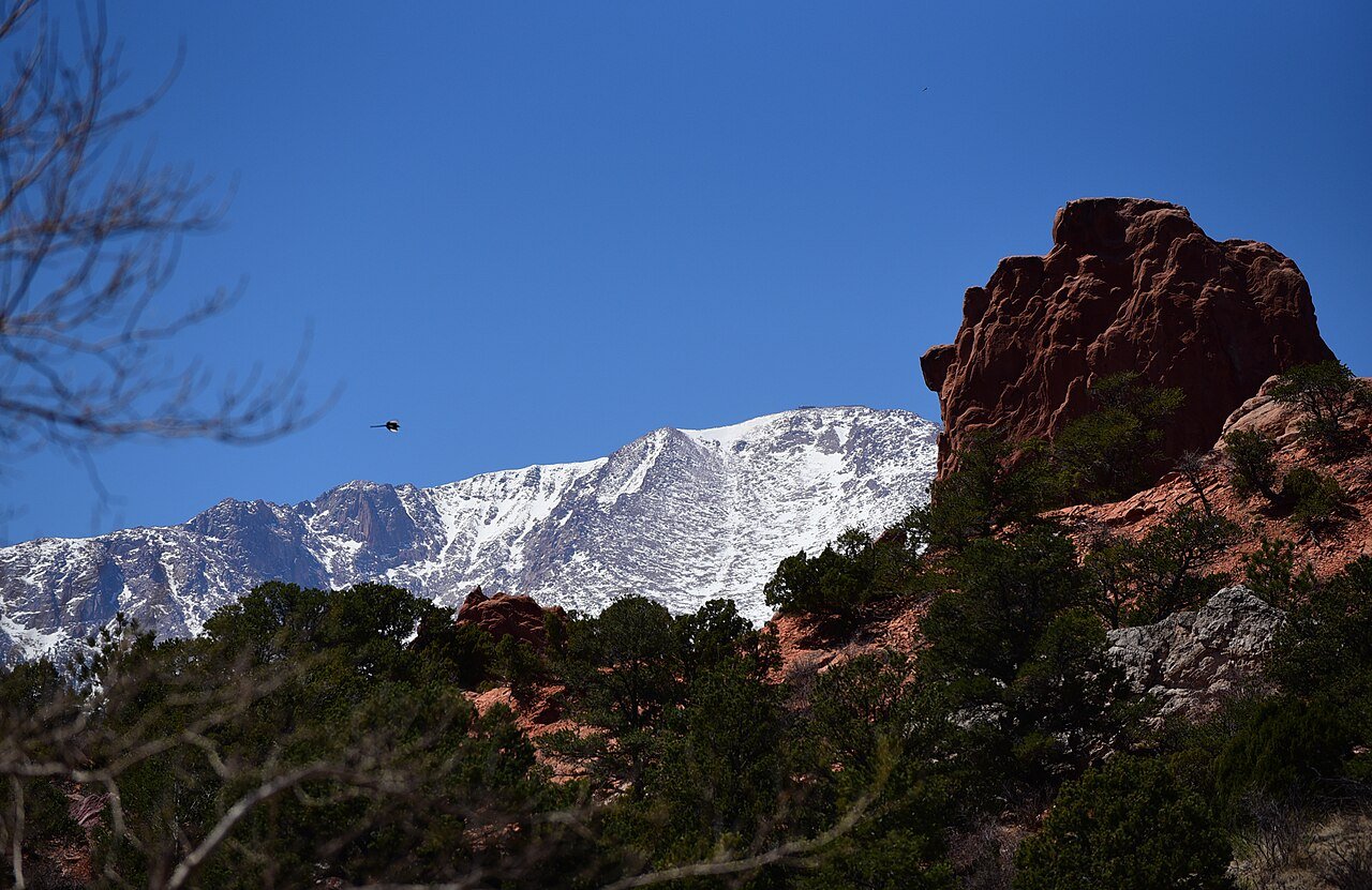
Photo: Staff Sgt. Amber Grimm / U.S. Air Force · Public domain (U.S. federal government work). Image resized for web display.


Begin close to town at Willow Springs Ponds
Fountain Creek Regional Park includes Willow Springs Ponds, where the county permits fishing. This can be a simpler starting point than driving into the mountains for a short first outing. Do not confuse the ponds with the nature center's wildlife area: the latter does not allow fishing. Use the county map to find the intended access, bring only the gear you need and leave room for other visitors sharing the bank and nearby paths.
Official planning information · Additional official guidance
Set aside time for Eleven Mile
Eleven Mile State Park is a larger reservoir outing west of Colorado Springs, not an in-town stop. Check park access, weather and the current fishing information before leaving. Choose shore fishing or a properly planned boat trip based on the equipment and experience of the group. An exposed reservoir can feel very different from a sheltered urban pond. Keep launch arrangements, inspections and the drive separate from the actual time you expect to spend fishing.
Make rafting a dedicated regional trip
The Arkansas Headwaters Recreation Area includes many river sections with substantially different whitewater. That makes the exact reach more important than the broad label 'rafting near Colorado Springs.' Discuss experience, age requirements, physical demands and current flows with the outfitter. Do not choose a technical trip because a dramatic photograph looks appealing. Set aside enough time for reaching the meeting point, outfitting, the safety briefing, transport and changing afterward rather than counting only the hours on the river.
Keep the rules specific to the water
Use the current Colorado fishing brochure and the rules for the exact water before casting. A license does not authorize entry across private property or fishing in a closed wildlife area. For boating and rafting, clarify the operator's requirements and what equipment is supplied. Keep a dry set of clothes and a simple return plan, and avoid placing a second time-sensitive reservation immediately after the outing. A well-chosen shorter trip is more useful than a long day dominated by driving and hurried transitions.
Official planning information · Additional official guidance
Keep planning
More ways to explore
Skiing & winter recreation
Plan winter outings around Colorado Springs, with activity choices, seasonal access and practical resources.
Read the guideHiking & biking
Explore hiking and biking around Colorado Springs, with route choices, access details and official trail resources.
Read the guideWildlife & fall photography
Find wildlife and landscape photography ideas around Colorado Springs, with seasonal planning and responsible viewing advice.
Read the guideYour Open Road Bucket List
Save a place. Plan the trip.
0 saved stops in this browser.
Sources, photo credits and map details
Planning information checked November 14, 2026. Follow the linked operators and land managers for changes.
- Colorado Parks and Wildlife fishing licenses
- CPW: Arkansas River sections
- CPW: Eleven Mile State Park
- El Paso County: Fountain Creek Nature Center
- El Paso County: Fountain Creek Regional Park
- www.fs.usda.gov
- www.openstreetmap.org
- www.openstreetmap.org
- www.wikidata.org
- www.wikidata.org
- www.wikidata.org
- www.wikidata.org
- www.wikidata.org
- 2025 Census Gazetteer: Colorado places
Photo credits
- Photo: Staff Sgt. Amber Grimm / U.S. Air Force · Public domain (U.S. federal government work). Image resized for web display.
The destination map pin represents the town area. It is not a trailhead, parking entrance or route instruction. Specific attraction points are recorded only when a source can be verified. Use the official access information before setting out. OpenStreetMap-derived attraction points, where used, are credited to OpenStreetMap contributors under the ODbL.